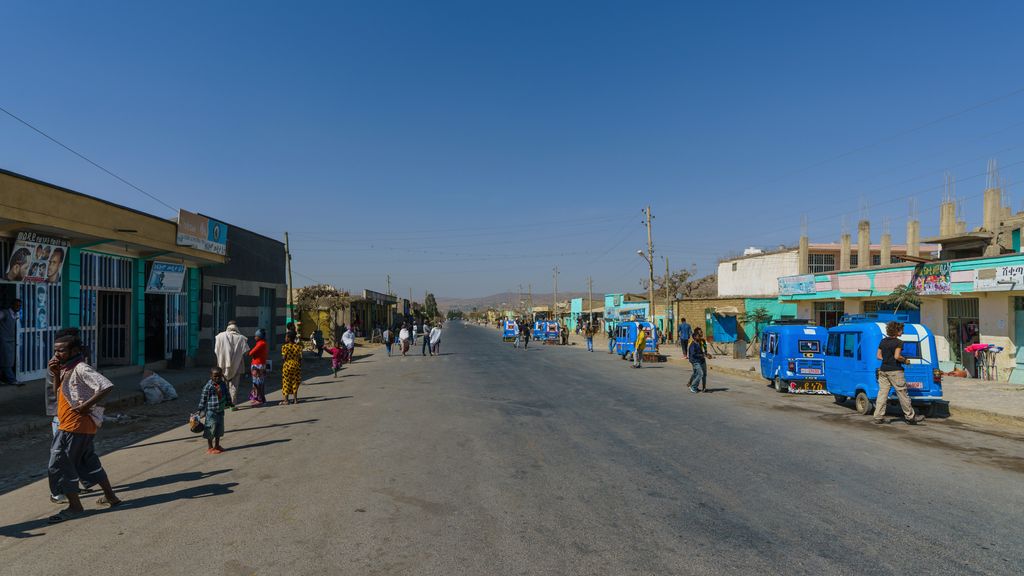
Agula is a town located in northern Ethiopia. Located in the Debubawi (Southern) Zone of the Tigray Region, it lies about 32 km northeast of Mekelle, just east of the Mekelle to Addis Ababa highway, and 25 km north of Qwiha. It has a latitude and longitude of 13°41′30″N 39°35′30″E with an elevation of 1,930 metres above sea level. It is one of three towns in Kilte Awulaelo woreda. Nearby is a stream and a pass (elevation 2,030 metres) which share the same name. Agula was an important station on the salt caravan route from Dallol west to Atsbi.
We use GPS information embedded into the photo when it is available.
3D mountains overlay
Adjust mountain panorama to perfectly match your photos because recorded by camera photo position might be imprecise.
Move tool
Rotate tool
Zoom
More customization
Choose which peak labels should make into the final photo and what photo title should be.
Next
Photo Location
Satellitte
Flat map
Relief map
Latitude
Longitude
Altitude
OR
Latitude
°'''
Longitude
°'''
Apply
Register Peak
Peak Name
Latitude
Longitude
Altitude
Register
Teleport
PeakVisor
This 3D model of Sagarmatha National Park in Nepal was made using the PeakVisor app topographic data. The mobile app features higher precision models worldwide, more topographic details, and works offline. Download PeakVisor maps today.
Download OBJ model
PeakVisor
The download should start shortly. If you find it useful please consider supporting the PeakVisor app.
PeakVisor for iOS and Android
Be a superhero of outdoor navigation with state-of-the-art 3D maps and mountain identification in the palm of your hand!