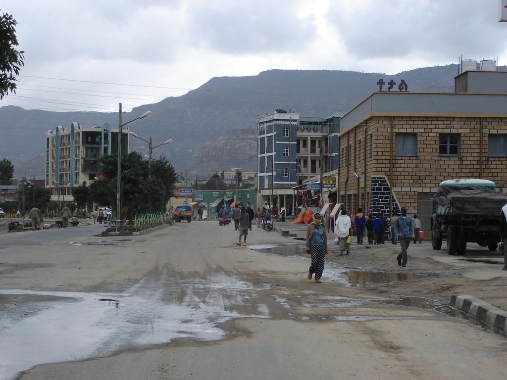
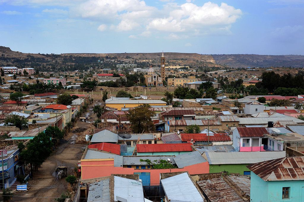
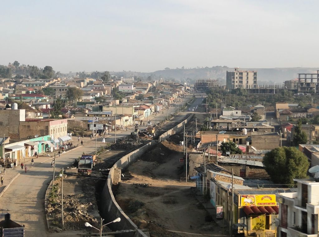
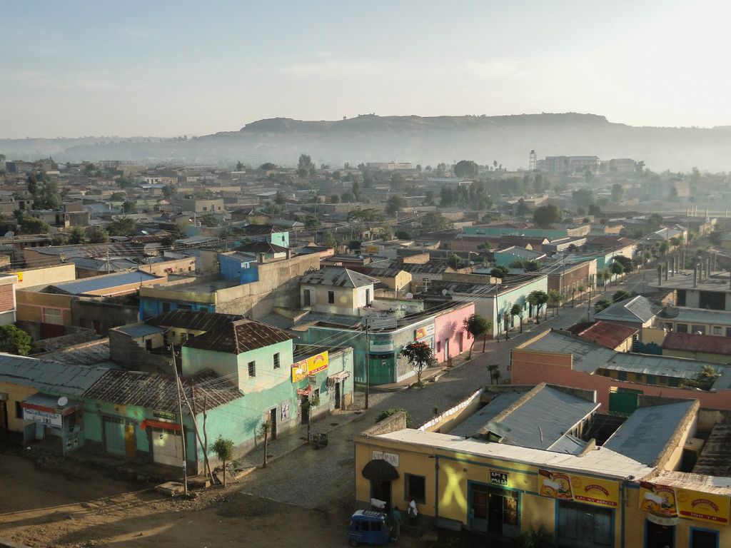
Adigrat (Tigrinya: ዓዲግራት , ʿaddigrat, also called ʿAddi Grat) is a city and separate woreda in Tigray Region of Ethiopia. It is located in the Misraqawi Zone at longitude and latitude 14°16′N 39°27′E, with an elevation of 2,457 metres (8,061 ft) above sea level and below a high ridge to the west. Adigrat is a strategically important gateway to Eritrea and the Red Sea. Adigrat was part of Ganta Afeshum woreda before a separate woreda was created for the city. Currently, Adigrat serves as the capital of the Eastern Tigray zone. Adigrat is one of the most important cities of Tigray, which evolved from earlier political centers and camps of regional governors. Antalo, Aläqot and Adigrat were a few of them. The decline of Antalo was followed by the rise of Adigrat as another prominent, yet short-lived, capital of Tigray. It used to serve as the capital of Agame.
We use GPS information embedded into the photo when it is available.
3D mountains overlay
Adjust mountain panorama to perfectly match your photos because recorded by camera photo position might be imprecise.
Move tool
Rotate tool
Zoom
More customization
Choose which peak labels should make into the final photo and what photo title should be.
Next
Photo Location
Satellitte
Flat map
Relief map
Latitude
Longitude
Altitude
OR
Latitude
°'''
Longitude
°'''
Apply
Register Peak
Peak Name
Latitude
Longitude
Altitude
Register
Teleport
PeakVisor
This 3D model of Sagarmatha National Park in Nepal was made using the PeakVisor app topographic data. The mobile app features higher precision models worldwide, more topographic details, and works offline. Download PeakVisor maps today.
Download OBJ model
PeakVisor
The download should start shortly. If you find it useful please consider supporting the PeakVisor app.
PeakVisor for iOS and Android
Be a superhero of outdoor navigation with state-of-the-art 3D maps and mountain identification in the palm of your hand!