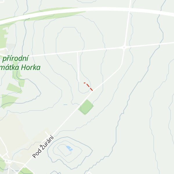
Žuráň is a small hill (286 metres) near the village of Podolí in the Czech Republic.
Žuráň is and important as tumulus of ancient Germanic high aristocracy of Moravia (probably from 5th and 6th century) and a rich archaeological site, and therefore it is declared to be a cultural monument. According to historian Josef Poulík king Wacho was buried there, but later historians are not certain about identity of buried people).
The hill is also famous because on 2 December 1805 Napoleon Bonaparte led his battle of Austerlitz from its peak. Therefore, peak of Žuráň was proclaimed to be extraterritoriality of France. At the peak of the hill there is a small memorial of battle (with a map of battlefield) and also flags of all nations fighting in the battle.
We use GPS information embedded into the photo when it is available.
3D mountains overlay
Adjust mountain panorama to perfectly match your photos because recorded by camera photo position might be imprecise.
Move tool
Rotate tool
Zoom
More customization
Choose which peak labels should make into the final photo and what photo title should be.
Next
Photo Location
Satellitte
Flat map
Relief map
Latitude
Longitude
Altitude
OR
Latitude
°'''
Longitude
°'''
Apply
Register Peak
Peak Name
Latitude
Longitude
Altitude
Register
Teleport
PeakVisor
This 3D model of Sagarmatha National Park in Nepal was made using the PeakVisor app topographic data. The mobile app features higher precision models worldwide, more topographic details, and works offline. Download PeakVisor maps today.
Download OBJ model
PeakVisor
The download should start shortly. If you find it useful please consider supporting the PeakVisor app.
PeakVisor for iOS and Android
Be a superhero of outdoor navigation with state-of-the-art 3D maps and mountain identification in the palm of your hand!


.jpg)
.jpg)