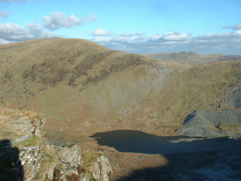
Allt-fawr is a mountain in Snowdonia, North Wales and forms part of the Moelwynion group.
It is on the internal border of Snowdonia National Park, and overlooks the town of Blaenau Ffestiniog, with its numerous slate quarries, as well as the Tanygrisiau reservoir and power station. On the northern slope of Allt-fawr is the Oakeley Quarry, the world's largest underground slate mine. On the southern slope is the large Cwmorthin Quarry. These two mines are joined underneath the summit of Allt-fawr and the extensive chambering and adits are visible on the surface of the mountain where underground workings have collapsed.
By elevation Yr Allt Fawr is
# 62 out of 731 in Gwynedd
By prominence Yr Allt Fawr is
# 51 out of 3092 in the Wales Mountains # 25 out of 731 in Gwynedd # 51 out of 3083 in Wales
We use GPS information embedded into the photo when it is available.
3D mountains overlay
Adjust mountain panorama to perfectly match your photos because recorded by camera photo position might be imprecise.
Move tool
Rotate tool
Zoom
More customization
Choose which peak labels should make into the final photo and what photo title should be.
Next
Photo Location
Satellitte
Flat map
Relief map
Latitude
Longitude
Altitude
OR
Latitude
°'''
Longitude
°'''
Apply
Register Peak
Peak Name
Latitude
Longitude
Altitude
Register
Teleport
PeakVisor
This 3D model of Sagarmatha National Park in Nepal was made using the PeakVisor app topographic data. The mobile app features higher precision models worldwide, more topographic details, and works offline. Download PeakVisor maps today.
Download OBJ model
PeakVisor
The download should start shortly. If you find it useful please consider supporting the PeakVisor app.
PeakVisor for iOS and Android
Be a superhero of outdoor navigation with state-of-the-art 3D maps and mountain identification in the palm of your hand!