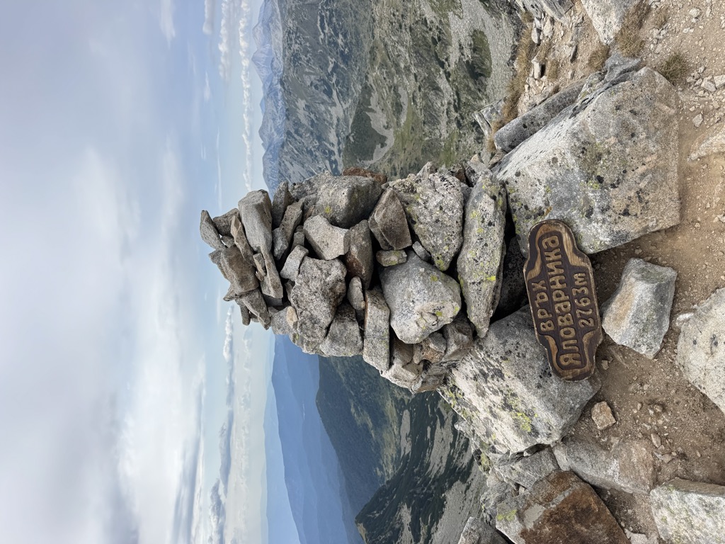
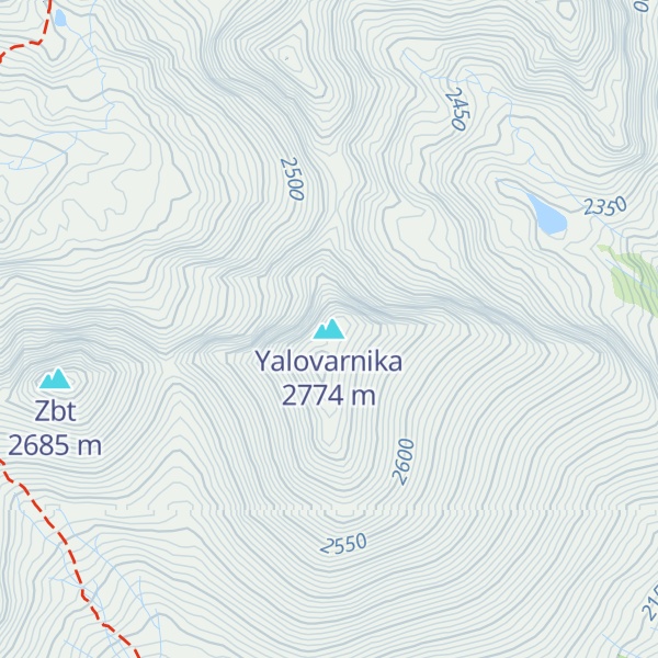
Yalovarnika (Bulgarian: Яловарника [jaɫoˈvarnikɐ]) is a 2,763 m-high peak in the Pirin mountain range, south-western Bulgaria. It is located in the northern part of Pirin on the 22 km-long Kamenitsa secondary ridge between the summits of Kamenitsa (2,822 m) to the north and Zabat (2,688 m), Kuklite (2,686 m) and Golena (2,633 m) to the south.
Yalovarnika is a massive granite peak. Seen from the Mozgovishka Gate, its distinctive double-peak profile stands out between the summits of Kamenitsa and Kuklite. The former is connected to Yalovarnika through a series of steep rock gendarmes. A deeply cut saddle divides it from Zabat to the south-west.
The north-western slopes of Yalovarnika are open to the pebbly Begovitsa cirque and have a typical alpine look. They are almost vertical, severely smoothed and eroded, with extensive anhydrous stone-piles at the base of the summit. To the north-east, the slopes are also rocky and harbour the Manenko Lake at their base.
The southern and south-eastern slopes are oblique, grassy and covered with juniper. They are a massive denudation, descending to the valley of the Pirinska Bistritsa river at an altitude of 1900-2000 m and forming the northern parts of the Bashmandra cirque. From these slopes there are numerous streams that flow into the Bashmandra river.
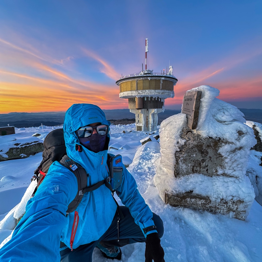
There's a trail leading to the summit.
By elevation Yalovarnika is
# 16 out of 93 in Pirin National Park # 19 out of 451 in Blagoevgrad # 26 out of 4517 in Bulgaria # 26 out of 3579 in the Bulgarian Ranges
By prominence Yalovarnika is
# 9 out of 93 in Pirin National Park # 39 out of 451 in Blagoevgrad
We use GPS information embedded into the photo when it is available.
3D mountains overlay
Adjust mountain panorama to perfectly match your photos because recorded by camera photo position might be imprecise.
Move tool
Rotate tool
Zoom
More customization
Choose which peak labels should make into the final photo and what photo title should be.
Next
Photo Location
Satellitte
Flat map
Relief map
Latitude
Longitude
Altitude
OR
Latitude
°'''
Longitude
°'''
Apply
Register Peak
Peak Name
Latitude
Longitude
Altitude
Register
Teleport
PeakVisor
This 3D model of Sagarmatha National Park in Nepal was made using the PeakVisor app topographic data. The mobile app features higher precision models worldwide, more topographic details, and works offline. Download PeakVisor maps today.
Download OBJ model
PeakVisor
The download should start shortly. If you find it useful please consider supporting the PeakVisor app.
PeakVisor for iOS and Android
Be a superhero of outdoor navigation with state-of-the-art 3D maps and mountain identification in the palm of your hand!