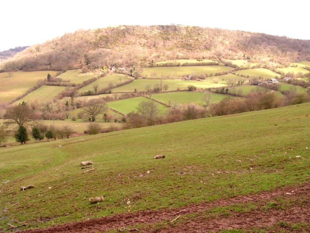
Wenallt Hill (often called simply The Wenallt) is a hill located in Cardiff, Wales. The name is Welsh and translates to 'white wooded slope'.
Although some residents of Cardiff may refer to it as a mountain, its height restricts it from being declared a mountain. It is owned by Cardiff County Council and operated as public land, and looks down onto the village of Rhiwbina in the northern suburbs of Cardiff, Wales.
It is mostly noticed for its large transmitter which is owned by British Telecom and space is then leased out to companies this aerial mast that helps boost television and radio signals from Cardiff across to the South Wales Valleys. There is a heavily vandalised former military bunker located near the masts. Although public access is possible to this location, the land is privately owned and presently leased to a riding school, so no dogs may be taken there and care should be taken to act responsibly and remove all litter.
Just like the Garth Mountain a mile or so away, the Wenallt Mountain can be seen over most of the Cardiff city centre, and on a sunny clear day can also be seen as far away as Weston-super-Mare, which is some eighteen miles away over the Bristol Channel in the southwest of England.
The south facing slope of the hill overlooking Cardiff is now covered in trees, whereas not so long ago in the early-1970s it was covered in ferns and bracken with a network of paths criss-crossing the slope. Bluebells are abundant in May.
We use GPS information embedded into the photo when it is available.
3D mountains overlay
Adjust mountain panorama to perfectly match your photos because recorded by camera photo position might be imprecise.
Move tool
Rotate tool
Zoom
More customization
Choose which peak labels should make into the final photo and what photo title should be.
Next
Photo Location
Satellitte
Flat map
Relief map
Latitude
Longitude
Altitude
OR
Latitude
°'''
Longitude
°'''
Apply
Register Peak
Peak Name
Latitude
Longitude
Altitude
Register
Teleport
PeakVisor
This 3D model of Sagarmatha National Park in Nepal was made using the PeakVisor app topographic data. The mobile app features higher precision models worldwide, more topographic details, and works offline. Download PeakVisor maps today.
Download OBJ model
PeakVisor
The download should start shortly. If you find it useful please consider supporting the PeakVisor app.
PeakVisor for iOS and Android
Be a superhero of outdoor navigation with state-of-the-art 3D maps and mountain identification in the palm of your hand!