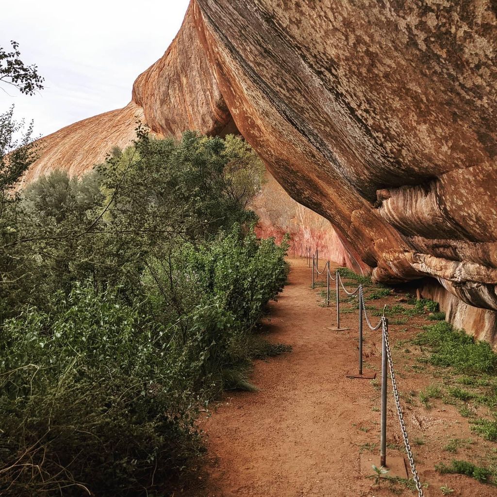
Walga Rock, also known as Walgahna Rock and Walganna Rock, is a granite monolith situated about 48 kilometres (30 mi) west of Cue, Western Australia,: 46 within the Austin Downs pastoral lease. It is one of the largest granite monoliths in Australia.
It is of profound cultural significance to Aboriginal people; the Wajarri elders are the acknowledged traditional owners. An extensive gallery of Aboriginal art exists within a cave in Walga Rock.: 46 While it is the subject of a great deal of research and fieldwork subsequent to a detailed examination conducted in the 1930s by the American anthropologist D. S. Davidson (who considered it to be "one of the most extensive galleries so far reported in Australia"), the first known European record of Walga is by Daisy Bates. Though she did not visit the rock and its gallery when travelling through the region in 1908, "Walga" is marked near the mining towns of Cue and Day Dawn and many other sites of Aboriginal significance on sketch Map 19 held at the State Library of Western Australia as part of her Special Map Collection.
We use GPS information embedded into the photo when it is available.
3D mountains overlay
Adjust mountain panorama to perfectly match your photos because recorded by camera photo position might be imprecise.
Move tool
Rotate tool
Zoom
More customization
Choose which peak labels should make into the final photo and what photo title should be.
Next
Photo Location
Satellitte
Flat map
Relief map
Latitude
Longitude
Altitude
OR
Latitude
°'''
Longitude
°'''
Apply
Register Peak
Peak Name
Latitude
Longitude
Altitude
Register
Teleport
PeakVisor
This 3D model of Sagarmatha National Park in Nepal was made using the PeakVisor app topographic data. The mobile app features higher precision models worldwide, more topographic details, and works offline. Download PeakVisor maps today.
Download OBJ model
PeakVisor
The download should start shortly. If you find it useful please consider supporting the PeakVisor app.
PeakVisor for iOS and Android
Be a superhero of outdoor navigation with state-of-the-art 3D maps and mountain identification in the palm of your hand!