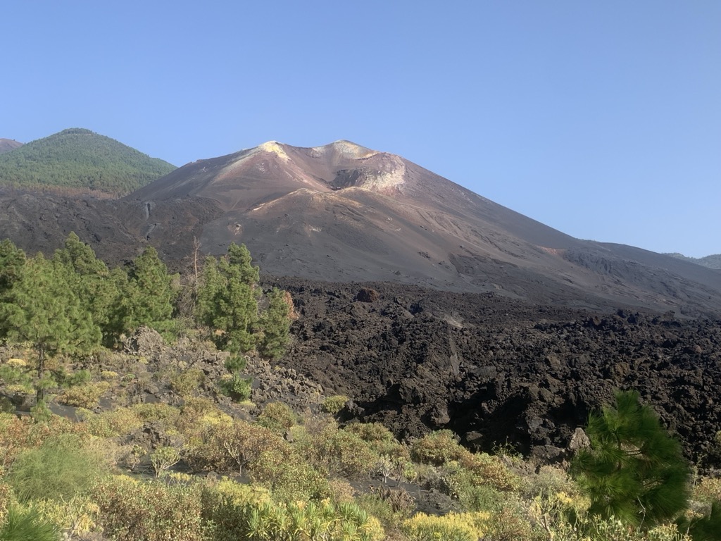
An eruption at the Cumbre Vieja volcanic ridge, comprising the southern half of the Spanish island of La Palma in the Canary Islands, took place between 19 September and 13 December 2021. It was the first volcanic eruption on the island since the eruption of Teneguía in 1971. At 85 days, it is the longest known and the most damaging volcanic eruption on La Palma since records began. The total damage caused by the volcano amounts up to 843 million euros.
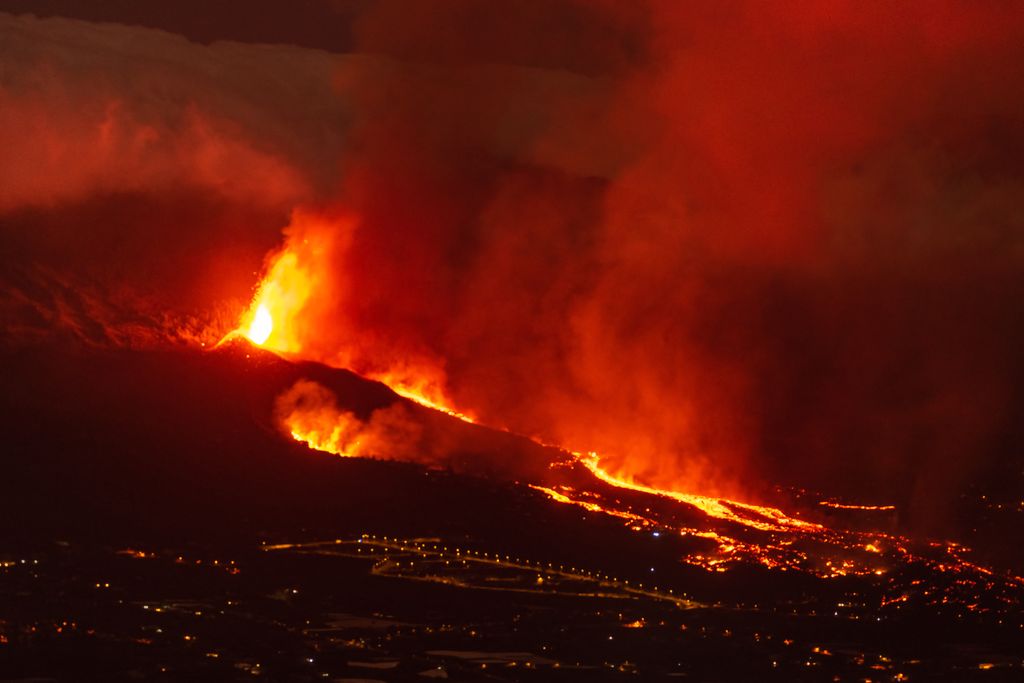
The lava flow covered over 1,000 hectares (2,500 acres), prompting the evacuation of around 7,000 people. The lava flow was about 3.5 kilometres (2.2 miles) wide at its widest point, about 6.2 kilometres (3.9 miles) long and reached the sea, destroying more than 3,000 buildings, cutting the coastal highway and forming a new peninsula, as well as an extensive system of lava tubes. The town of Todoque, including its easternmost neighbourhood Los Campitos, was completely destroyed by lava, which also reached La Laguna (a town within the municipality of Los Llanos de Aridane). One death was caused by inhalation of toxic gases from the volcano.
We use GPS information embedded into the photo when it is available.
3D mountains overlay
Adjust mountain panorama to perfectly match your photos because recorded by camera photo position might be imprecise.
Move tool
Rotate tool
Zoom
More customization
Choose which peak labels should make into the final photo and what photo title should be.
Next
Photo Location
Satellitte
Flat map
Relief map
Latitude
Longitude
Altitude
OR
Latitude
°'''
Longitude
°'''
Apply
Register Peak
Peak Name
Latitude
Longitude
Altitude
Register
Teleport
PeakVisor
This 3D model of Sagarmatha National Park in Nepal was made using the PeakVisor app topographic data. The mobile app features higher precision models worldwide, more topographic details, and works offline. Download PeakVisor maps today.
Download OBJ model
PeakVisor
The download should start shortly. If you find it useful please consider supporting the PeakVisor app.
PeakVisor for iOS and Android
Be a superhero of outdoor navigation with state-of-the-art 3D maps and mountain identification in the palm of your hand!