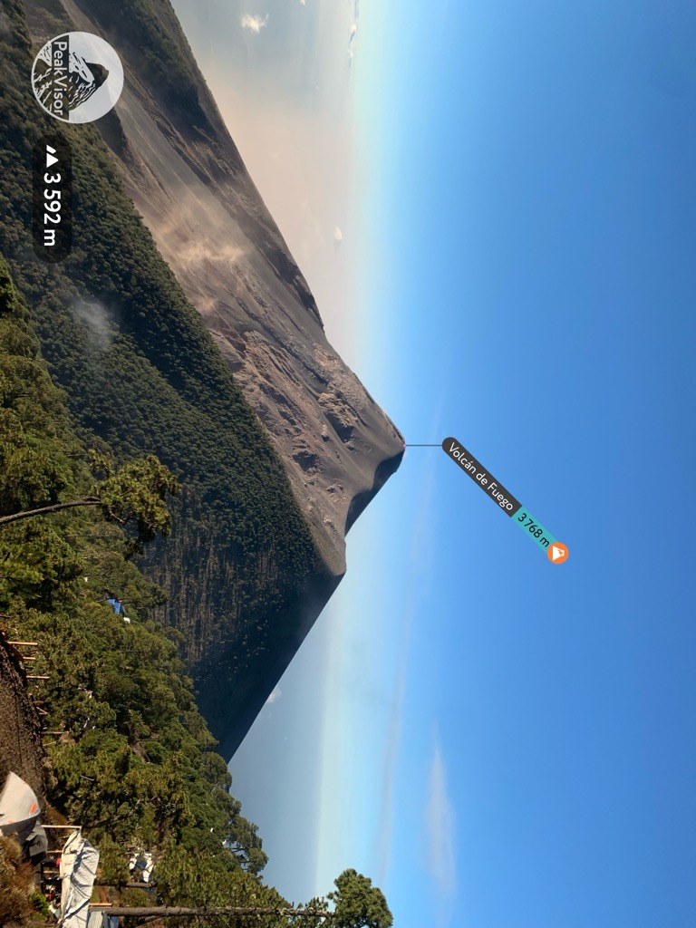
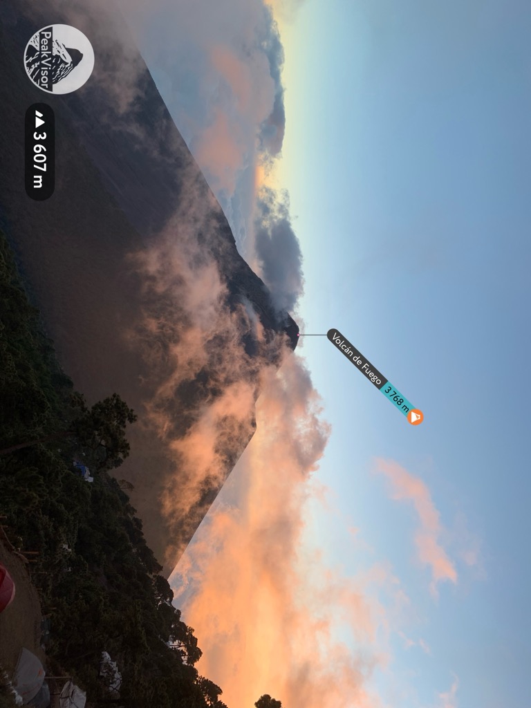
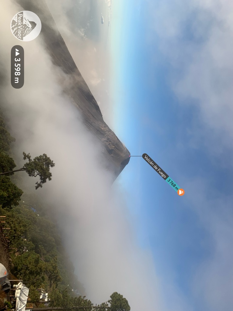
Volcán de Fuego (Spanish pronunciation: [bolˈkan de ˈfweɣo]; Spanish for "Volcano of Fire", often shortened to Fuego) or Chi Q'aq' (Kaqchikel for "where the fire is") is an active stratovolcano in Guatemala, on the borders of Chimaltenango, Escuintla and Sacatepéquez departments.
Part of the mountain range of the Sierra Madre, the volcano sits about 16 kilometres (9.9 mi) west of Antigua, one of Guatemala's most famous cities and a tourist destination. It has erupted frequently, most recently in June and November 2018, 23 September 2021, 11 December 2022, and 4 May 2023.
Fuego is famous for being almost constantly active at a low level. Small explosions of gas and ash occur every 15 to 20 minutes, but larger eruptions are less frequent. Andesite and basalt lava types dominate, and recent eruptions have tended to be more mafic than older (prehistoric) ones.
The volcano is joined with Acatenango volcano to its north and collectively the complex is known as La Horqueta. Between Fuego and Acatenango is La Meseta, a scarp marking the remains of an older volcano that collapsed around 8,500 years ago. Fuego volcano started to grow after the collapse of La Meseta.
By elevation Volcán de Fuego is
# 10 out of 1640 in Guatemala # 4 out of 44 in Sacatepéquez # 1 out of 38 in Escuintla # 4 out of 40 in Chimaltenango # 3 out of 5 in Alotenango # 1 out of 12 in Escuintla # 3 out of 3 in Yepocapa # 1 out of 2 in Reserva Volcán Fuego # 7 out of 1266 in the Guatemala Ranges
By prominence Volcán de Fuego is
# 77 out of 1640 in Guatemala # 5 out of 44 in Sacatepéquez # 3 out of 38 in Escuintla # 4 out of 40 in Chimaltenango # 3 out of 5 in Alotenango # 1 out of 12 in Escuintla # 2 out of 3 in Yepocapa # 1 out of 2 in Reserva Volcán Fuego # 64 out of 1266 in the Guatemala Ranges
We use GPS information embedded into the photo when it is available.
3D mountains overlay
Adjust mountain panorama to perfectly match your photos because recorded by camera photo position might be imprecise.
Move tool
Rotate tool
Zoom
More customization
Choose which peak labels should make into the final photo and what photo title should be.
Next
Photo Location
Satellitte
Flat map
Relief map
Latitude
Longitude
Altitude
OR
Latitude
°'''
Longitude
°'''
Apply
Register Peak
Peak Name
Latitude
Longitude
Altitude
Register
Teleport
PeakVisor
This 3D model of Sagarmatha National Park in Nepal was made using the PeakVisor app topographic data. The mobile app features higher precision models worldwide, more topographic details, and works offline. Download PeakVisor maps today.
Download OBJ model
PeakVisor
The download should start shortly. If you find it useful please consider supporting the PeakVisor app.
PeakVisor for iOS and Android
Be a superhero of outdoor navigation with state-of-the-art 3D maps and mountain identification in the palm of your hand!


.jpg)


