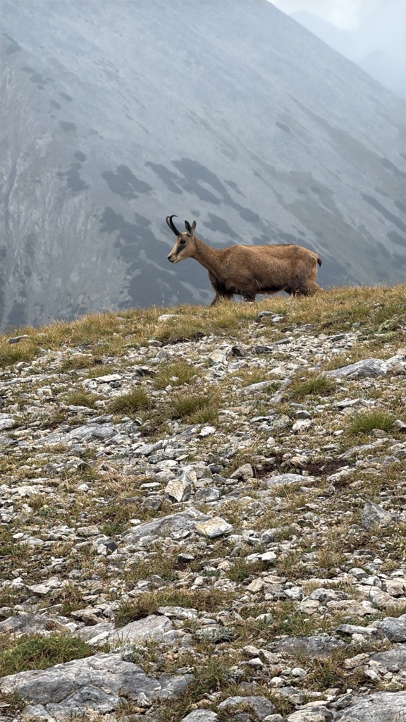
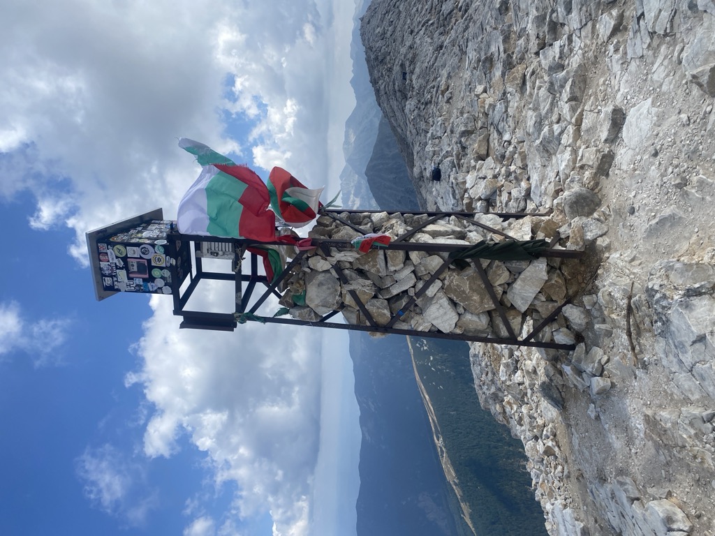
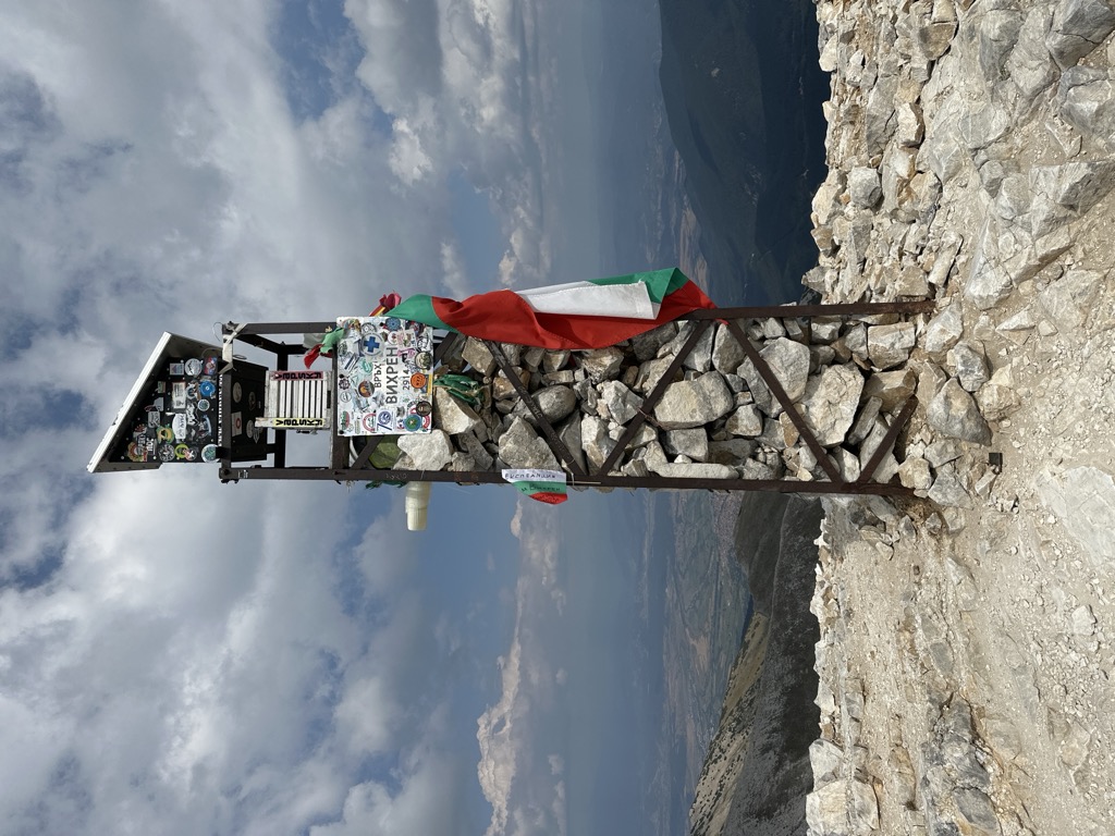
Vihren (Bulgarian: Вихрен [ˈvixrɛn]) is the highest peak of Bulgaria's Pirin Mountains. Reaching 2,914 metres (9,560 ft), it is Bulgaria's second and the Balkans' third highest, after Musala and Mount Olympus. Although Vihren is deprived of lakes and streams due to the karst topography, a number of Pirin's lakes are located around the peak, as is Europe's southernmost glacial mass, the Snezhnika glacieret. Until 1942 Vihren was known as Eltepe (peak of storms); it was also called Buren (stormy) and Malnienosets (lightning-bringer). The UNESCO World Heritage Site Pirin National Park was originally known as the Vihren National Park. Vihren is included in the 100 Tourist Sites of Bulgaria under No. 2.
There's a demading hiking trail (T3) leading to the summit. Vihren is one of the 395 peaks along the multi-day European long distance path E4.
The nearest mountain hut is Kazana Shelter located 885m/2 904ft ENE of the summit.
By elevation Vihren is
# 1 out of 93 in Pirin National Park # 1 out of 451 in Blagoevgrad # 2 out of 4517 in Bulgaria # 2 out of 3579 in the Bulgarian Ranges
By prominence Vihren is
# 1 out of 93 in Pirin National Park # 1 out of 451 in Blagoevgrad # 2 out of 4517 in Bulgaria # 2 out of 3579 in the Bulgarian Ranges
We use GPS information embedded into the photo when it is available.
3D mountains overlay
Adjust mountain panorama to perfectly match your photos because recorded by camera photo position might be imprecise.
Move tool
Rotate tool
Zoom
More customization
Choose which peak labels should make into the final photo and what photo title should be.
Next
Photo Location
Satellitte
Flat map
Relief map
Latitude
Longitude
Altitude
OR
Latitude
°'''
Longitude
°'''
Apply
Register Peak
Peak Name
Latitude
Longitude
Altitude
Register
Teleport
PeakVisor
This 3D model of Sagarmatha National Park in Nepal was made using the PeakVisor app topographic data. The mobile app features higher precision models worldwide, more topographic details, and works offline. Download PeakVisor maps today.
Download OBJ model
PeakVisor
The download should start shortly. If you find it useful please consider supporting the PeakVisor app.
PeakVisor for iOS and Android
Be a superhero of outdoor navigation with state-of-the-art 3D maps and mountain identification in the palm of your hand!