Trebević (Serbian Cyrillic: Требевић) is a mountain in central Bosnia and Herzegovina, located in the territories of Sarajevo and East Sarajevo city, bordering Jahorina mountain. Trebević is 1,627 meters (5,338 ft) tall, making it the second shortest of the Sarajevo mountains.
During the Middle Ages, Trebević was known as Zlatni Do. During the 1984 Winter Olympics Trebević, like the other Sarajevo mountains, was used for several Olympic events, such as bobsledding.
Trebević today is important as a tourist destination for citizens of Sarajevo as Igman or Bjelašnica. Most of the land mines are now cleared from heavy fighting that took place in the early 1990s. There are a few hotels, mountaineering homes, and other such structures on Trebević and the immediate area. The mountain is very popular for family picnics, hiking, climbing, mountain biking and it has a downhill track for local and international skiing competitions.
Trebević has been the main excursion site for Sarajevo citizens due to the favorable geographical position, climate and the beauty of the nature. The biological diversity is among the highest and it is extraordinary to find such a phenomenon near the heart of the big city. On 9 April 2014, Sarajevo Canton Assembly declared Trebević a protected area, in order to conserve and improve each element of the geographical and biological diversity.
Trebević can be reached from Sarajevo by the Trebević Cable Car, which starts from the neighbourhood of Bistrik.
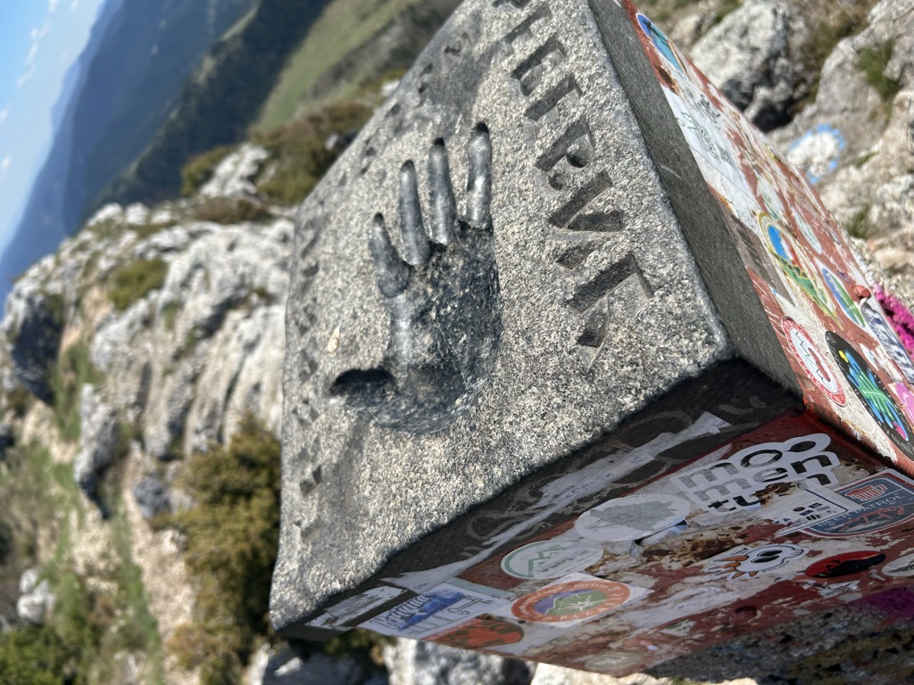
There's a hiking trail (T2) leading to the summit. Trebević is one of the 2 peaks along the Hiking Trail No. 1.
The nearest mountain hut is SPD Jure Franko located 1 320m/4 329ft WNW of the summit.
By elevation Trebević is
# 19 out of 414 in City of East Sarajevo
By prominence Trebević is
# 52 out of 4839 in Republika Srpska # 3 out of 414 in City of East Sarajevo
We use GPS information embedded into the photo when it is available.
3D mountains overlay
Adjust mountain panorama to perfectly match your photos because recorded by camera photo position might be imprecise.
Move tool
Rotate tool
Zoom
More customization
Choose which peak labels should make into the final photo and what photo title should be.
Next
Photo Location
Satellitte
Flat map
Relief map
Latitude
Longitude
Altitude
OR
Latitude
°'''
Longitude
°'''
Apply
Register Peak
Peak Name
Latitude
Longitude
Altitude
Register
Teleport
PeakVisor
This 3D model of Sagarmatha National Park in Nepal was made using the PeakVisor app topographic data. The mobile app features higher precision models worldwide, more topographic details, and works offline. Download PeakVisor maps today.
Download OBJ model
PeakVisor
The download should start shortly. If you find it useful please consider supporting the PeakVisor app.
PeakVisor for iOS and Android
Be a superhero of outdoor navigation with state-of-the-art 3D maps and mountain identification in the palm of your hand!