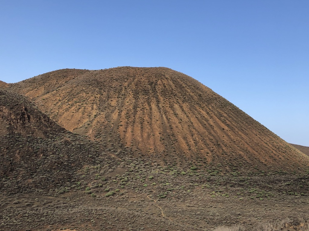
Tope de Coroa is a mountain on the island of Santo Antão's, Cape Verde, Africa. At 1,979 m elevation, it is the highest point of the island. It is in the western part of the island, 25 km west of the island capital Porto Novo. The mountain is entirely of volcanic origin. The area is the source of several streams including Ribeira de Monte Trigo which flows westward to Monte Trigo.
The mountain forms part of a natural park, covering 84.92 km2 (32.79 sq mi). It contains 61% of the endemic angiosperm plants of Cape Verde, of which 25% are in the red list of endangered species, including Periploca laevigata subsp. chevalieri. Free grazing is a threat to the biodiversity of the area. Tope de Coroa consists of relatively young volcanic rock, formed between 200,000 and 170,000 years ago.
By elevation Topo da Coroa is
# 1 out of 51 in Porto Novo # 7 out of 292 in Cape Verde
By prominence Topo da Coroa is
# 1 out of 51 in Porto Novo # 2 out of 292 in Cape Verde
We use GPS information embedded into the photo when it is available.
3D mountains overlay
Adjust mountain panorama to perfectly match your photos because recorded by camera photo position might be imprecise.
Move tool
Rotate tool
Zoom
More customization
Choose which peak labels should make into the final photo and what photo title should be.
Next
Photo Location
Satellitte
Flat map
Relief map
Latitude
Longitude
Altitude
OR
Latitude
°'''
Longitude
°'''
Apply
Register Peak
Peak Name
Latitude
Longitude
Altitude
Register
Teleport
PeakVisor
This 3D model of Sagarmatha National Park in Nepal was made using the PeakVisor app topographic data. The mobile app features higher precision models worldwide, more topographic details, and works offline. Download PeakVisor maps today.
Download OBJ model
PeakVisor
The download should start shortly. If you find it useful please consider supporting the PeakVisor app.
PeakVisor for iOS and Android
Be a superhero of outdoor navigation with state-of-the-art 3D maps and mountain identification in the palm of your hand!