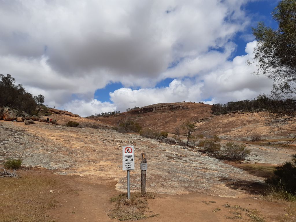
The Humps is a granite rock formation known as a "stepped bornhardt inselberg". It is located within The Humps Nature Reserve approximately 295 kilometres (183 mi) east of Perth and 17 kilometres (11 mi) north east of Hyden in the eastern wheatbelt region of Western Australia.
Rising about 80 metres (260 ft) above the surrounding plains, The Humps is one of numerous rock formations in the area. Approximately 15 kilometres (9.3 mi) to its south is Hyden Rock whose northern side features the Wave Rock formation. Also in the area are Scrivener Rocks and Camel Peaks roughly 13 kilometres (8.1 mi) west of The Humps, Anderson Rocks about 19 kilometres (12 mi) north, and King Rocks approximately 18 kilometres (11 mi) east of The Humps.
We use GPS information embedded into the photo when it is available.
3D mountains overlay
Adjust mountain panorama to perfectly match your photos because recorded by camera photo position might be imprecise.
Move tool
Rotate tool
Zoom
More customization
Choose which peak labels should make into the final photo and what photo title should be.
Next
Photo Location
Satellitte
Flat map
Relief map
Latitude
Longitude
Altitude
OR
Latitude
°'''
Longitude
°'''
Apply
Register Peak
Peak Name
Latitude
Longitude
Altitude
Register
Teleport
PeakVisor
This 3D model of Sagarmatha National Park in Nepal was made using the PeakVisor app topographic data. The mobile app features higher precision models worldwide, more topographic details, and works offline. Download PeakVisor maps today.
Download OBJ model
PeakVisor
The download should start shortly. If you find it useful please consider supporting the PeakVisor app.
PeakVisor for iOS and Android
Be a superhero of outdoor navigation with state-of-the-art 3D maps and mountain identification in the palm of your hand!