Tākaka Hill is a range of hills in the northwest of the South Island of New Zealand. Made of marble that has weathered into many strange forms and with numerous sink holes, it is typical karst country. The marble is Ordovician in age and from the Takaka Terrane.
There is only one road winding over and around the flanks of Tākaka Hill, State Highway 60, following the valleys of the Tākaka River to the northwest and the Riuwaka River to the southeast. In July 2020, the name of the pass was officially gazetted as Tākaka Hill Saddle by the New Zealand Geographic Board.
It rises to 791 metres at its highest point and separates the coastal communities of Golden Bay from those of the more populous Tasman Bay to the southeast and because of its winding nature isolates Golden Bay from the rest of the South Island.
Tākaka Hill is notable for its (now defunct) marble quarry and for many limestone caves and sinkholes, including Ngarua Caves which are open to the public and feature deposits of moa bones. Harwood's Hole, at one time the deepest cave in New Zealand, is also to be found on Tākaka Hill.
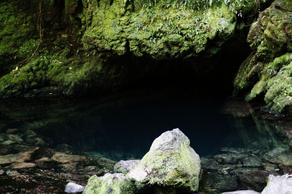
Many of the caves drain into The Resurgence, a spring at the foot of the hill.
Labyrinth Rock Park, near Tākaka township, is an accessible natural rock maze of sculptured rocks, corrugated walls and vertical clefts.
Tākaka Hill, as many other areas in and around the Golden Bay, has also been the location for many scenes filmed for The Lord of the Rings film trilogy.
We use GPS information embedded into the photo when it is available.
3D mountains overlay
Adjust mountain panorama to perfectly match your photos because recorded by camera photo position might be imprecise.
Move tool
Rotate tool
Zoom
More customization
Choose which peak labels should make into the final photo and what photo title should be.
Next
Photo Location
Satellitte
Flat map
Relief map
Latitude
Longitude
Altitude
OR
Latitude
°'''
Longitude
°'''
Apply
Register Peak
Peak Name
Latitude
Longitude
Altitude
Register
Teleport
PeakVisor
This 3D model of Sagarmatha National Park in Nepal was made using the PeakVisor app topographic data. The mobile app features higher precision models worldwide, more topographic details, and works offline. Download PeakVisor maps today.
Download OBJ model
PeakVisor
The download should start shortly. If you find it useful please consider supporting the PeakVisor app.
PeakVisor for iOS and Android
Be a superhero of outdoor navigation with state-of-the-art 3D maps and mountain identification in the palm of your hand!