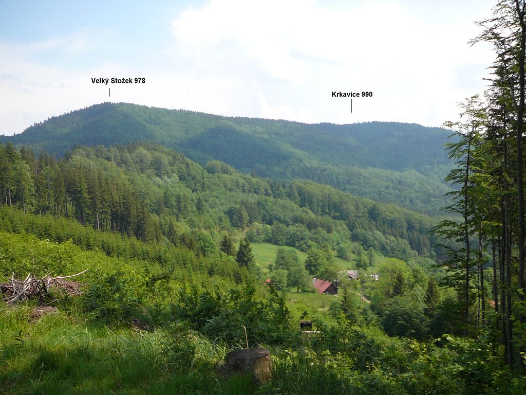
Stożek Wielki (Czech: Velký Stožek) (literally "big cone") is a mountain on the border of Poland and the Czech Republic, in the Silesian Beskids mountain range. It reaches a height of 978 meters.
The border can be crossed on the top, which is in easy range of the town of Wisła. It has a characteristic conical shape and on its slopes grow beech and coniferous trees.
The mountain hut was built on the mountain from the initiative of Polskie Towarzystwo Turystyczne "Beskid" (Polish Touristic Society "Beskid"). It was opened on 9 July 1922. The main initiators of the construction were PTT activists Józef Londzin and Jan Galicz.
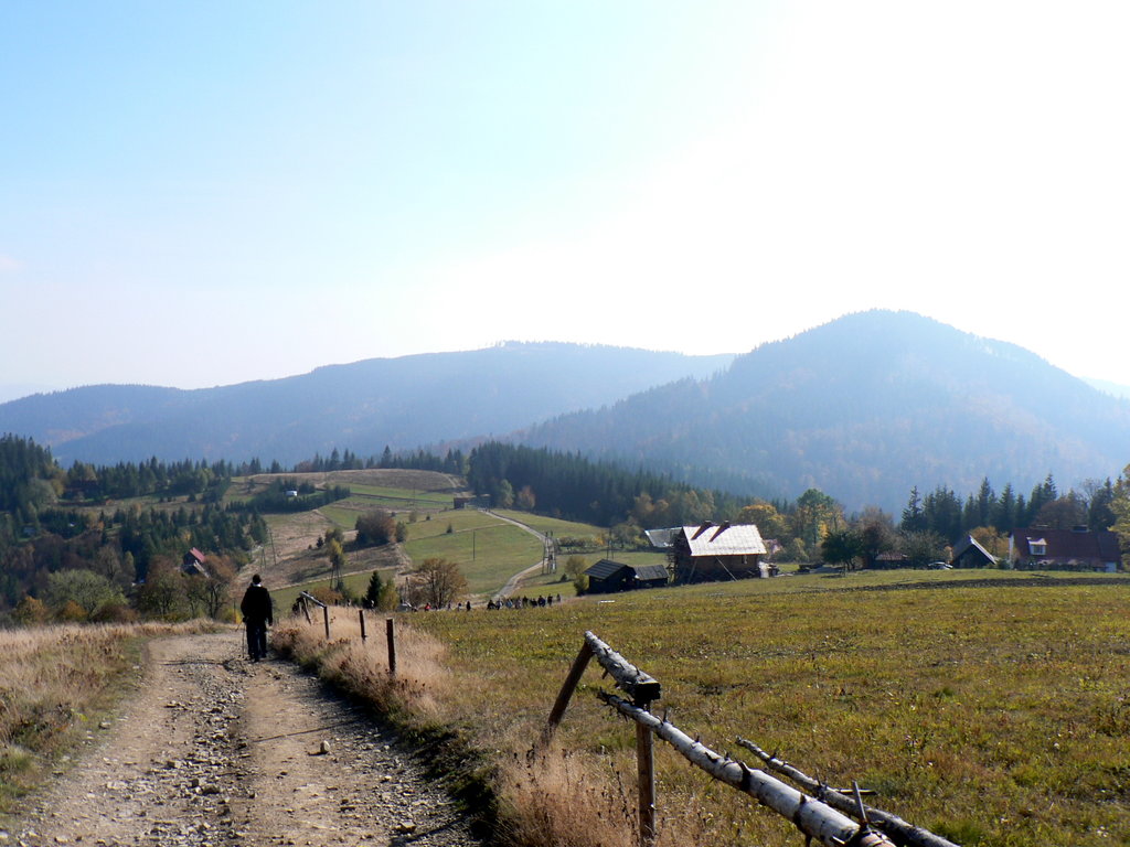
Stożek Wielki can be accessed by hiking trails from the nearby municipalities from both sides of the border. There is also a ski resort on the mountain, where skiers can reach using the chairlift.
Through a number of hiking routes it is possible to reach other summits such as Kubalonka, Czantoria Wielka, Soszów Wielki and towns, down into Wisła, Wisła-Głębce, Istebna, Jaworzynka and Jablunkov (Jabłonków).
The so-called Main Trail of the Beskids (Polish: Główny Szlak Beskidzki), the major hiking trail in the region, also crosses the top.
There's a trail leading to the summit. Stożek Wielki / Velký Stožek is one of the 1 peaks along the KCT blue: Návsí - Velký Stožek.
The nearest mountain hut is Schronisko PTTK na Stożku located 133m/436ft S of the summit.
By elevation Stożek Wielki / Velký Stožek is
# 15 out of 151 in powiat cieszyński # 87 out of 787 in Moravia-Silesia # 87 out of 787 in Moravskoslezský kraj # 28 out of 153 in Park Krajobrazowy Beskidu Śląskiego
By prominence Stożek Wielki / Velký Stožek is
# 62 out of 151 in powiat cieszyński # 60 out of 153 in Park Krajobrazowy Beskidu Śląskiego
We use GPS information embedded into the photo when it is available.
3D mountains overlay
Adjust mountain panorama to perfectly match your photos because recorded by camera photo position might be imprecise.
Move tool
Rotate tool
Zoom
More customization
Choose which peak labels should make into the final photo and what photo title should be.
Next
Photo Location
Satellitte
Flat map
Relief map
Latitude
Longitude
Altitude
OR
Latitude
°'''
Longitude
°'''
Apply
Register Peak
Peak Name
Latitude
Longitude
Altitude
Register
Teleport
PeakVisor
This 3D model of Sagarmatha National Park in Nepal was made using the PeakVisor app topographic data. The mobile app features higher precision models worldwide, more topographic details, and works offline. Download PeakVisor maps today.
Download OBJ model
PeakVisor
The download should start shortly. If you find it useful please consider supporting the PeakVisor app.
PeakVisor for iOS and Android
Be a superhero of outdoor navigation with state-of-the-art 3D maps and mountain identification in the palm of your hand!


-09_2005.jpg)