Get PeakVisor App
Sign In
Search by GPS coordinates
- Latitude
- ° ' ''
- Longitude
- ° ' ''
- Units of Length

Yes
Cancel
❤ Wishlist ×
Choose
Delete
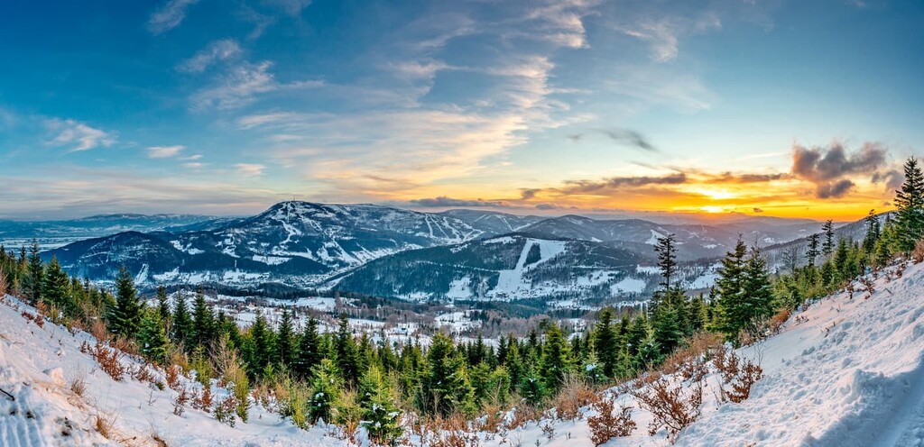
The Silesian Beskids Landscape Park (Polish: Park Krajobrazowy Beskidu Śląskiego), located in southern Poland, is a protected area that covers a significant portion of the Silesian Beskids mountain range, part of the Western Carpathians. The park was established in 1998 and spans over 38,000 hectares; it’s characterized by dense forests and rolling hills, peppered with quaint villages and crisscrossed by numerous hiking trails. There are 153 named mountains in the Silesian Beskids Landscape Park; the highest and the most prominent is Skrzyczne (1,257 m / 4,124 ft).
The Silesian Beskids Landscape Park is located in the Beskid Mountains, part of the Outer Western Carpathians. The Silesian Beskids Range lies in Poland and the eastern Moravian-Silesian Region of the Czech Republic. Most of this range is in Poland, separated from the Czech region by the Jablunkov Pass.
This park, known as Park Krajobrazowy Beskidu Śląskiego in Polish, is part of the Eastern Carpathians International Biosphere Reserve, which spans the borders of Poland, Slovakia, and the Czech Republic. The park is also part of the European Natura 2000 network.
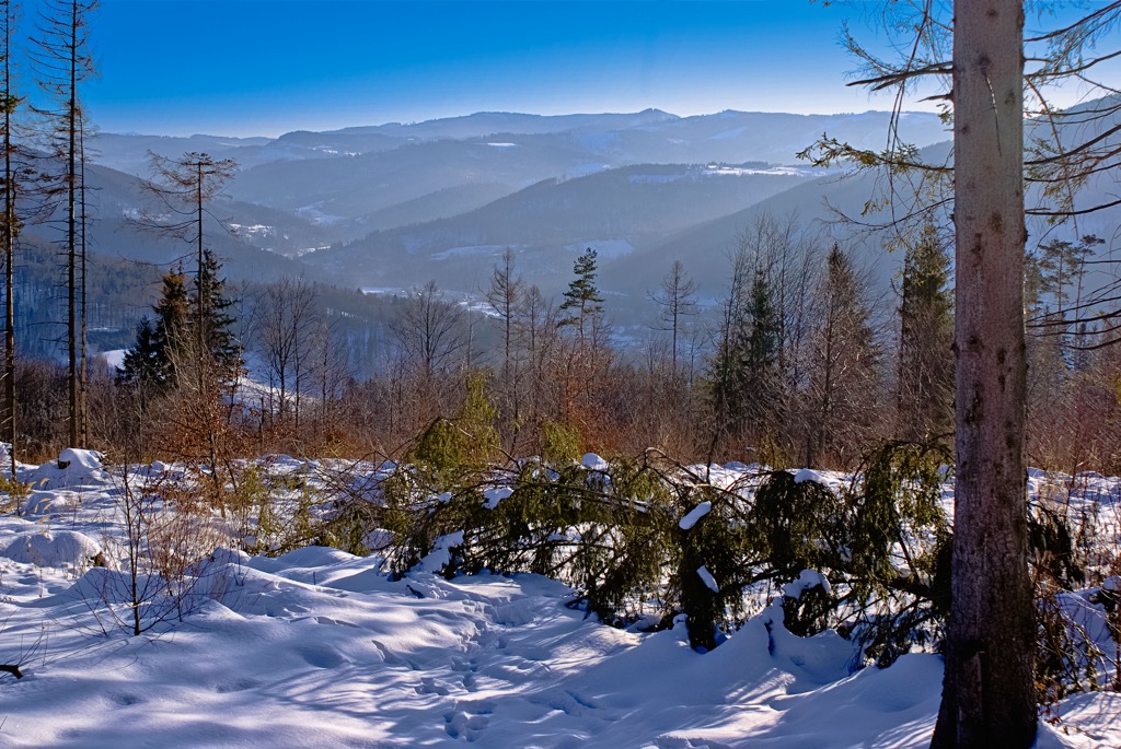
The protected area covers parts of several communes, including Bielsko-Biała, Brenna, Buczkowice, Goleszów, and Istebna. The park mainly comprises forested areas with rich flora and fauna.
The park’s highest peak is Skrzyczno, at 1,257 m (4,124 ft). The park spans 38,620 ha (149 sq. mi) and contains the sources of the Biała and Czarna Wisełka streams, which form the Vistula River.
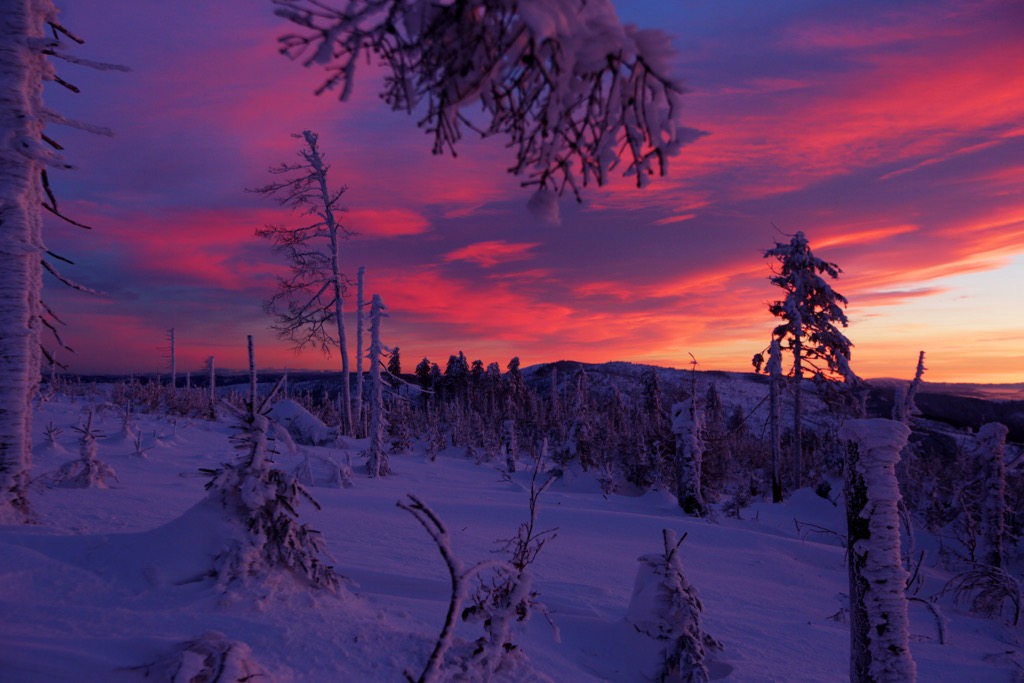
Silesian Beskids form part of the Western Beskids in the Outer Western Carpathians. The region was formed during the Alpine Orogeny in the Cenozoic era and is primarily composed of flysch deposits.
The park area boasts the highest concentration of caves in the Beskids, along with various rock formations such as towers, pulpits, and walls, many of which reach several meters in height.
Some of these caves are designated natural monuments, including the Trzech Kopce Cave, Wiślańska Cave (Poland's longest non-karst cave), and Mokra Cave. The park also serves as a water reservoir, with dams in Wisła Czarne and Bielsko-Biała Wapienica.
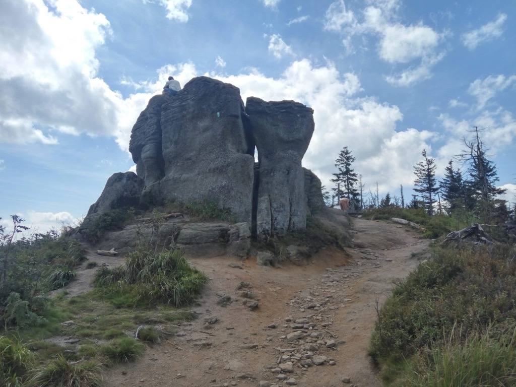
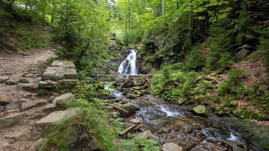
Initially, Silesian Beskids Landscape Park was covered by beech-fir-spruce forests, with spruce becoming more prevalent at higher altitudes. Over time, settlers converted much of the forested area into fields for agriculture.
The lower regions consist of agricultural fields, meadows, urban areas, and some riparian and oak-hornbeam forests. In the montane zone, beech forests with spruce, fir, and sycamore are characteristic. At higher elevations, there are high-mountain spruce forests, including the Istebnia spruce, known for its resilience and growth. Today, the forest landscape has changed due to human activity, with oak-hornbeam forests decreasing and fir-spruce and spruce forests expanding.
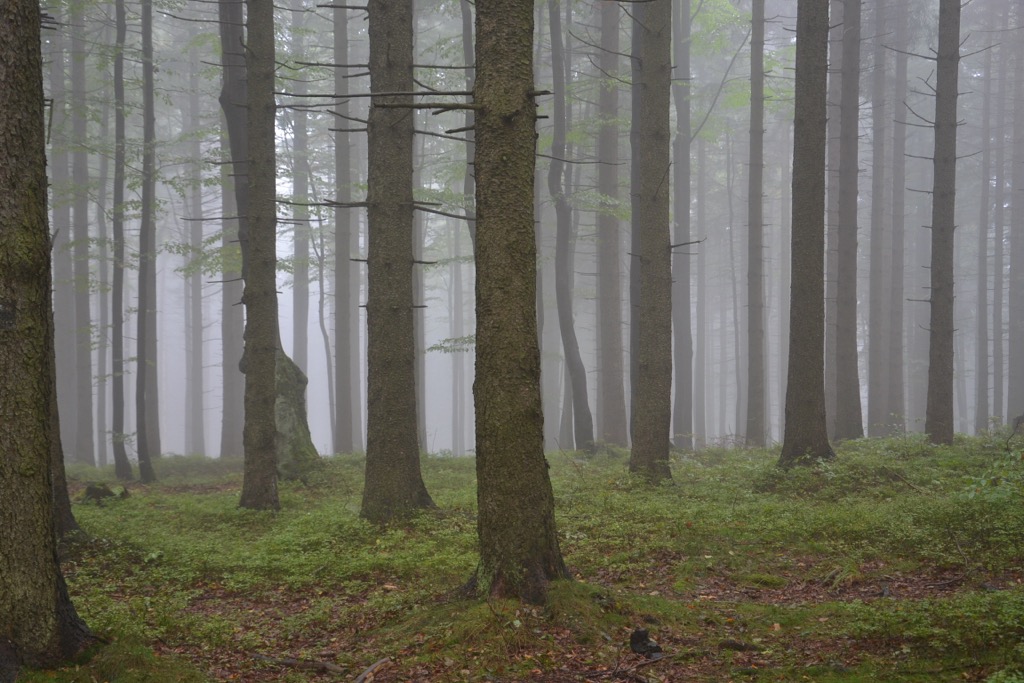
Approximately 35 mammal species inhabit the area, including deer, roe deer, wild boar, wolves, lynxes, foxes, and occasionally bears. Numerous bat species hibernate in caves, while bird species include capercaillies, hazel grouses, woodpeckers, thrushes, and birds of prey.
Reptiles such as lizards and snakes are present, along with 13 amphibian species. The park’s rarest species include the ring-necked thrush, mountain pipit, and Eurasian lynx.
Various areas within the park are protected as nature reserves, monuments, or ecological regions. Specific reserves, like the Dzielowy Forest and Góra Bucze, protect unique forest ecosystems.
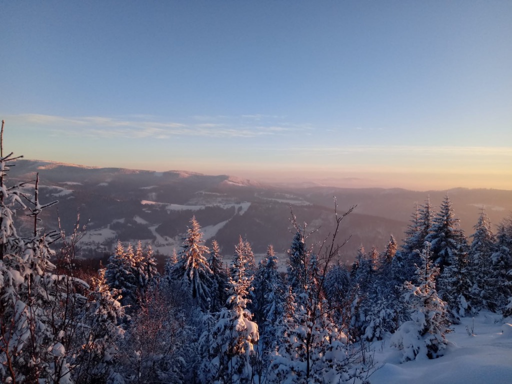
Medieval settlements within the Park trace back to the fourteenth century. From the formation of medieval borders of the Silesian duchies until 1918, the Silesian Beskids region remained consistently within the domain of the Duchy of Cieszyn, later known as Cieszyn Silesia, under Habsburg rule.
These borders remained fixed for centuries despite changes in rulers and national affiliations. Culturally, it served as the dividing line for ethnographic groups, setting apart the Silesian and Żywiec highlanders. Dialects, attire, traditional rituals, folklore, and architecture distinguish the two groups.
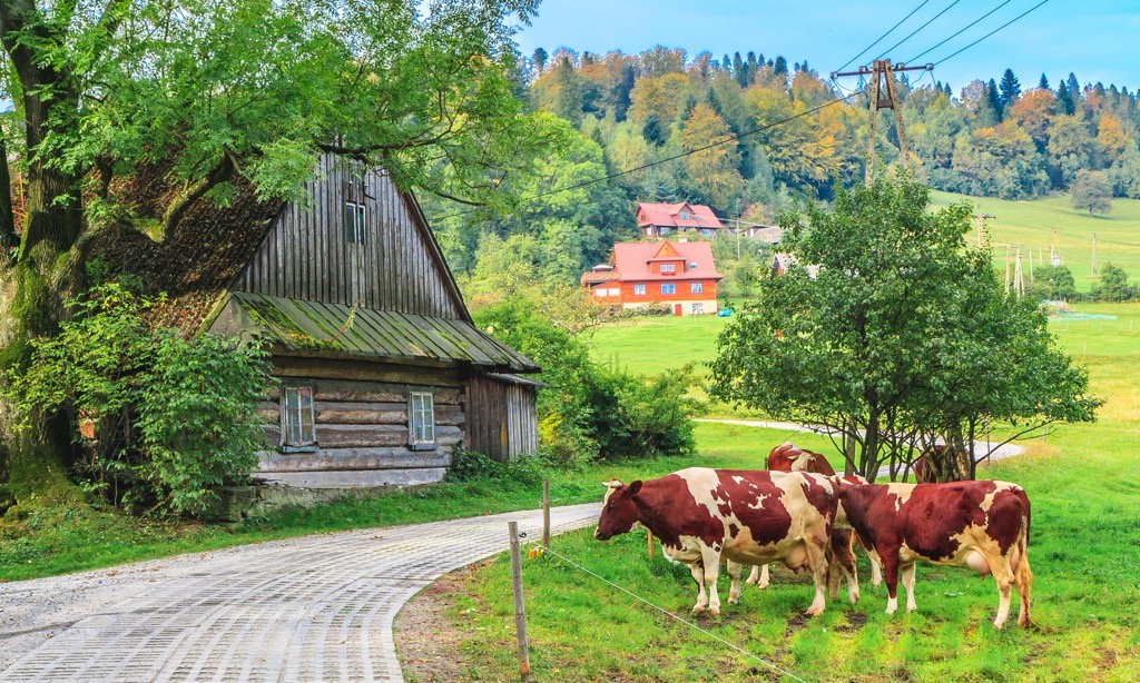
The landscape of villages is characterized by huts (sałas), historically used by shepherds during pasture in meadows and clearings. Sheep grazing and pastoral traditions have become cultural components.
Notable historic locations include Manor Park in Górki Wielkie, which dates back to the nineteenth century. The Silesian Beskids Landscape Park area is significantly developed for tourism, boasting an extensive network of trails, mountain huts, and ski resorts.
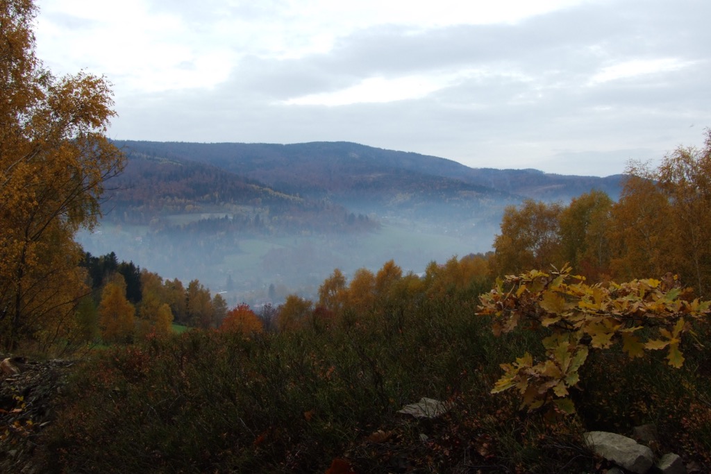
Stary Groń is an excellent spot to enjoy panoramic views of various landmarks, such as the Brennica Valley and local mountain ranges, along with the peaks of the Silesian-Morawski Beskids. Stary Groń (792 m / 2,598 ft) features a shepherd's hut beside a 12 m (39 ft) high observation tower. Nearby, visitors can find tables and benches.
Hikers can follow the green trail for approximately two hours to reach Stary Groń from the Brenna Centrum bus stops. The hike begins by heading towards the Tourism Park and continues alongside the ski lift.
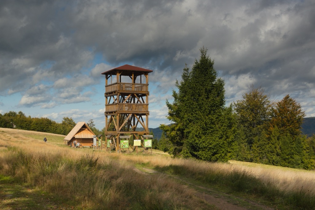
Hikers begin in Brenna Bukowa and conclude at the Karkoszczonka Pass, 723 m (2,372 ft) above sea level. Take the Brenna Bukowa—Karkoszczonka nature trail, marked with yellow trail signs, through the Pass. Along the way, informative boards introduce the diverse fauna and flora of the Beskids. The trail spans about 3 km (1.9 mi) and takes around an hour to complete.
Alternatively, to hike to Mount Klimczok (1,119 m / 3,671 ft), hikers should follow the red trail markers leading from the pass.
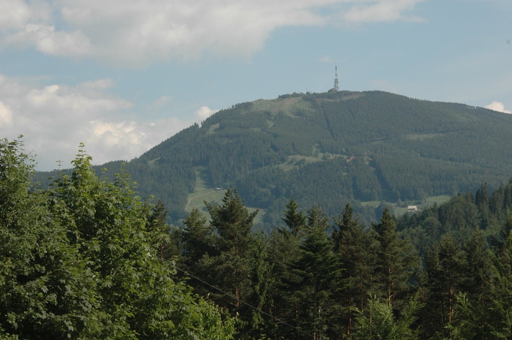
Skrzyczne is the highest and most striking peak in the Polish portion of the Silesian Beskids at 1,257 m (4,124 ft). It’s home to a ski resort in the winter and numerous hiking trails during summer. Visitors can spot it for long distances due to the massive communications tower atop the summit.
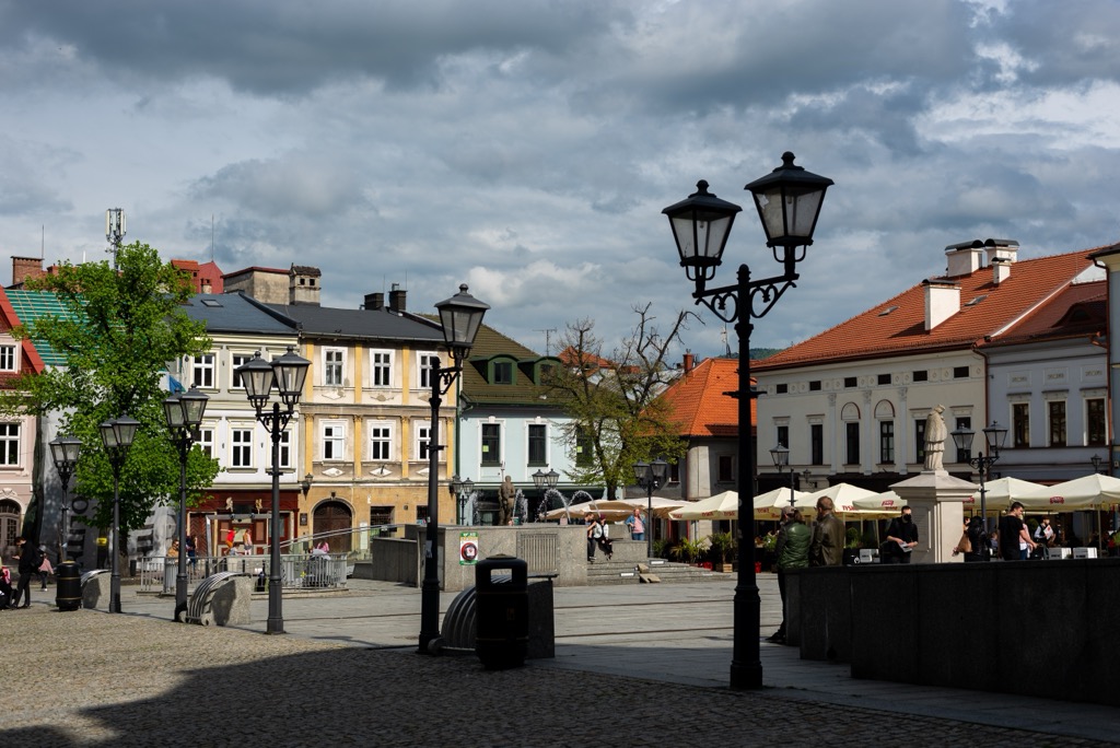
Bielsko-Biała lies in southern Poland and has a population of about 170,000. Nestled at the foothills of the Beskid Mountains, it offers a mix of nature and relatively low-key city life. It’s renowned for the Bielsko-Biała Museum and Castle.
Katowice, the heart of Poland's Silesian Metropolis, has a population of around 300,000. Known for its industrial past, it now promotes landmarks like the Spodek Arena and the Silesian Museum.
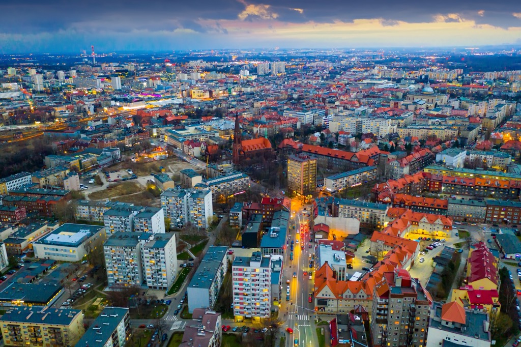
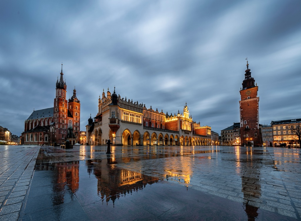
Krakow, one of Poland's oldest and most culturally significant cities, is located in the southern part of the country and is the closest major city to the Low Beskids, as well as the Tatra Mountains. Home to approximately 770,000 residents, it boasts a rich history dating back over a thousand years. It is known for its well-preserved medieval core, including the UNESCO-listed Krakow Old Town, St. Mary's Basilica, and Wawel Royal Castle.
Explore Silesian Beskids Landscape Park with the PeakVisor 3D Map and identify its summits.

