Available for connected Garmin and Suunto accounts.
Scan the QR code and open PeakVisor on your phone
St. Naum Peak map
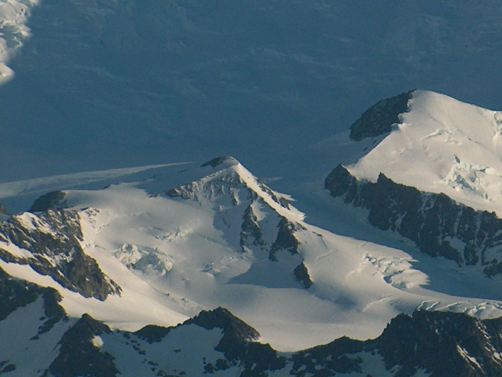
St. Naum Peak
L
Add photo
4 m
Elevation
Elevation is the altitude of a place above sea level.
Proportional Prominence0
About
St. Naum Peak (Bulgarian: връх Св. Наум, romanized: vrah Sv. Naum, IPA: [ˈvrɤx svɛˈti nɐˈum]) is a rocky peak of elevation 560 m in the east extremity of Peshev Ridge, Tangra Mountains, Livingston Island in the South Shetland Islands, Antarctica. Separated from Balchik Ridge and Silistra Knoll to the east by Starosel Gate, and surmounting Macy Glacier to the north and Boyana Glacier to the south.
The peak is named after the Bulgarian scholar St. Naum of Preslav and Ohrid (—910 AD), brother of St. Kliment Ohridski and student of St. Cyril and St. Methodius who worked under the auspices of Czar Boris I of Bulgaria both in Veliki Preslav and Devol.
We use GPS information embedded into the photo when it is available.
3D mountains overlay
Adjust mountain panorama to perfectly match your photos because recorded by camera photo position might be imprecise.
Move tool
Rotate tool
Zoom
More customization
Choose which peak labels should make into the final photo and what photo title should be.
Next
Photo Location
Satellitte
Flat map
Relief map
Latitude
Longitude
Altitude
OR
Latitude
°'''
Longitude
°'''
Apply
Register Peak
Peak Name
Latitude
Longitude
Altitude
Register
Teleport
PeakVisor
This 3D model of Sagarmatha National Park in Nepal was made using the PeakVisor app topographic data. The mobile app features higher precision models worldwide, more topographic details, and works offline. Download PeakVisor maps today.
Download OBJ model
PeakVisor
The download should start shortly. If you find it useful please consider supporting the PeakVisor app.
PeakVisor for iOS and Android
Be a superhero of outdoor navigation with state-of-the-art 3D maps and mountain identification in the palm of your hand!