Available for connected Garmin and Suunto accounts.
Scan the QR code and open PeakVisor on your phone
Mount Friesland map
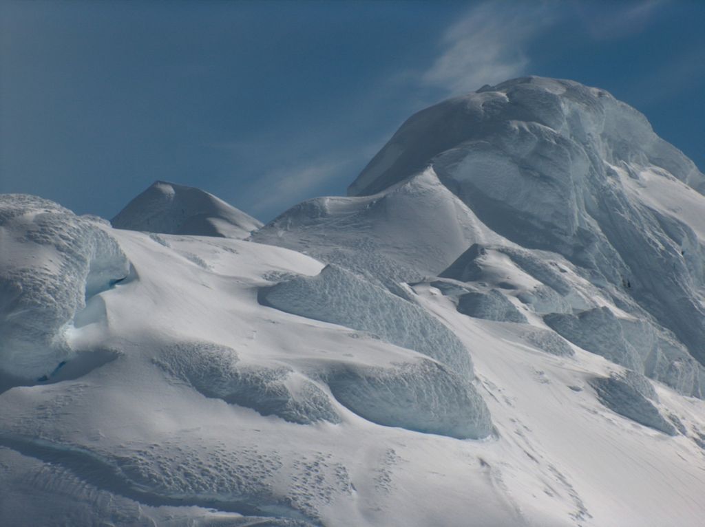
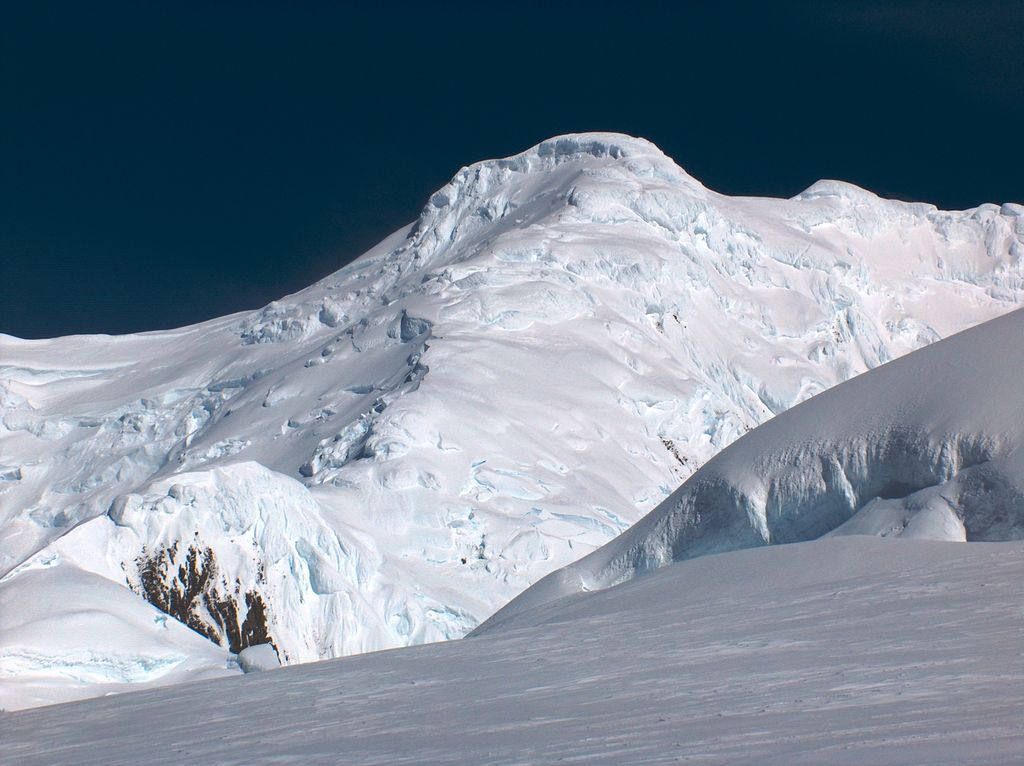
Mount Friesland
U
A
Add photo
4 m
Elevation
Elevation is the altitude of a place above sea level.
Proportional Prominence0
About
Mount Friesland is a mountain rising to 1,700.2 metres (5,578 ft) in the homonymous Friesland Ridge, one of the two summits of Tangra Mountains and Livingston Island in the South Shetland Islands, Antarctica along with neighbouring St. Boris Peak. Its north rib is connected to Pliska Ridge by Nesebar Gap on the west, and to Bowles Ridge by Wörner Gap on the north. On the east, Mount Friesland is connected to Presian Ridge and further on to Catalunyan Saddle and Lyaskovets Peak. On the south-southwest, it is connected by a short saddle to ‘The Synagogue’ a sharp-peaked rock-cored ice formation abutting St. Boris Peak. The peak is heavily glaciated and crevassed, surmounting Huntress Glacier to the west, Perunika Glacier to the north-northwest, Huron Glacier to the northeast and Macy Glacier to the southeast. The local weather is notoriously unpleasant and challenging; according to the seasoned Antarctic mountaineer Damien Gildea who climbed in the area, 'just about the worst weather in the world'.
We use GPS information embedded into the photo when it is available.
3D mountains overlay
Adjust mountain panorama to perfectly match your photos because recorded by camera photo position might be imprecise.
Move tool
Rotate tool
Zoom
More customization
Choose which peak labels should make into the final photo and what photo title should be.
Next
Photo Location
Satellitte
Flat map
Relief map
Latitude
Longitude
Altitude
OR
Latitude
°'''
Longitude
°'''
Apply
Register Peak
Peak Name
Latitude
Longitude
Altitude
Register
Teleport
PeakVisor
This 3D model of Sagarmatha National Park in Nepal was made using the PeakVisor app topographic data. The mobile app features higher precision models worldwide, more topographic details, and works offline. Download PeakVisor maps today.
Download OBJ model
PeakVisor
The download should start shortly. If you find it useful please consider supporting the PeakVisor app.
PeakVisor for iOS and Android
Be a superhero of outdoor navigation with state-of-the-art 3D maps and mountain identification in the palm of your hand!