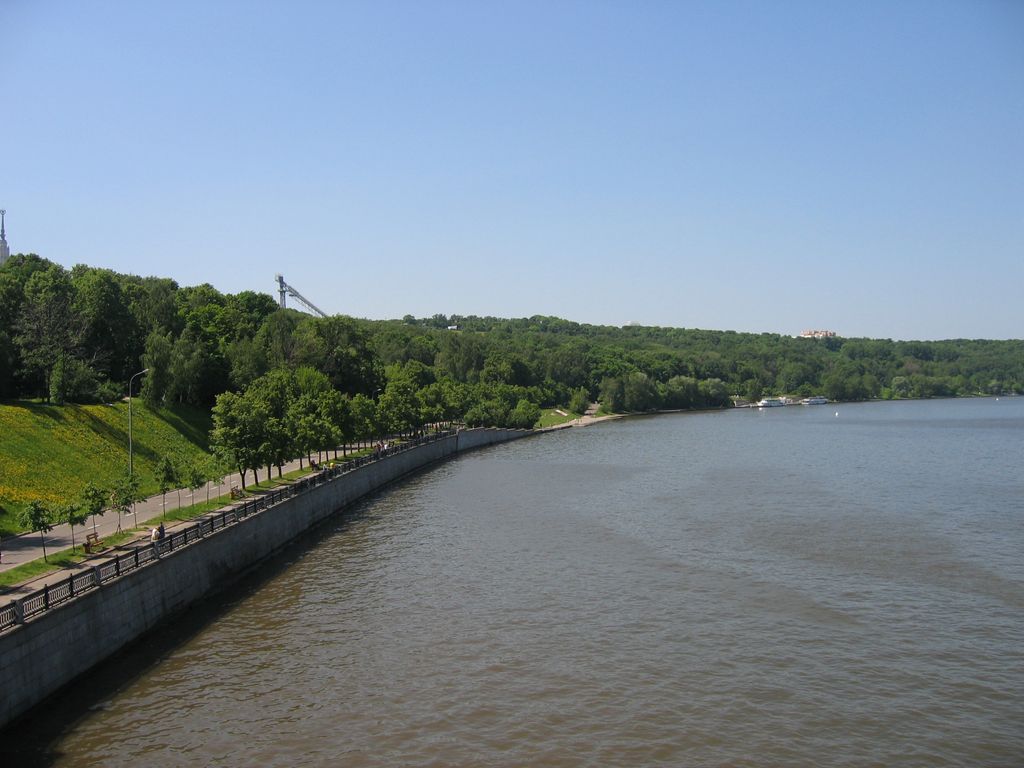
Sparrow Hills (Russian: Воробьёвы го́ры, Vorobyovy Gory), is a hill on the right bank of the Moskva River and one of the highest points in Moscow, reaching a height of 80 m (260 ft) above the river level.
The observation platform is on a steep bank 85 m (279 ft) above the river, or 200 m (660 ft) above sea level. The Central Lenin Stadium, where the opening and closing ceremonies for the 1980 Summer Olympics took place, is right below, across the Moskva River. Next to it is the Novodevichy Convent, with its Naryshkin Baroque towers.
Not far from the observation platform is the Luzhniki Metro Bridge. The two-level Metro-Bridge traverses the river to link Komsomolsky Prospekt with Vernadsky Prospekt. It serves two urban transport systems: motor vehicles and the Moscow Metro subway. The glass-walled subway station Vorobyovy Gory is at the lower level of the bridge.
The hills, immortalized by many Russian poets and writers, have been named after the village Vorobyovo, which was acquired by Grand Duchess Sophia of Lithuania, Vytautas' only daughter, from the boyars Vorobyovs in 1453. Alexander I of Russia wished to build the Cathedral of Christ the Saviour there; his successor had construction works suspended and the cathedral eventually was erected near the Kremlin.
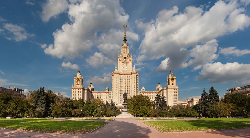
The main landmarks of the hills are the Moscow State University (at one time the tallest building in Europe) and the Trinity Church.
The Sparrow Hills were renamed Lenin Hills (Ле́нинские го́ры, Leninskiye Gory) in 1935 after Vladimir Lenin. The historic name was restored in 1999.
We use GPS information embedded into the photo when it is available.
3D mountains overlay
Adjust mountain panorama to perfectly match your photos because recorded by camera photo position might be imprecise.
Move tool
Rotate tool
Zoom
More customization
Choose which peak labels should make into the final photo and what photo title should be.
Next
Photo Location
Satellitte
Flat map
Relief map
Latitude
Longitude
Altitude
OR
Latitude
°'''
Longitude
°'''
Apply
Register Peak
Peak Name
Latitude
Longitude
Altitude
Register
Teleport
PeakVisor
This 3D model of Sagarmatha National Park in Nepal was made using the PeakVisor app topographic data. The mobile app features higher precision models worldwide, more topographic details, and works offline. Download PeakVisor maps today.
Download OBJ model
PeakVisor
The download should start shortly. If you find it useful please consider supporting the PeakVisor app.
PeakVisor for iOS and Android
Be a superhero of outdoor navigation with state-of-the-art 3D maps and mountain identification in the palm of your hand!