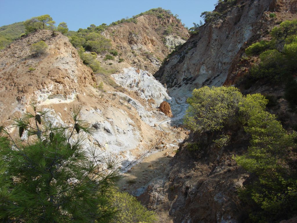
Sousaki (Greek: Σουσάκι; Modern Greek pronunciation: [suˈsaci]) is a dormant volcano and modern solfatara field in northeastern Corinthia, Greece, at the northwest end of the South Aegean Volcanic Arc.
The volcano was active during the Pliocene and early Quaternary periods of the Earth's geological history. There is still significant solfataric activity at this location. The volcano erupted dacite lava. The geothermal system releases about 1 megagram per day of gases at 42 °C, 90% CO2 and < 1% each of CH4 and H2S. The earthquakes of 1997 of 3-4 R had as a result the uprising magma in higher areas of the earth crust. So future activities are possible.
The last eruption of this volcano was a side eruption which created new land in the Gulf of Megara, where there are major port and refinery facilities.
We use GPS information embedded into the photo when it is available.
3D mountains overlay
Adjust mountain panorama to perfectly match your photos because recorded by camera photo position might be imprecise.
Move tool
Rotate tool
Zoom
More customization
Choose which peak labels should make into the final photo and what photo title should be.
Next
Photo Location
Satellitte
Flat map
Relief map
Latitude
Longitude
Altitude
OR
Latitude
°'''
Longitude
°'''
Apply
Register Peak
Peak Name
Latitude
Longitude
Altitude
Register
Teleport
PeakVisor
This 3D model of Sagarmatha National Park in Nepal was made using the PeakVisor app topographic data. The mobile app features higher precision models worldwide, more topographic details, and works offline. Download PeakVisor maps today.
Download OBJ model
PeakVisor
The download should start shortly. If you find it useful please consider supporting the PeakVisor app.
PeakVisor for iOS and Android
Be a superhero of outdoor navigation with state-of-the-art 3D maps and mountain identification in the palm of your hand!