Mount Saint Mary (Slovene: Šmarna gora, German: Großkahlenberg), originally known as Holm, is an inselberg in the north of Ljubljana, the capital of Slovenia. The mountain is part of the city's Šmarna Gora District. It is the highest hill in the city and a popular hiking destination.
The two-peaked mountain resembles the humps of a Bactrian camel or woman's breasts, and it has two peaks: Mount Saint Mary (Šmarna gora; 669 metres, 2,195 ft) to the east and Grmada (676 m, 2,218 ft) to the west.
The toponym contains the archaic contraction Šmarna for Sveta Marijina 'St. Mary's'. The name of the western peak, Grmada, literally means 'heap, pile (of wood for a bonfire)'. The slightly lower eastern peak lends its name to the mountain as a whole.
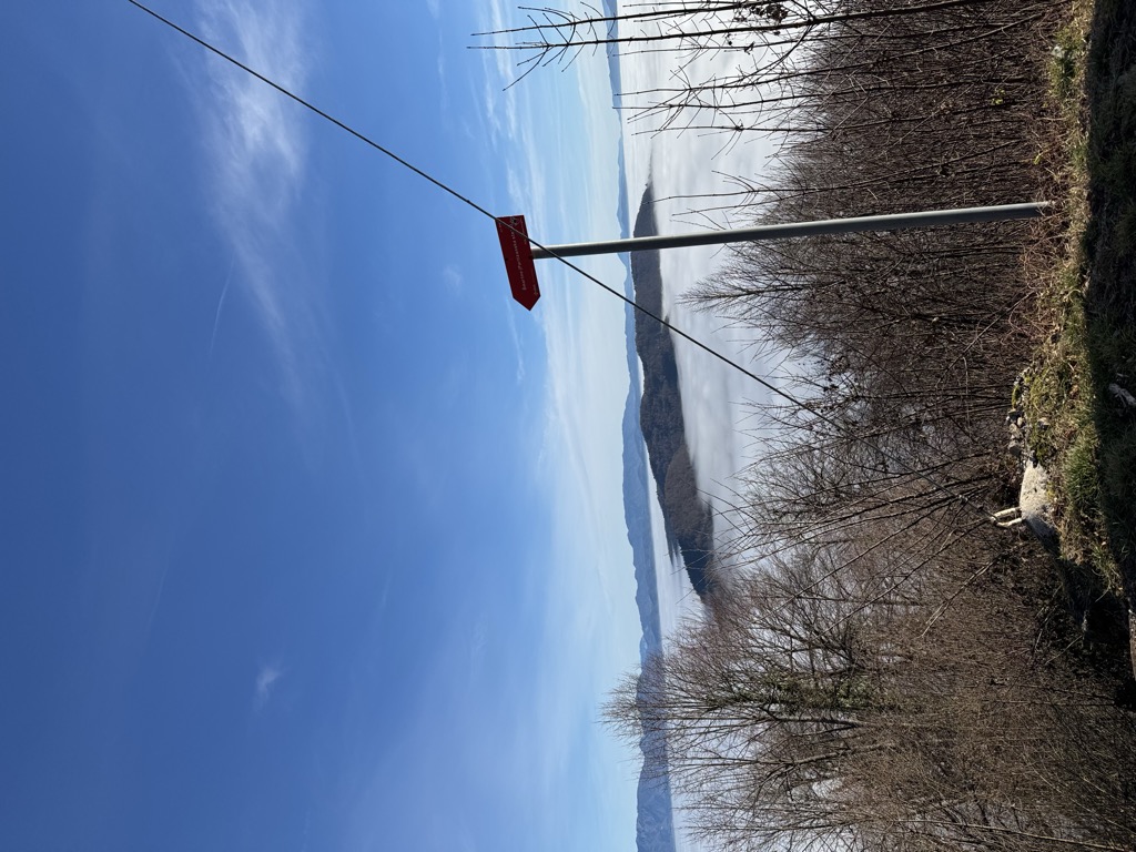
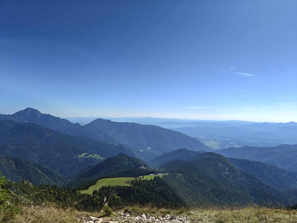
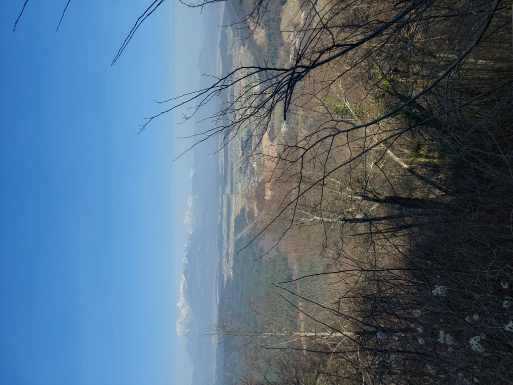
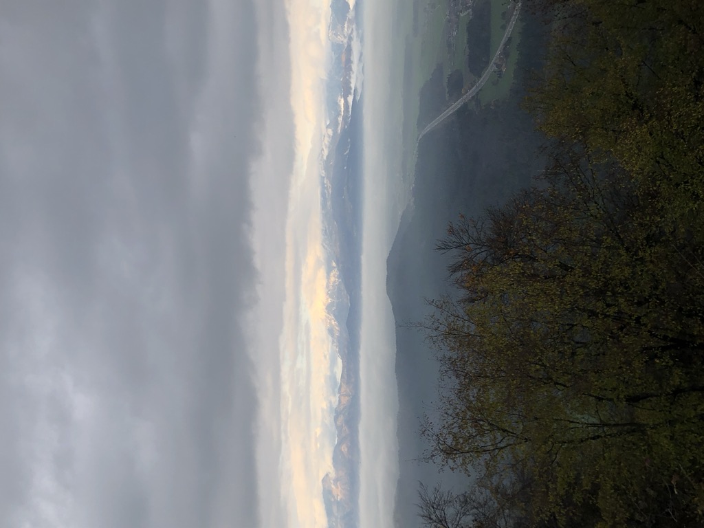
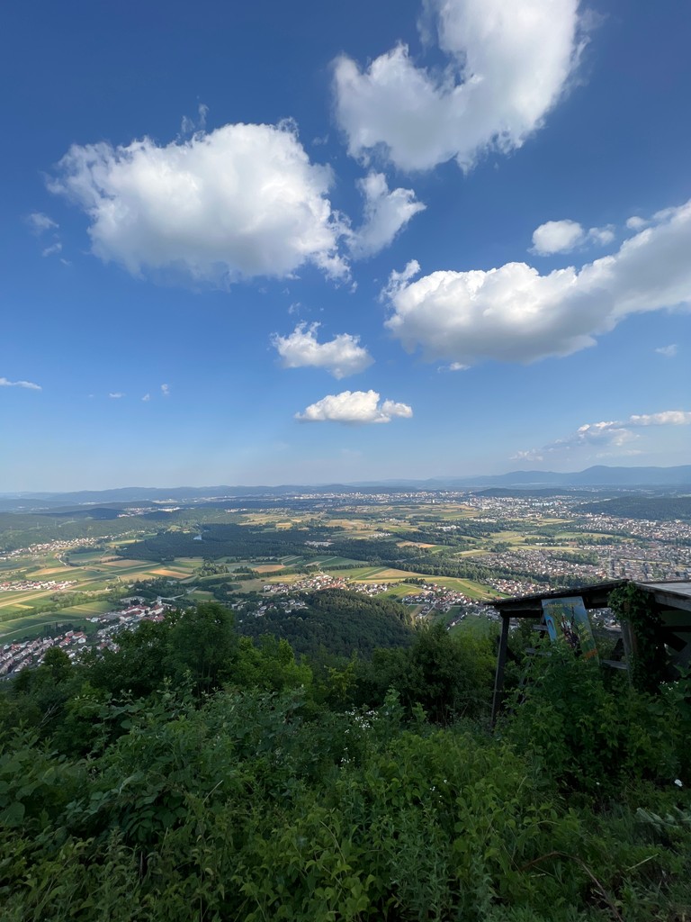
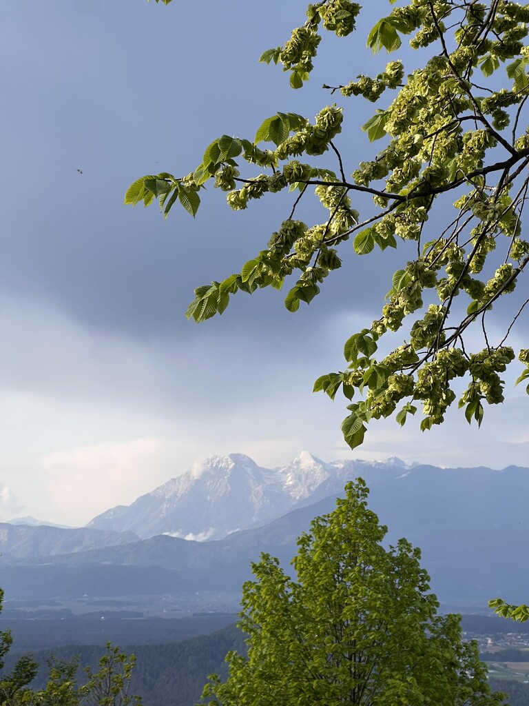
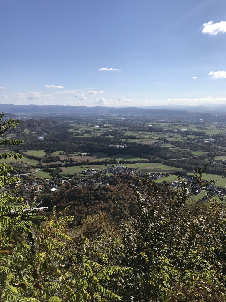
In clear conditions, the mountain offers a view across much of Slovenia, from Mount Triglav and Mount Stol on the northeastern Austrian–Italian border to Mount Krim, Mount Snežnik, and Trdina Peak (Slovene: Trdinov vrh) on the Croatian border to the southwest. Nearby hills include Bare Hill (Golo brdo), Tošč Face (Toško čelo), Rožnik, and Rašica.
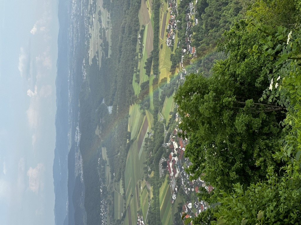
The hill is surrounded by the villages of Vikrče and Spodnje Pirniče to the west, Zavrh pod Šmarno Goro to the north, and the former villages (now part of Ljubljana) of Šmartno pod Šmarno Goro and Tacen to the southeast.
The southern slope of the mountain is wooded with downy oak and hop hornbeam, while the northern slope is covered by a beech forest.
The bell tower on the top of the mountain rings each day half an hour before midday.
We use GPS information embedded into the photo when it is available.
3D mountains overlay
Adjust mountain panorama to perfectly match your photos because recorded by camera photo position might be imprecise.
Move tool
Rotate tool
Zoom
More customization
Choose which peak labels should make into the final photo and what photo title should be.
Next
Photo Location
Satellitte
Flat map
Relief map
Latitude
Longitude
Altitude
OR
Latitude
°'''
Longitude
°'''
Apply
Register Peak
Peak Name
Latitude
Longitude
Altitude
Register
Teleport
PeakVisor
This 3D model of Sagarmatha National Park in Nepal was made using the PeakVisor app topographic data. The mobile app features higher precision models worldwide, more topographic details, and works offline. Download PeakVisor maps today.
Download OBJ model
PeakVisor
The download should start shortly. If you find it useful please consider supporting the PeakVisor app.
PeakVisor for iOS and Android
Be a superhero of outdoor navigation with state-of-the-art 3D maps and mountain identification in the palm of your hand!


_(3897559690).jpg)


