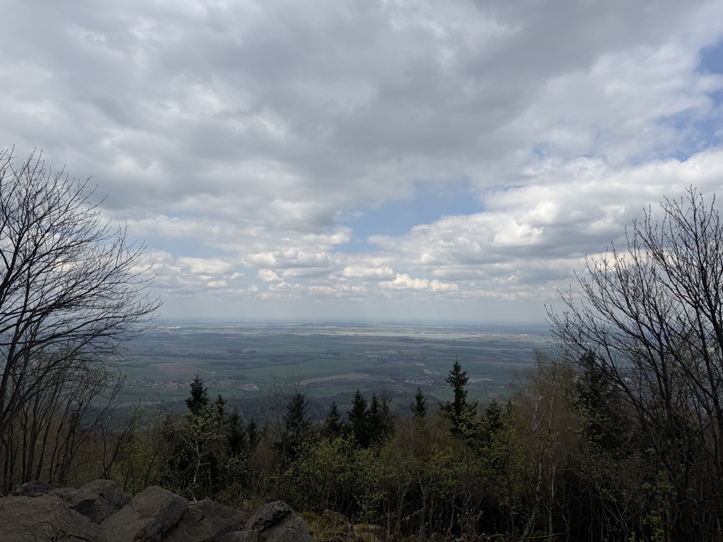
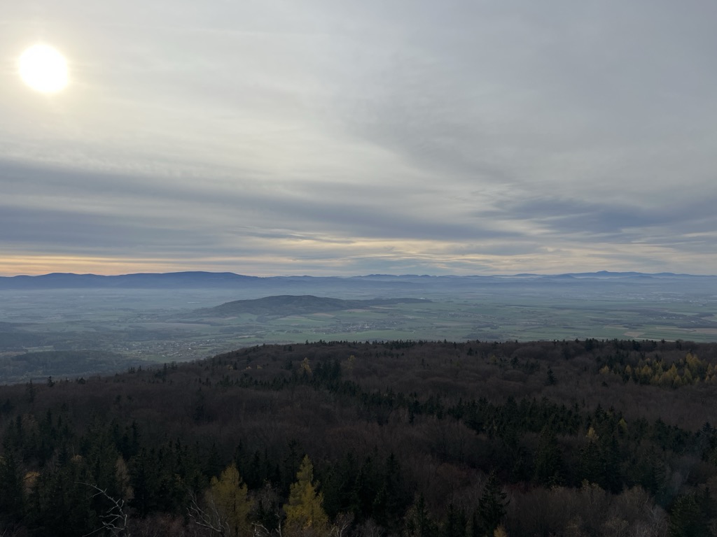
The Ślęża (Polish: [ˈɕlɛ̃ʐa]; German: Zobten or Zobtenberg, later also Siling) is a 718 m (2,356 ft) high mountain in the Sudeten Foreland in Poland. The mountain is built mostly of granite and is covered with forests.
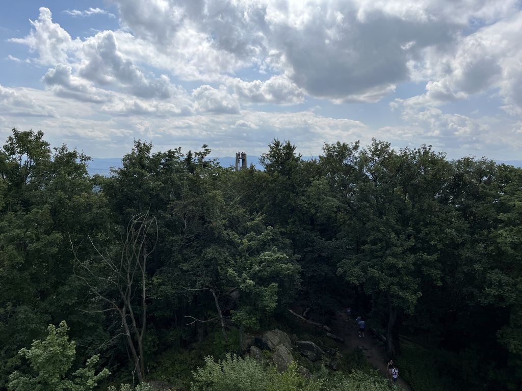
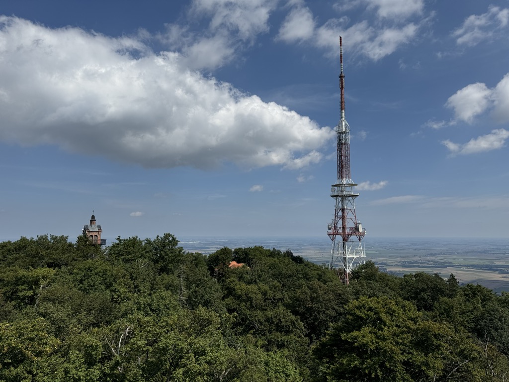
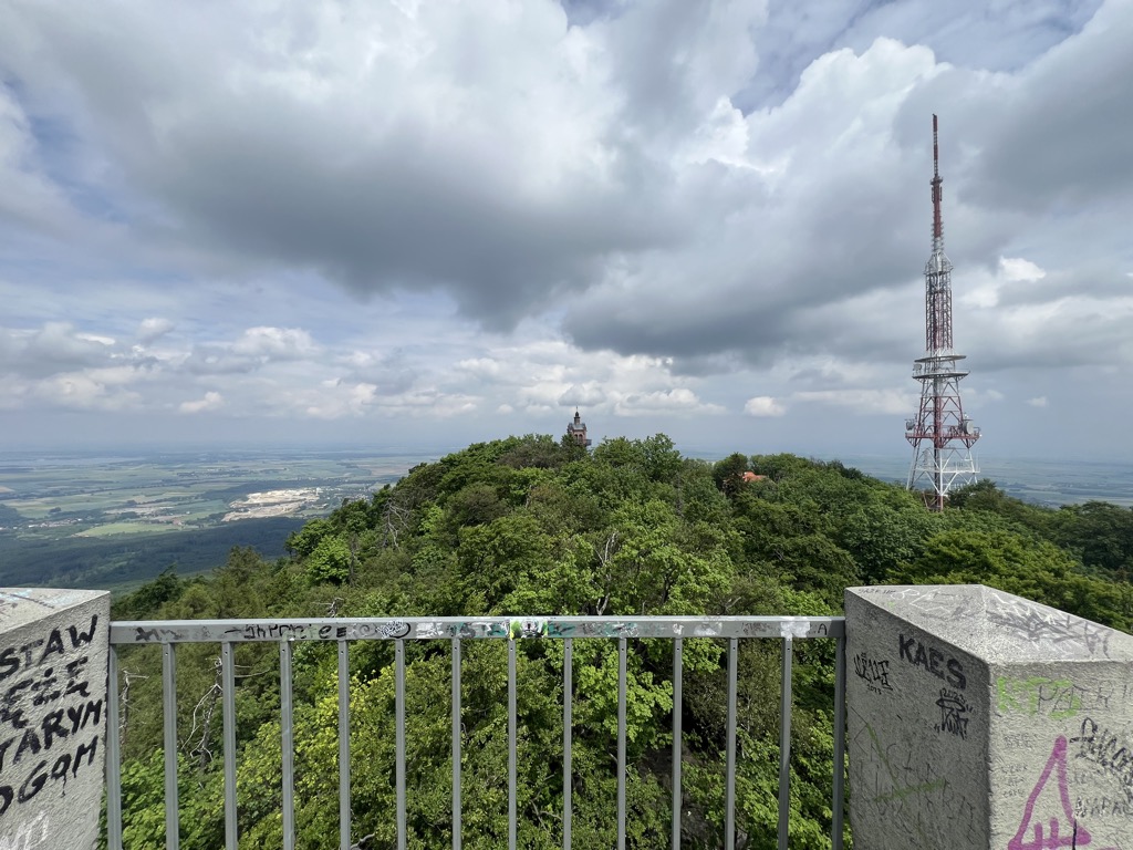
The top of the mountain has a PTTK tourist mountain hut, a television and radio mast, the Church of the Visitation of the Blessed Virgin Mary, some poorly-visible ruins of the castle and an observation tower. The area of the peak is protected as the Góra Ślęża nature reserve. The wide area around the mountain forms the Ślęża Landscape Park protected area.
There's a hiking trail (T1) leading to the summit. Ślęża is one of the 3 peaks along the Strzeblów - Jordanów Śląski.
The nearest mountain hut is Dom Turysty PTTK na Ślęży im. R Zmorskiego located 175m/573ft ENE of the summit.
By elevation Ślęża is
# 1 out of 5 in Rezerwat Góra Ślęża # 1 out of 29 in Masyw Ślęży # 1 out of 105 in powiat wrocławski # 1 out of 35 in Ślężański Park Krajobrazowy
By prominence Ślęża is
# 1 out of 5 in Rezerwat Góra Ślęża # 1 out of 29 in Masyw Ślęży # 4 out of 3631 in Lower Silesian Voivodeship # 1 out of 105 in powiat wrocławski # 1 out of 35 in Ślężański Park Krajobrazowy # 12 out of 19162 in Poland # 18 out of 23540 in the Bohemian Ranges
We use GPS information embedded into the photo when it is available.
3D mountains overlay
Adjust mountain panorama to perfectly match your photos because recorded by camera photo position might be imprecise.
Move tool
Rotate tool
Zoom
More customization
Choose which peak labels should make into the final photo and what photo title should be.
Next
Photo Location
Satellitte
Flat map
Relief map
Latitude
Longitude
Altitude
OR
Latitude
°'''
Longitude
°'''
Apply
Register Peak
Peak Name
Latitude
Longitude
Altitude
Register
Teleport
PeakVisor
This 3D model of Sagarmatha National Park in Nepal was made using the PeakVisor app topographic data. The mobile app features higher precision models worldwide, more topographic details, and works offline. Download PeakVisor maps today.
Download OBJ model
PeakVisor
The download should start shortly. If you find it useful please consider supporting the PeakVisor app.
PeakVisor for iOS and Android
Be a superhero of outdoor navigation with state-of-the-art 3D maps and mountain identification in the palm of your hand!