The Schwarzer Brink is a hill in the Egge, a side ridge of the Wiehen Hills in North Germany. It is 211 metres high and is often cited as the highest hill in the Egge. At the same time there is in the immediate vicinity, around a kilometre southwest of the hill, north of Büscherheide an arable area, that is somewhat higher, but does not bear its own name. Because that field lies 200 metres west of the state border with North Rhine-Westphalia, and thus on the territory of Bad Essen, the Schwarzer Brink not even the highest point in its own municipality.
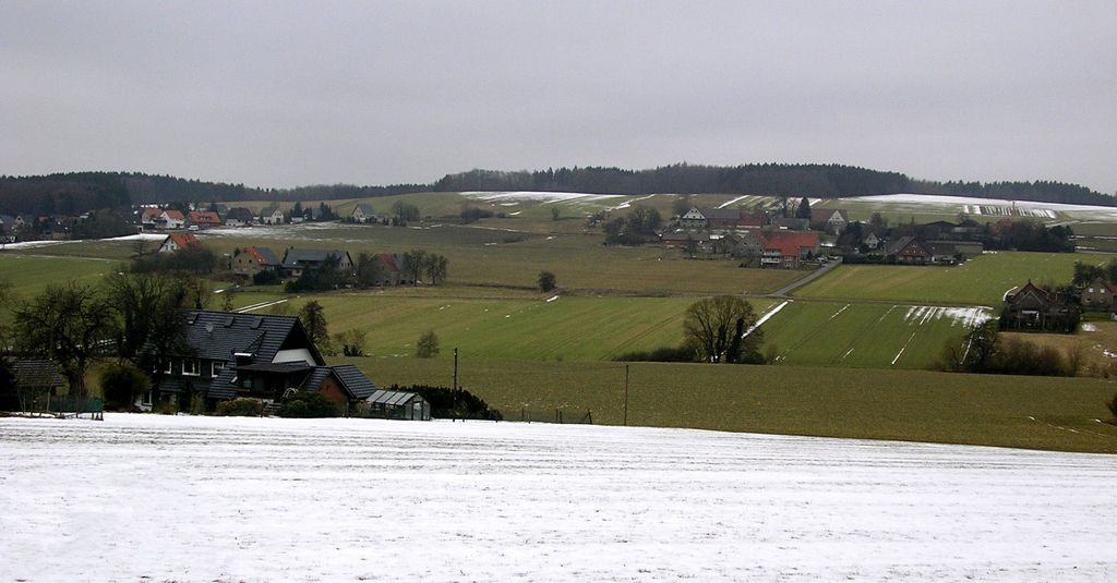
Around 500 metres north of the Schwarzer Brink is the Hartmann Hut.
The nearest mountain hut is Hartmann Hütte located 277m/908ft N of the summit.
We use GPS information embedded into the photo when it is available.
3D mountains overlay
Adjust mountain panorama to perfectly match your photos because recorded by camera photo position might be imprecise.
Move tool
Rotate tool
Zoom
More customization
Choose which peak labels should make into the final photo and what photo title should be.
Next
Photo Location
Satellitte
Flat map
Relief map
Latitude
Longitude
Altitude
OR
Latitude
°'''
Longitude
°'''
Apply
Register Peak
Peak Name
Latitude
Longitude
Altitude
Register
Teleport
PeakVisor
This 3D model of Sagarmatha National Park in Nepal was made using the PeakVisor app topographic data. The mobile app features higher precision models worldwide, more topographic details, and works offline. Download PeakVisor maps today.
Download OBJ model
PeakVisor
The download should start shortly. If you find it useful please consider supporting the PeakVisor app.
PeakVisor for iOS and Android
Be a superhero of outdoor navigation with state-of-the-art 3D maps and mountain identification in the palm of your hand!