The Central Skåne Volcanic Province was a site of volcanic activity in the Scania region of Sweden during the Mesozoic Era of the Earth's geological history. The volcanism began with a first and main phase in late Sinemurian to Toarcian times around 191 to 178 Ma. Then volcanism continued sporadically for another 80 million years. More than one hundred volcanic necks of basaltic composition exist in Scania evidencing this volcanism. In central Scania, volcanism was in the form of a volcanic field of cinder cones that had Strombolian eruption styles. These cones produced tuffite deposits made largely of lapilli with rare volcanic bombs. Pyroclastic materials were subsequently palagonitized or largely altered to clay minerals. While eruptions occurred on land the sea was likely very close to the area. Besides purely pyroclastic sediments, lahar deposits have also been identified around the remnants of the volcanoes.
Beneath a lahar deposit at Korsaröd (Djupadal Formation), Early Jurassic plant fossils including wood, pollen and spores have been exceptionally well preserved. The degree of preservation is such that cell-scale features like organelles and chromosomes have been identified in the fossils. At this location plants grew in a substrate with extensive hydrothermal alteration.
The volcanism is possibly the result of decompression melting of the lithospheric mantle beneath. The volcanism is linked to a rift flank fault along the Sorgenfrei–Tornquist Zone, which is a failed rift associated with extension in the North Sea and the opening of the North Atlantic. The background to the volcanism is the break-up of Pangea, and thus it is analogous to the much more voluminous Karoo-Ferrar flood basalts of Southern Africa.
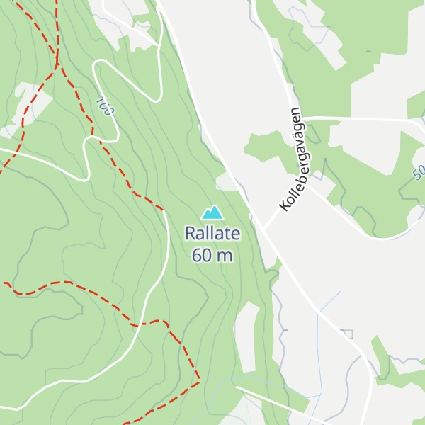
There's a trail leading to the summit.
By elevation Rallate is
# 55 out of 64 in Skåne County # 1 out of 1 in Söderåsen
By prominence Rallate is
# 52 out of 64 in Skåne County # 1 out of 1 in Söderåsen
We use GPS information embedded into the photo when it is available.
3D mountains overlay
Adjust mountain panorama to perfectly match your photos because recorded by camera photo position might be imprecise.
Move tool
Rotate tool
Zoom
More customization
Choose which peak labels should make into the final photo and what photo title should be.
Next
Photo Location
Satellitte
Flat map
Relief map
Latitude
Longitude
Altitude
OR
Latitude
°'''
Longitude
°'''
Apply
Register Peak
Peak Name
Latitude
Longitude
Altitude
Register
Teleport
PeakVisor
This 3D model of Sagarmatha National Park in Nepal was made using the PeakVisor app topographic data. The mobile app features higher precision models worldwide, more topographic details, and works offline. Download PeakVisor maps today.
Download OBJ model
PeakVisor
The download should start shortly. If you find it useful please consider supporting the PeakVisor app.
PeakVisor for iOS and Android
Be a superhero of outdoor navigation with state-of-the-art 3D maps and mountain identification in the palm of your hand!