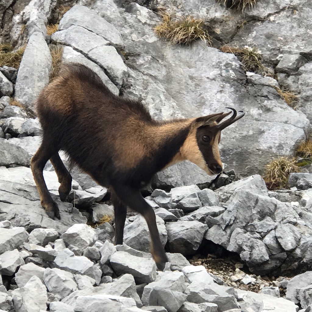
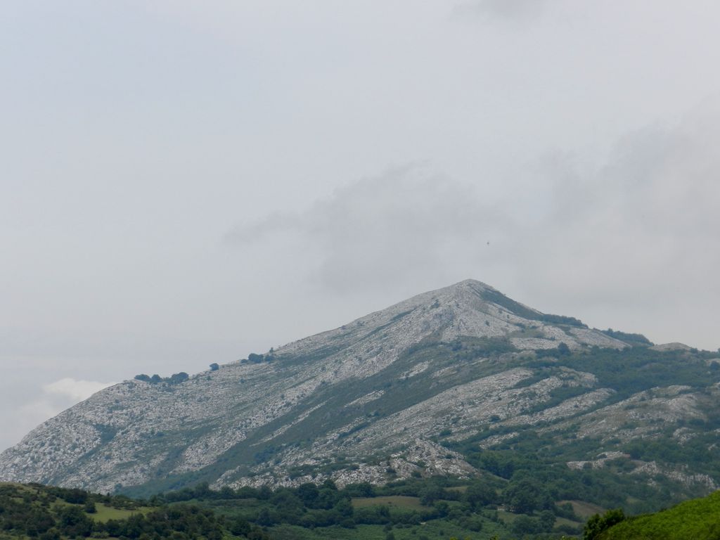
Caldoveiro Peak (Picu Caldoveiro) is a protected mountain range in Asturias, Northern Spain, with a maximum peak of 1,357 meters, near the village of Villabre. It spans the parishes of Yernes, Proaza, Tameza, Grau (Grado), and Teberga (Teverga). Minerals found in Caldoveiro mines include Fluorite, Calcite, and Quartz. The Asturian administration uses Caldoveiro Peak in its tourism advertising, describing the mountain range as so:
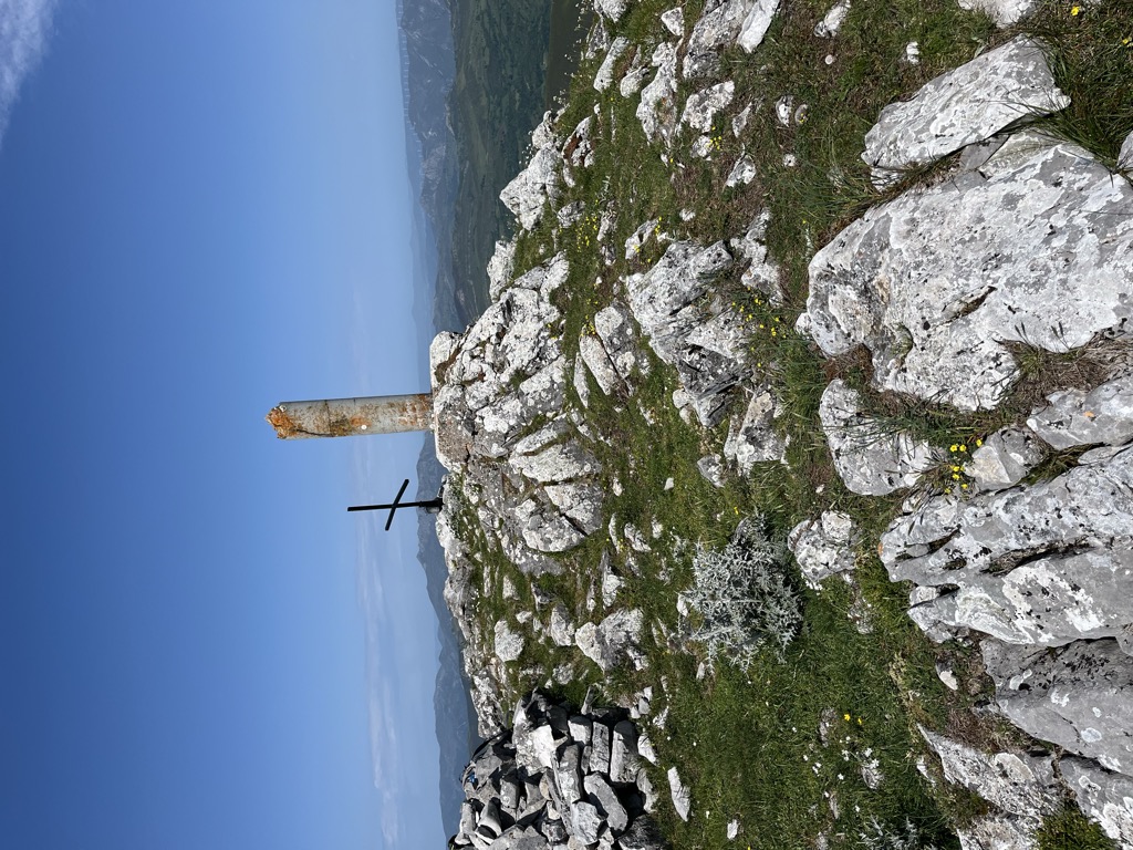
The varied vegetation of this nature area and the different processes of erosion that sculpt contrasting terrain form a picturesque landscape dotted with small mountain lakes and high pastures with stone huts known as corros.
We use GPS information embedded into the photo when it is available.
3D mountains overlay
Adjust mountain panorama to perfectly match your photos because recorded by camera photo position might be imprecise.
Move tool
Rotate tool
Zoom
More customization
Choose which peak labels should make into the final photo and what photo title should be.
Next
Photo Location
Satellitte
Flat map
Relief map
Latitude
Longitude
Altitude
OR
Latitude
°'''
Longitude
°'''
Apply
Register Peak
Peak Name
Latitude
Longitude
Altitude
Register
Teleport
PeakVisor
This 3D model of Sagarmatha National Park in Nepal was made using the PeakVisor app topographic data. The mobile app features higher precision models worldwide, more topographic details, and works offline. Download PeakVisor maps today.
Download OBJ model
PeakVisor
The download should start shortly. If you find it useful please consider supporting the PeakVisor app.
PeakVisor for iOS and Android
Be a superhero of outdoor navigation with state-of-the-art 3D maps and mountain identification in the palm of your hand!


.jpg)


