Mount Phou Si, also written Mount Phu Si, is a 100 m (328 ft) high hill in the centre of the old town of Luang Prabang in Laos. It lies in the heart of the old town peninsula and is bordered on one side by the Mekong River and on the other side by the Nam Khan River. The hill is a local religious site, and houses several Buddhist shrines.
Halfway up the hill, overlooking the Nam Khan is Wat Tham Phou Si, a Buddhist temple. At the summit of the hill, overlooking the town and surrounding countryside, is Wat Chom Si, which is also a Buddhist temple and is a tourist highlight of Luang Prabang.
Entrance to Phou Si is 20,000 Kip as of July 2018.
We use GPS information embedded into the photo when it is available.
3D mountains overlay
Adjust mountain panorama to perfectly match your photos because recorded by camera photo position might be imprecise.
Move tool
Rotate tool
Zoom
More customization
Choose which peak labels should make into the final photo and what photo title should be.
Next
Photo Location
Satellitte
Flat map
Relief map
Latitude
Longitude
Altitude
OR
Latitude
°'''
Longitude
°'''
Apply
Register Peak
Peak Name
Latitude
Longitude
Altitude
Register
Teleport
PeakVisor
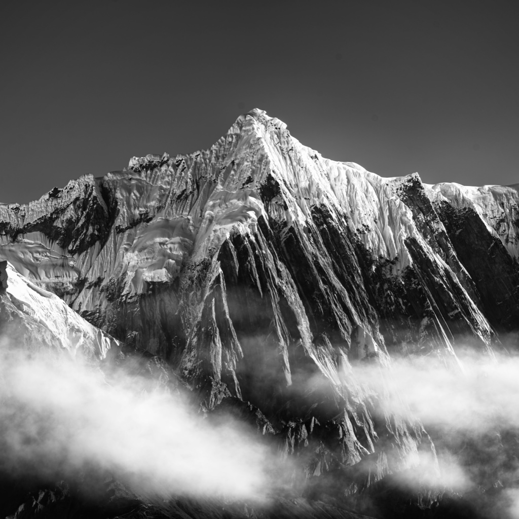
This 3D model of Sagarmatha National Park in Nepal was made using the PeakVisor app topographic data. The mobile app features higher precision models worldwide, more topographic details, and works offline. Download PeakVisor maps today.
Download OBJ model
PeakVisor
The download should start shortly. If you find it useful please consider supporting the PeakVisor app.
PeakVisor for iOS and Android
Be a superhero of outdoor navigation with state-of-the-art 3D maps and mountain identification in the palm of your hand!