Altitude: 1236m; Proeminência: 375m; Dominância: 30,4%; Isolamento: 2,44Km; Dif. Abertura Topo.: 35°. 35ª proem. de PT continental; 3ª Braga (distr.); 2ª Terras de Bouro (conc.). 136ª elevação entre os cumes c/ proem. >= 40m.
There's a trail leading to the summit. Pé de Cabril is one of the 1 peaks along the PE de Cabril.
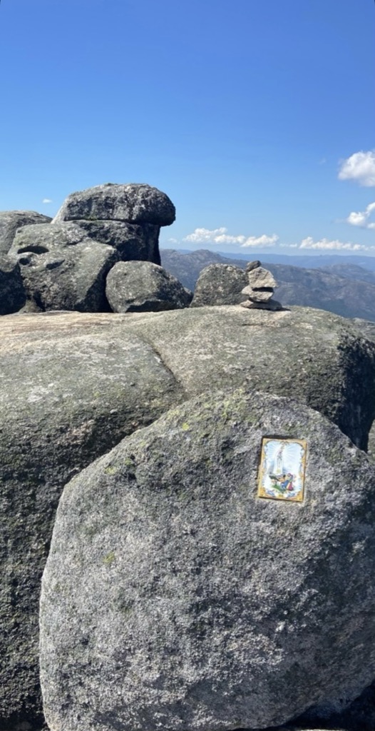
The nearest mountain hut is Abrigo do Prado do Vidoal / Prado do Mourô located 1 744m/5 723ft E of the summit.
By elevation Pé de Cabril is
# 71 out of 121 in Peneda-Gerês National Park # 27 out of 198 in Braga # 72 out of 134 in Site of Community Importance Serras da Peneda e Gerês # 80 out of 126 in Serra do Gerês Special Protection Area
By prominence Pé de Cabril is
# 4 out of 121 in Peneda-Gerês National Park # 47 out of 3785 in Portugal # 4 out of 198 in Braga # 20 out of 1203 in North # 10 out of 372 in Geres-Xures Biosphere Reserve # 5 out of 134 in Site of Community Importance Serras da Peneda e Gerês # 4 out of 126 in Serra do Gerês Special Protection Area # 53 out of 12060 in the Portugal and Galicia
We use GPS information embedded into the photo when it is available.
3D mountains overlay
Adjust mountain panorama to perfectly match your photos because recorded by camera photo position might be imprecise.
Move tool
Rotate tool
Zoom
More customization
Choose which peak labels should make into the final photo and what photo title should be.
Next
Photo Location
Satellitte
Flat map
Relief map
Latitude
Longitude
Altitude
OR
Latitude
°'''
Longitude
°'''
Apply
Register Peak
Peak Name
Latitude
Longitude
Altitude
Register
Teleport
PeakVisor
This 3D model of Sagarmatha National Park in Nepal was made using the PeakVisor app topographic data. The mobile app features higher precision models worldwide, more topographic details, and works offline. Download PeakVisor maps today.
Download OBJ model
PeakVisor
The download should start shortly. If you find it useful please consider supporting the PeakVisor app.
PeakVisor for iOS and Android
Be a superhero of outdoor navigation with state-of-the-art 3D maps and mountain identification in the palm of your hand!