Scan the QR code and open PeakVisor on your phone
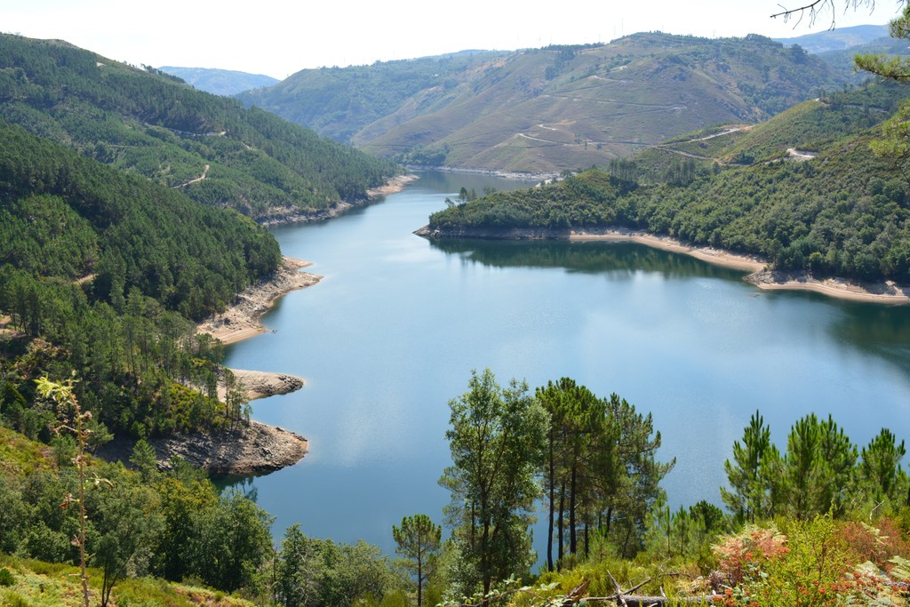
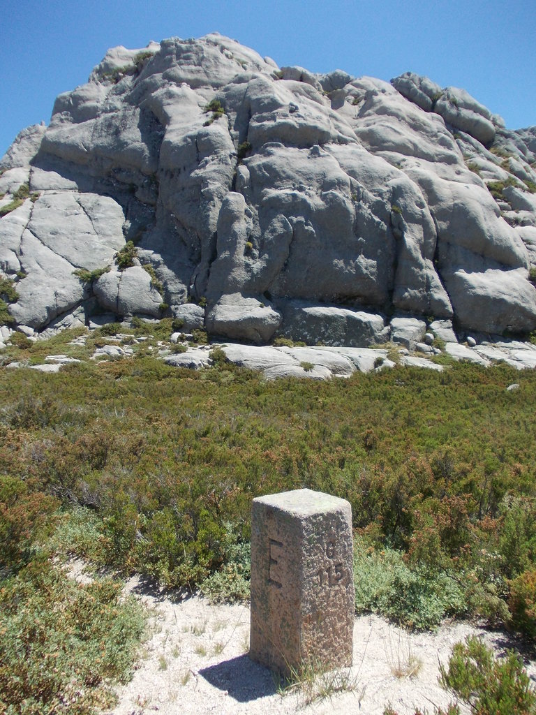
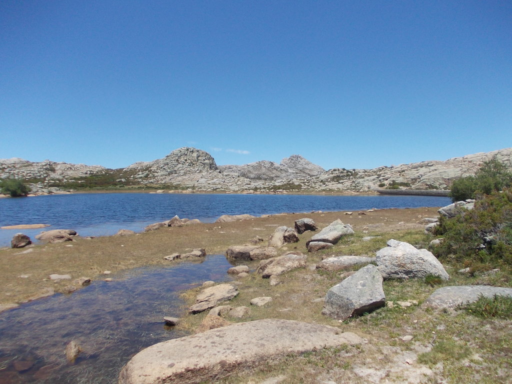
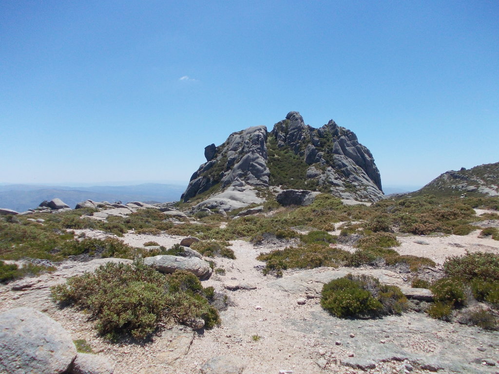
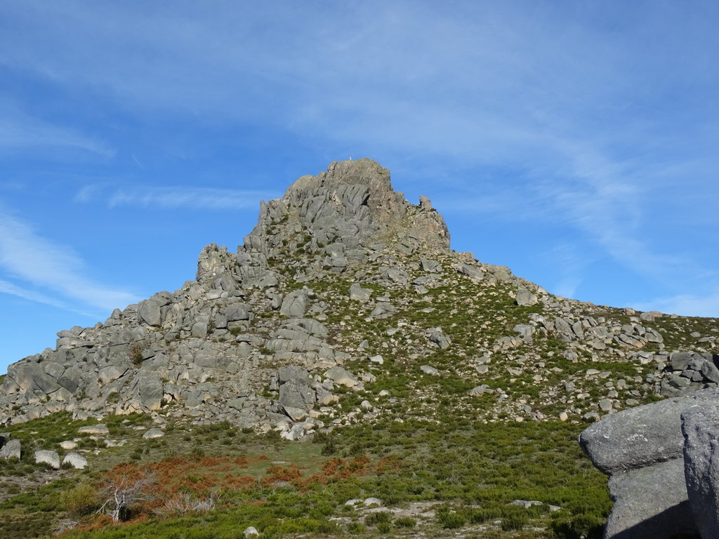
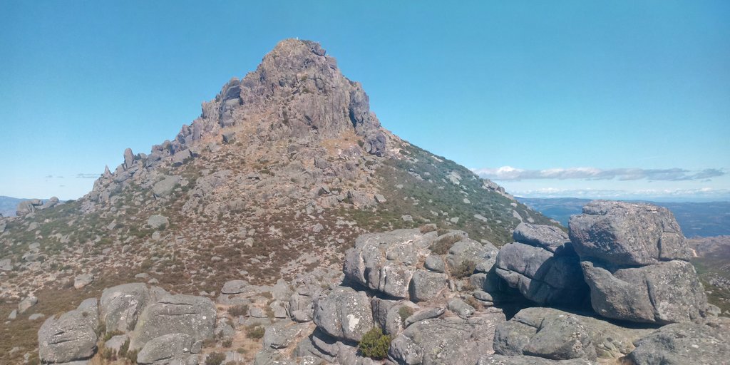
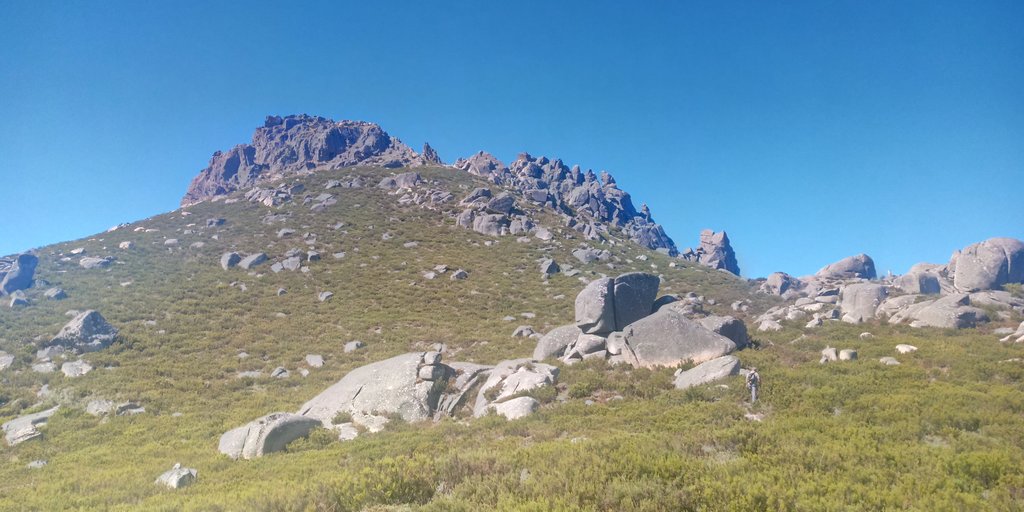
Peneda-Gerês National Park (Parque Nacional da Peneda-Gerês) is the only national park among hundreds of natural areas in Portugal at the western tip of Europe, located in the north of the country on the border with Spain, where it transitions to Baixa Limia-Serra do Xurés Nature Park of that country. The park is famous for the two mountain ranges with rich flora and fauna that gave it its name: the Serra da Peneda and the Serra do Gerês, but there are four in total within the park, the other two being the Serra Amarela and the Serra do Soajo. There are 124 named mountains in Peneda-Gerês National Park. The highest and most prominent mountain is Pico da Nevosa (1,548 m / 5,079 ft).