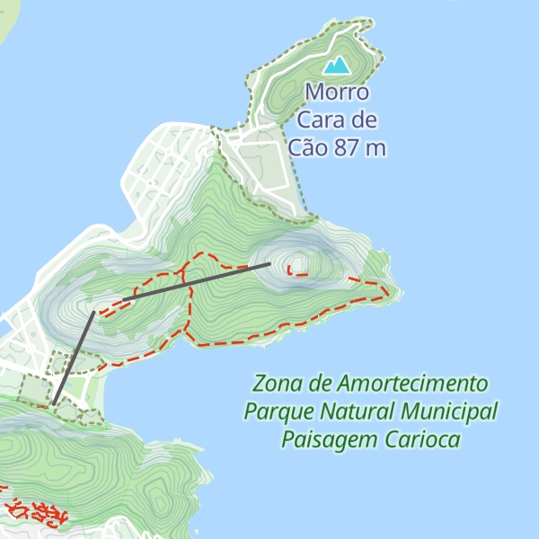
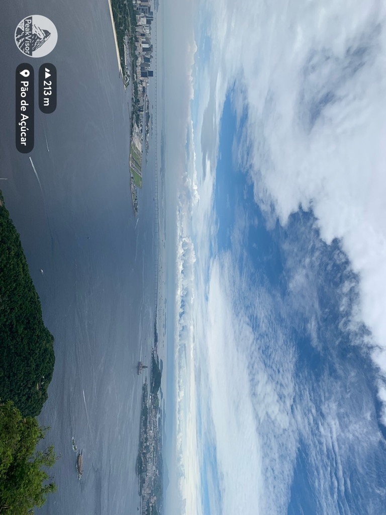
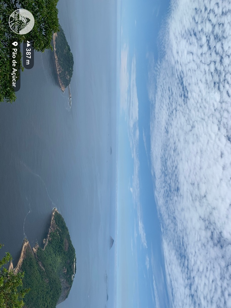
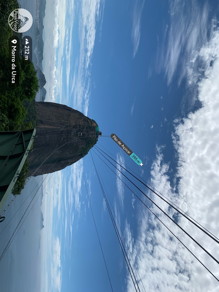
Sugarloaf Mountain (Portuguese: Pão de Açúcar, pronounced [ˈpɐ̃w dʒ(i) ɐˈsukaʁ]) is a peak situated in Rio de Janeiro, Brazil, on a peninsula at the mouth of Guanabara Bay. Rising 396 m (1,299 ft) above the harbor, the peak is named for its resemblance to the traditional shape of concentrated refined loaf sugar. It is known worldwide for its cableway and panoramic views of the city and beyond.
The mountain is one of several monolithic granite and quartz mountains that rise straight from the water's edge around Rio de Janeiro. Geologically, it is considered part of a family of steep-sided rock outcroppings known as bornhardts.
The mountain is protected by the Sugarloaf Mountain and Urca Hill Natural Monument, created in 2006.
This became part of a World Heritage Site declared by UNESCO in 2012.
There's a trail leading to the summit.
By elevation Pão de Açúcar is
# 1 out of 3 in Morros Pão de Açúcar, Urca e Cara de Cão
By prominence Pão de Açúcar is
# 1 out of 3 in Morros Pão de Açúcar, Urca e Cara de Cão # 65 out of 1055 in the Serra dos Órgãos # 29 out of 764 in Região Metropolitana do Rio de Janeiro # 73 out of 1102 in Rio de Janeiro
We use GPS information embedded into the photo when it is available.
3D mountains overlay
Adjust mountain panorama to perfectly match your photos because recorded by camera photo position might be imprecise.
Move tool
Rotate tool
Zoom
More customization
Choose which peak labels should make into the final photo and what photo title should be.
Next
Photo Location
Satellitte
Flat map
Relief map
Latitude
Longitude
Altitude
OR
Latitude
°'''
Longitude
°'''
Apply
Register Peak
Peak Name
Latitude
Longitude
Altitude
Register
Teleport
PeakVisor
This 3D model of Sagarmatha National Park in Nepal was made using the PeakVisor app topographic data. The mobile app features higher precision models worldwide, more topographic details, and works offline. Download PeakVisor maps today.
Download OBJ model
PeakVisor
The download should start shortly. If you find it useful please consider supporting the PeakVisor app.
PeakVisor for iOS and Android
Be a superhero of outdoor navigation with state-of-the-art 3D maps and mountain identification in the palm of your hand!


.jpg)