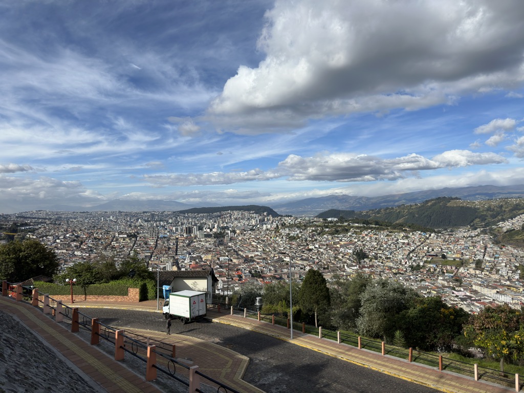
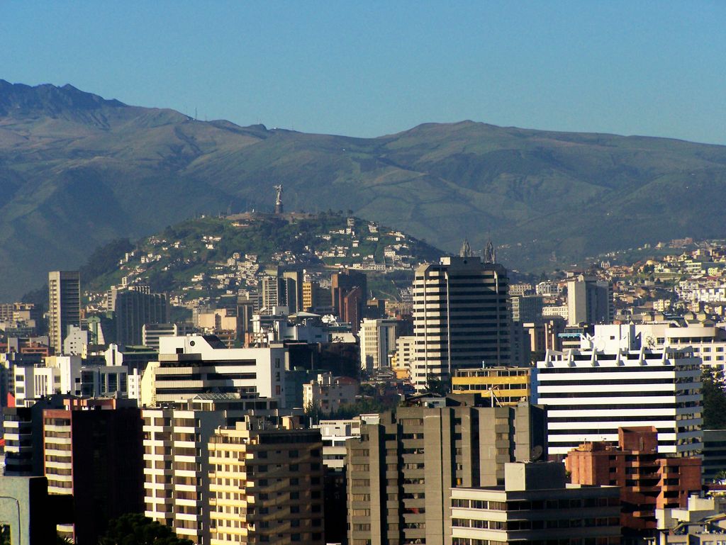
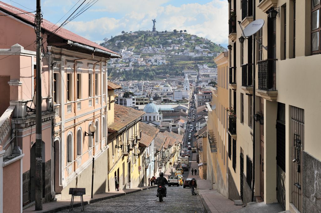
El Panecillo (from Spanish panecillo small piece of bread, diminutive of pan bread) is a 200-metre-high hill of volcanic-origin, with loess soil, located between southern and central Quito. Its peak is at an elevation of 3,016 metres (9,895 ft) above sea level. The original name used by the aboriginal inhabitants of Quito was Yavirac. According to Juan de Velasco, a Jesuit historian, there was a temple on top of Yavirac where the Indians worshiped the sun until it was destroyed by the Spanish conquistadores. The street that leads up to El Panecillo is named after Melchor Aymerich.
By elevation Panecillo is
# 74 out of 127 in Quito
By prominence Panecillo is
# 37 out of 127 in Quito # 57 out of 188 in Pichincha
We use GPS information embedded into the photo when it is available.
3D mountains overlay
Adjust mountain panorama to perfectly match your photos because recorded by camera photo position might be imprecise.
Move tool
Rotate tool
Zoom
More customization
Choose which peak labels should make into the final photo and what photo title should be.
Next
Photo Location
Satellitte
Flat map
Relief map
Latitude
Longitude
Altitude
OR
Latitude
°'''
Longitude
°'''
Apply
Register Peak
Peak Name
Latitude
Longitude
Altitude
Register
Teleport
PeakVisor
This 3D model of Sagarmatha National Park in Nepal was made using the PeakVisor app topographic data. The mobile app features higher precision models worldwide, more topographic details, and works offline. Download PeakVisor maps today.
Download OBJ model
PeakVisor
The download should start shortly. If you find it useful please consider supporting the PeakVisor app.
PeakVisor for iOS and Android
Be a superhero of outdoor navigation with state-of-the-art 3D maps and mountain identification in the palm of your hand!


_Panoramics_views_of_El_Panecillo%2C_Quito%2C_pic.a.jpg)


