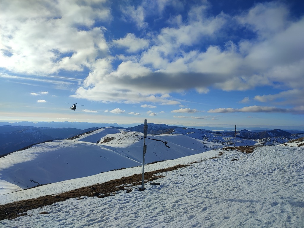
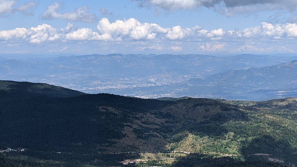
Bjelašnica (Serbian Cyrillic: Бјелашница, pronounced [bjělaːʃnit͡sa]) is a mountain in the Dinaric Alps in central Bosnia and Herzegovina. It is to the southwest of Sarajevo, bordering Mount Igman. Bjelašnica's tallest peak, by which the mountain group got its name, rises to an elevation of 2,067 metres (6,781 ft). Other notable peaks are Krvavac (2,061 m (6,762 ft)), Mali Vlahinja (2,055 m (6,742 ft)), and Hranisava (1,964 m (6,444 ft)). The Bjelašnica range is bordered by the Rakitnica in the south, the Neretva in the west, Mount Igman in the north-east and Mount Ivan in the north-west. Only at 20 minutes distance of Sarajevo, it is a tourist attraction for hiking and skiing.
Bjelašnica was, in certain areas, the site of extensive combat during the 1992–95 Siege of Sarajevo and particular areas pose a high mine risk. There are numerous trails set up and maintained by local mountain clubs that lead to the bald peaks higher up. The mountain is also visited by mountain bikers and has become a base for some paragliders.
There's a trail leading to the summit.
By elevation Bjelašnica is
# 31 out of 10965 in Bosnia and Herzegovina # 19 out of 6240 in Federation of Bosnia and Herzegovina
By prominence Bjelašnica is
# 27 out of 10965 in Bosnia and Herzegovina # 17 out of 6240 in Federation of Bosnia and Herzegovina # 59 out of 28196 in the Dinaric Alps
We use GPS information embedded into the photo when it is available.
3D mountains overlay
Adjust mountain panorama to perfectly match your photos because recorded by camera photo position might be imprecise.
Move tool
Rotate tool
Zoom
More customization
Choose which peak labels should make into the final photo and what photo title should be.
Next
Photo Location
Satellitte
Flat map
Relief map
Latitude
Longitude
Altitude
OR
Latitude
°'''
Longitude
°'''
Apply
Register Peak
Peak Name
Latitude
Longitude
Altitude
Register
Teleport
PeakVisor
This 3D model of Sagarmatha National Park in Nepal was made using the PeakVisor app topographic data. The mobile app features higher precision models worldwide, more topographic details, and works offline. Download PeakVisor maps today.
Download OBJ model
PeakVisor
The download should start shortly. If you find it useful please consider supporting the PeakVisor app.
PeakVisor for iOS and Android
Be a superhero of outdoor navigation with state-of-the-art 3D maps and mountain identification in the palm of your hand!