Olympus, or Chionistra, (Greek: Όλυμπος or Χιονίστρα; Turkish: Olimpos Tepesi) at 1,952 metres (6,404 ft), is the highest point in Cyprus. It is located in the Troodos Mountains of Cyprus. Mount Olympus peak and the "Troodos Square" fall under the territory of Platres in Limassol District. A British long range radar currently operates at Mount Olympus' peak. It has a highland warm-summer mediterranean climate.
Mount Olympus is formed of ultramafic rock, dominantly serpentinized harzburgite which is part of the Troodos ophiolite.
The Mount Olympus Ski resort consists of the Sun Valley and North Face areas. Each area has its own ski lifts and runs, operated by the Cyprus Ski Club:
Aphrodite or Sun Valley I, with a 125m T-bar ski lift and beginner-level slopes
Hermes or Sun Valley II, with a 140m T-bar ski lift and intermediate-level slopes
Dias/Zeus or North Face I, with a 380m chairlift and advanced-level slopes
Hera or North Face II, with a 262m T-bar ski lift and beginner-level slopes
In the Sun Valley area there is a 55m rope tow baby lift as well.
Writing in the late first century BC or first century AD, the geographer Strabo reported that on one of its promontories was a temple to Aphrodite Acraea (Ancient Greek: Ἀφροδίτης Ἀκραίας) which means Aphrodite of the Heights, which women were forbidden to enter.
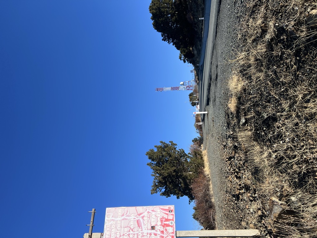
There's a trail leading to the summit.
By elevation Olympus is
# 1 out of 382 in Cyprus # 1 out of 391 in the Cyprus Mountains
By prominence Olympus is
# 1 out of 382 in Cyprus # 1 out of 391 in the Cyprus Mountains
We use GPS information embedded into the photo when it is available.
3D mountains overlay
Adjust mountain panorama to perfectly match your photos because recorded by camera photo position might be imprecise.
Move tool
Rotate tool
Zoom
More customization
Choose which peak labels should make into the final photo and what photo title should be.
Next
Photo Location
Satellitte
Flat map
Relief map
Latitude
Longitude
Altitude
OR
Latitude
°'''
Longitude
°'''
Apply
Register Peak
Peak Name
Latitude
Longitude
Altitude
Register
Teleport
PeakVisor
This 3D model of Sagarmatha National Park in Nepal was made using the PeakVisor app topographic data. The mobile app features higher precision models worldwide, more topographic details, and works offline. Download PeakVisor maps today.
Download OBJ model
PeakVisor
The download should start shortly. If you find it useful please consider supporting the PeakVisor app.
PeakVisor for iOS and Android
Be a superhero of outdoor navigation with state-of-the-art 3D maps and mountain identification in the palm of your hand!