Naruko (鳴子火山群, Naruko kazangun) is a stratovolcano located in Ōsaki, Miyagi Prefecture, Japan. The volcano consists of a 7 km wide caldera with several lava domes. The summit of the 470 m high Mt. Kurumigatake is one of the four lava domes located in the center of the caldera. The volcano is well known because of its relationship to the Naruko Hot Springs Villages. However, its lack of well-defined features makes it difficult to recognize for a casual observer. The Japan Metrological Agency considers Naruko to be an active volcano.
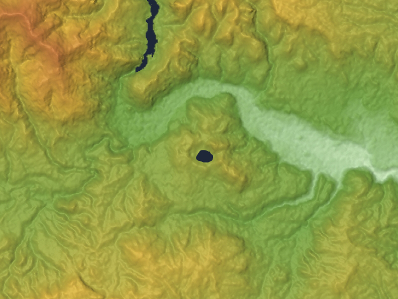
The Naruko volcano was formed through two pyroclastic flows, which occurred 73,000 and 45,000 years ago. The first lava domes were formed approximately 20,000 years ago. The rocks produced by the pyroclastic flows and lava domes vary in composition, but are generally dacitic. Subsequent volcanic activity continued to create more lava domes, while also resulting in explosive eruptions that destroyed such domes. Tephra created by an explosive eruption approximately 18,000 years ago is said to be related to the formation of Katanuma lake. The lake is located in the center of the volcano, and is known as one of the most acidic lakes in Japan, with a pH around 1.6.
The only known historical eruption of the volcano is recorded in the Shoku Nihon Kōki. According to the document, "In 837, the Naruko volcano suddenly began to tremble for several days and finally exploded, spouting hot water which ran like a river. The people were surprised and reported this event to the imperial court, which enshrined a hot spring god." This event is believed to be a relatively small phreatic eruption that resulted in the collapse of a lava dome. This also led to the present-day name of the volcano, which is said to be derived from "narugō" (鳴郷) or "naru koe no sato" (鳴る声の郷), which literally means "the place with a trembling sound."
We use GPS information embedded into the photo when it is available.
3D mountains overlay
Adjust mountain panorama to perfectly match your photos because recorded by camera photo position might be imprecise.
Move tool
Rotate tool
Zoom
More customization
Choose which peak labels should make into the final photo and what photo title should be.
Next
Photo Location
Satellitte
Flat map
Relief map
Latitude
Longitude
Altitude
OR
Latitude
°'''
Longitude
°'''
Apply
Register Peak
Peak Name
Latitude
Longitude
Altitude
Register
Teleport
PeakVisor
This 3D model of Sagarmatha National Park in Nepal was made using the PeakVisor app topographic data. The mobile app features higher precision models worldwide, more topographic details, and works offline. Download PeakVisor maps today.
Download OBJ model
PeakVisor
The download should start shortly. If you find it useful please consider supporting the PeakVisor app.
PeakVisor for iOS and Android
Be a superhero of outdoor navigation with state-of-the-art 3D maps and mountain identification in the palm of your hand!