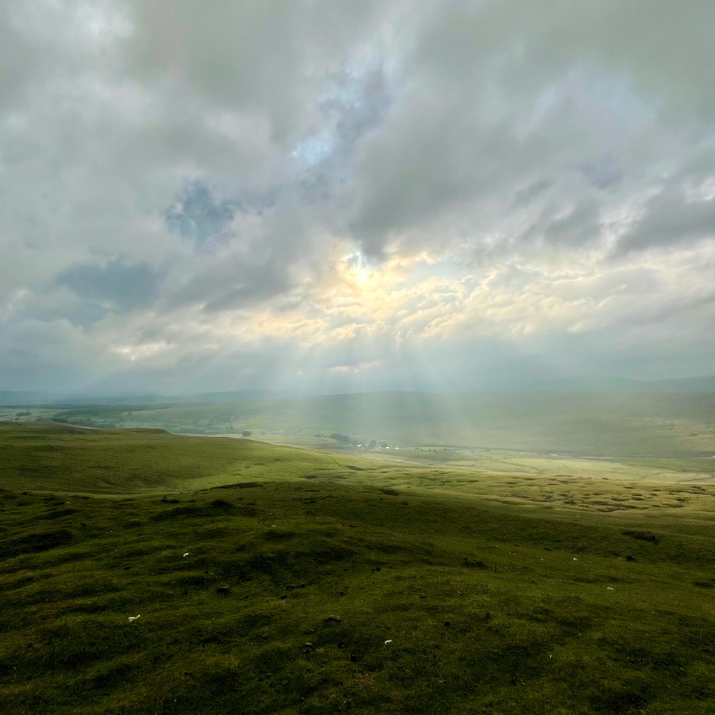
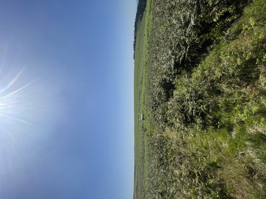
Mynydd y Lan is a 381-metre-high flat-topped hill in Caerphilly county borough in South Wales. It falls largely within the community of Ynysddu but its northern and eastern margins are within Crosskeys community. Its largely wooded southern and eastern flanks rise steeply from the Sirhowy and Ebbw valleys respectively. A wireless transmission station is located towards the northern end of the summit plateau. The current name is a possible corruption of Mynydd y Llan (mountain of the church), referencing the parish church of St Tudor, situated on its plateau. the church site has been occupied since the 5th century, with an early British site, being replaced by the Norman 11th century church.
By elevation Mynydd Y Lan is
# 21 out of 44 in Caerphilly
By prominence Mynydd Y Lan is
# 72 out of 3092 in the Wales Mountains # 2 out of 44 in Caerphilly # 72 out of 3083 in Wales
We use GPS information embedded into the photo when it is available.
3D mountains overlay
Adjust mountain panorama to perfectly match your photos because recorded by camera photo position might be imprecise.
Move tool
Rotate tool
Zoom
More customization
Choose which peak labels should make into the final photo and what photo title should be.
Next
Photo Location
Satellitte
Flat map
Relief map
Latitude
Longitude
Altitude
OR
Latitude
°'''
Longitude
°'''
Apply
Register Peak
Peak Name
Latitude
Longitude
Altitude
Register
Teleport
PeakVisor
This 3D model of Sagarmatha National Park in Nepal was made using the PeakVisor app topographic data. The mobile app features higher precision models worldwide, more topographic details, and works offline. Download PeakVisor maps today.
Download OBJ model
PeakVisor
The download should start shortly. If you find it useful please consider supporting the PeakVisor app.
PeakVisor for iOS and Android
Be a superhero of outdoor navigation with state-of-the-art 3D maps and mountain identification in the palm of your hand!