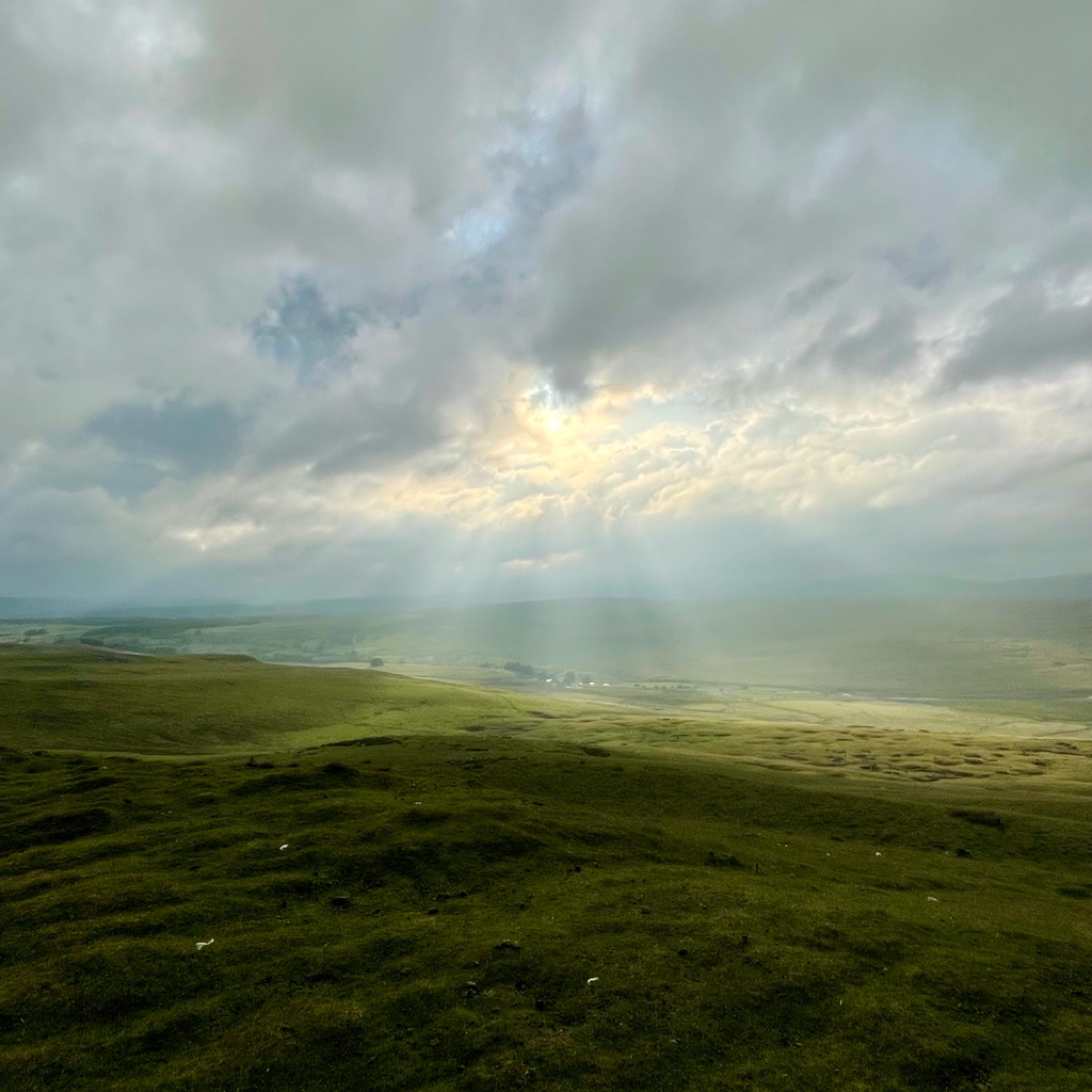
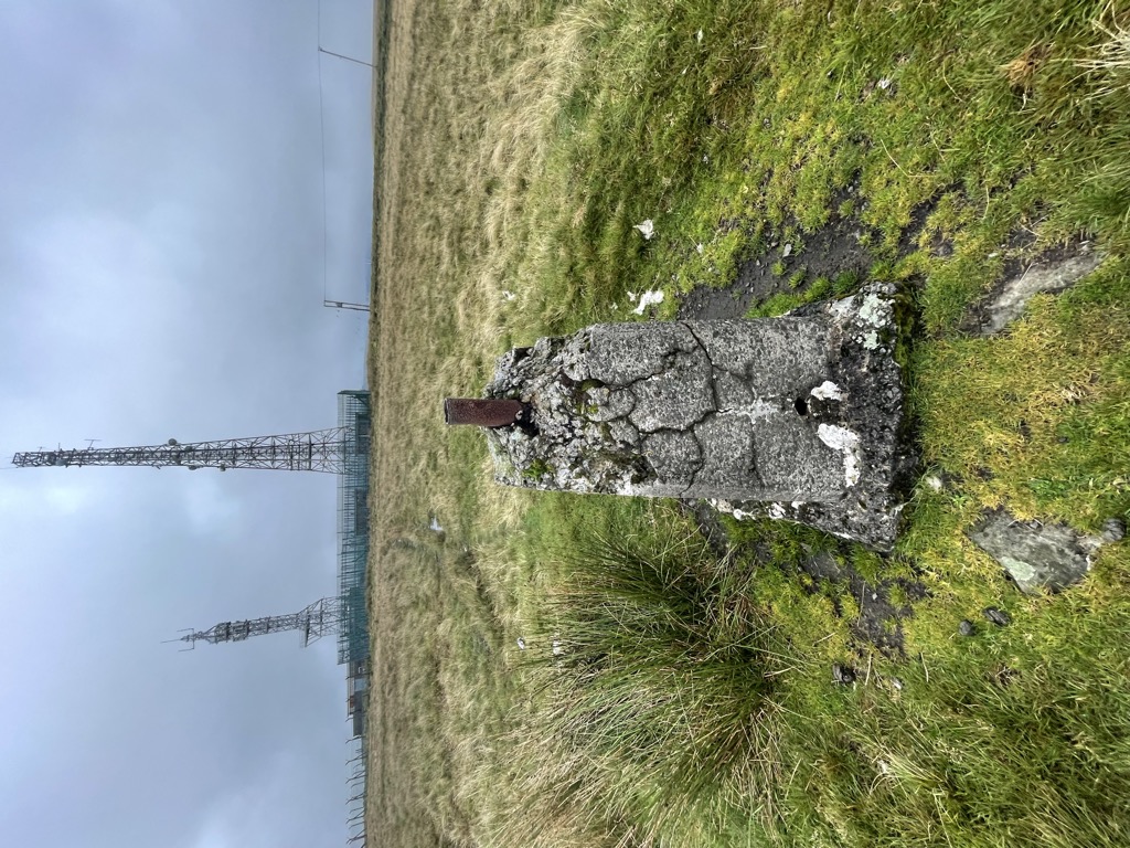
Mynydd Llangeinwyr is the highest hill in the county borough of Bridgend in the coalfield of South Wales. It forms a long north-south ridge between the valleys of Cwm Garw to the west and Cwm Ogwr Fawr to the east. The highest point of the ridge is the 568-metre flat dome known as Werfa which is crowned by a trig point and prominent masts. A secondary trig point is sited at a height of 530 m near to the ancient cairn of Carn-yr-hyrddod. The hill is named from the village of Llangeinor below its southern tip.
By elevation Mynydd Llangeinwyr - Werfa is
# 3 out of 76 in Neath Port Talbot # 1 out of 35 in Bridgend
By prominence Mynydd Llangeinwyr - Werfa is
# 13 out of 76 in Neath Port Talbot # 4 out of 35 in Bridgend
We use GPS information embedded into the photo when it is available.
3D mountains overlay
Adjust mountain panorama to perfectly match your photos because recorded by camera photo position might be imprecise.
Move tool
Rotate tool
Zoom
More customization
Choose which peak labels should make into the final photo and what photo title should be.
Next
Photo Location
Satellitte
Flat map
Relief map
Latitude
Longitude
Altitude
OR
Latitude
°'''
Longitude
°'''
Apply
Register Peak
Peak Name
Latitude
Longitude
Altitude
Register
Teleport
PeakVisor
This 3D model of Sagarmatha National Park in Nepal was made using the PeakVisor app topographic data. The mobile app features higher precision models worldwide, more topographic details, and works offline. Download PeakVisor maps today.
Download OBJ model
PeakVisor
The download should start shortly. If you find it useful please consider supporting the PeakVisor app.
PeakVisor for iOS and Android
Be a superhero of outdoor navigation with state-of-the-art 3D maps and mountain identification in the palm of your hand!