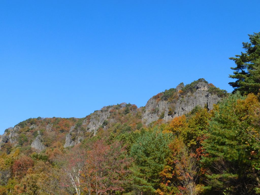
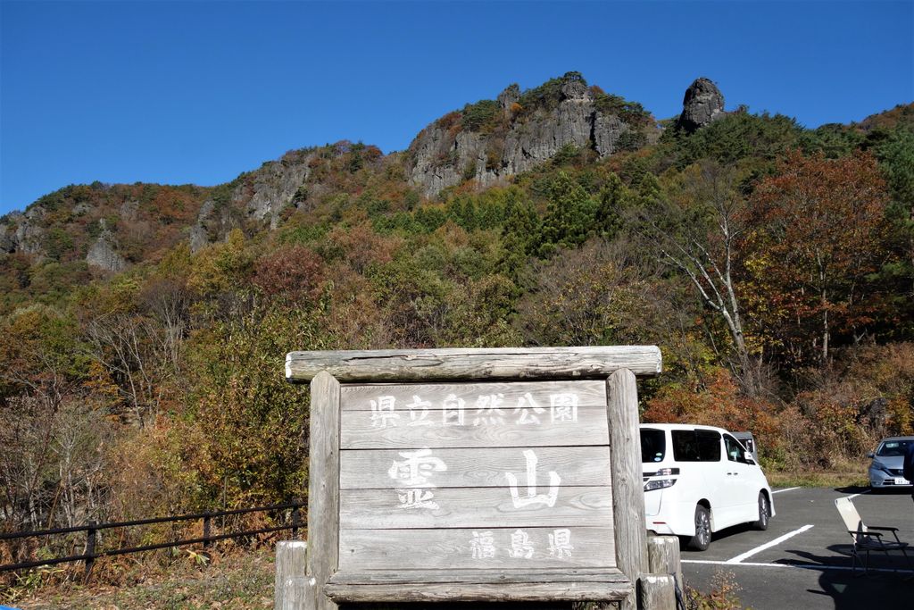
Mount Ryōzen (霊山, Ryōzen) is a mountain on the border of Sōma City and the former town of Ryōzen, in Date City, Fukushima. It is 825 metres (2,707 ft) in height. Along the hiking trail are the sites of what were Ryōzen Temple and Ryōzen Castle. The mountain is listed as one of the 100 Landscapes of Japan in a contest sponsored by the Tokyo Nichi Nichi Shimbun and Osaka Mainichi Shimbun. It is also a national Place of Scenic Beauty as determined by the Agency for Cultural Affairs in Japan and is noted for its autumn foliage and a National Historic Site of Japan.
We use GPS information embedded into the photo when it is available.
3D mountains overlay
Adjust mountain panorama to perfectly match your photos because recorded by camera photo position might be imprecise.
Move tool
Rotate tool
Zoom
More customization
Choose which peak labels should make into the final photo and what photo title should be.
Next
Photo Location
Satellitte
Flat map
Relief map
Latitude
Longitude
Altitude
OR
Latitude
°'''
Longitude
°'''
Apply
Register Peak
Peak Name
Latitude
Longitude
Altitude
Register
Teleport
PeakVisor
This 3D model of Sagarmatha National Park in Nepal was made using the PeakVisor app topographic data. The mobile app features higher precision models worldwide, more topographic details, and works offline. Download PeakVisor maps today.
Download OBJ model
PeakVisor
The download should start shortly. If you find it useful please consider supporting the PeakVisor app.
PeakVisor for iOS and Android
Be a superhero of outdoor navigation with state-of-the-art 3D maps and mountain identification in the palm of your hand!