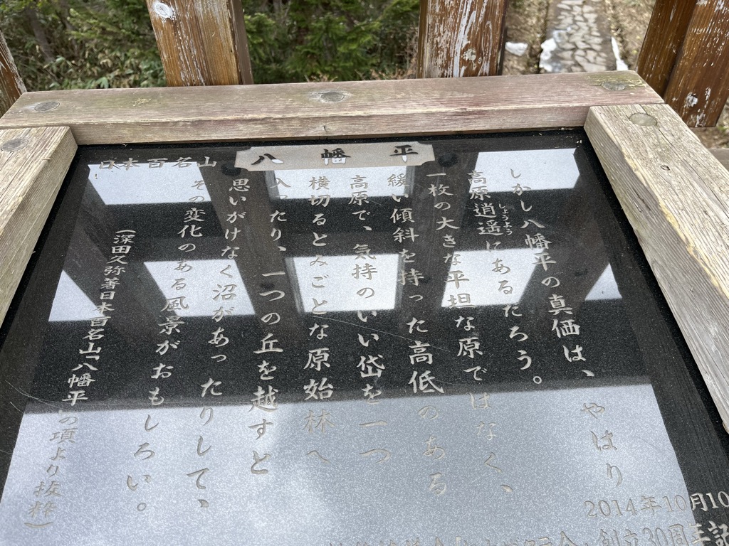
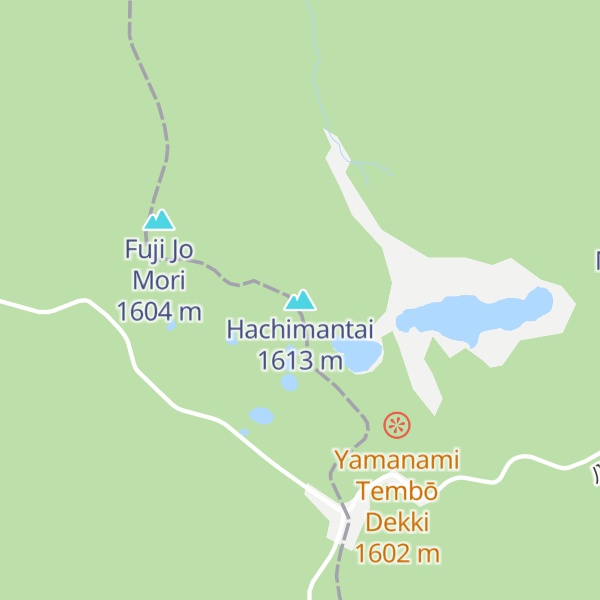
Mount Hachimantai (八幡平, Hachimantai) is the highest peak of a group of stratovolcanos distributed around the Hachimantai plateau in the Ōu Mountains in northern Honshū, Japan. This volcanic plateau is part of the Nasu Volcanic Zone and straddles the border between the Iwate Prefecture and Akita Prefecture. The volcano is listed as one of the 100 Famous Japanese Mountains, and forms part of the Towada-Hachimantai National Park.
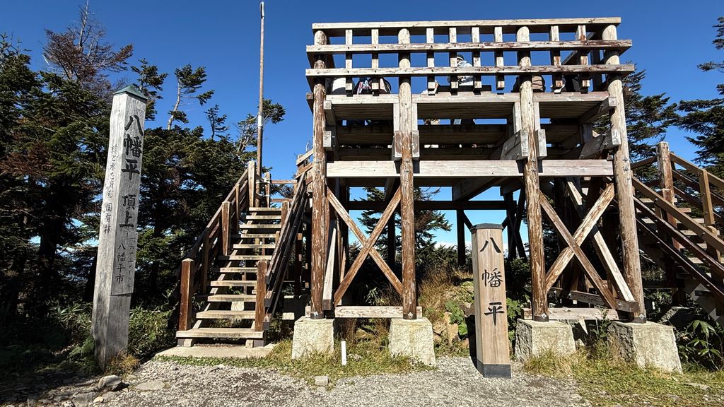
There's a trail leading to the summit.
The nearest mountain hut is Ryōunsō located 431m/1 413ft E of the summit.
By elevation Hachimantai is
# 3 out of 451 in Akita Prefecture # 10 out of 563 in Iwate Prefecture # 52 out of 707 in the Ōu Mountains
By prominence Hachimantai is
# 29 out of 451 in Akita Prefecture # 37 out of 563 in Iwate Prefecture # 52 out of 707 in the Ōu Mountains
We use GPS information embedded into the photo when it is available.
3D mountains overlay
Adjust mountain panorama to perfectly match your photos because recorded by camera photo position might be imprecise.
Move tool
Rotate tool
Zoom
More customization
Choose which peak labels should make into the final photo and what photo title should be.
Next
Photo Location
Satellitte
Flat map
Relief map
Latitude
Longitude
Altitude
OR
Latitude
°'''
Longitude
°'''
Apply
Register Peak
Peak Name
Latitude
Longitude
Altitude
Register
Teleport
PeakVisor
This 3D model of Sagarmatha National Park in Nepal was made using the PeakVisor app topographic data. The mobile app features higher precision models worldwide, more topographic details, and works offline. Download PeakVisor maps today.
Download OBJ model
PeakVisor
The download should start shortly. If you find it useful please consider supporting the PeakVisor app.
PeakVisor for iOS and Android
Be a superhero of outdoor navigation with state-of-the-art 3D maps and mountain identification in the palm of your hand!