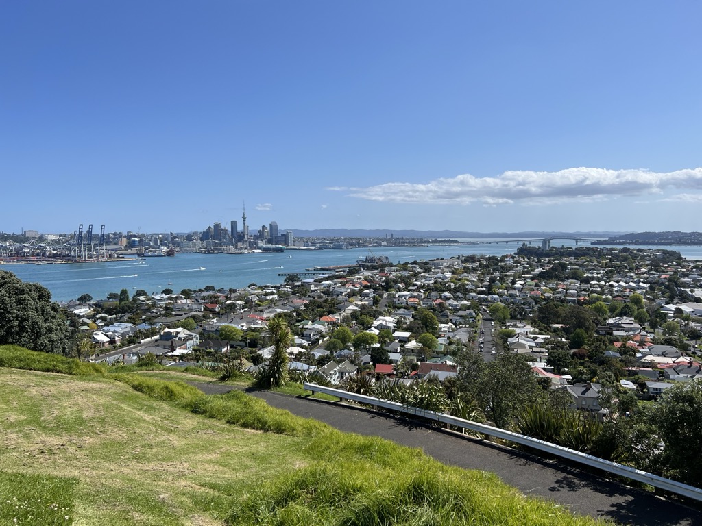
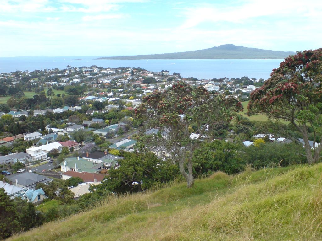
Takarunga / Mount Victoria is the highest volcano on Auckland's North Shore, rising to 66 metres in elevation. Its age is currently unknown. Its lava flows now line much of Devonport's waterfront. Takarunga was the location of an important pā used by Tāmaki Māori peoples. In the late 19th century, a gun fort was built on top of the hill, in order to defend the city of Auckland. As a designated tūpuna maunga, the mountain has been governed by the Tūpuna Maunga Authority, along with thirteen other cones throughout Auckland, since 2014.
There's a trail leading to the summit.
By elevation Mount Victoria is
# 1 out of 2 in North Shore Ward
By prominence Mount Victoria is
# 1 out of 2 in North Shore Ward # 59 out of 194 in Auckland
We use GPS information embedded into the photo when it is available.
3D mountains overlay
Adjust mountain panorama to perfectly match your photos because recorded by camera photo position might be imprecise.
Move tool
Rotate tool
Zoom
More customization
Choose which peak labels should make into the final photo and what photo title should be.
Next
Photo Location
Satellitte
Flat map
Relief map
Latitude
Longitude
Altitude
OR
Latitude
°'''
Longitude
°'''
Apply
Register Peak
Peak Name
Latitude
Longitude
Altitude
Register
Teleport
PeakVisor
This 3D model of Sagarmatha National Park in Nepal was made using the PeakVisor app topographic data. The mobile app features higher precision models worldwide, more topographic details, and works offline. Download PeakVisor maps today.
Download OBJ model
PeakVisor
The download should start shortly. If you find it useful please consider supporting the PeakVisor app.
PeakVisor for iOS and Android
Be a superhero of outdoor navigation with state-of-the-art 3D maps and mountain identification in the palm of your hand!