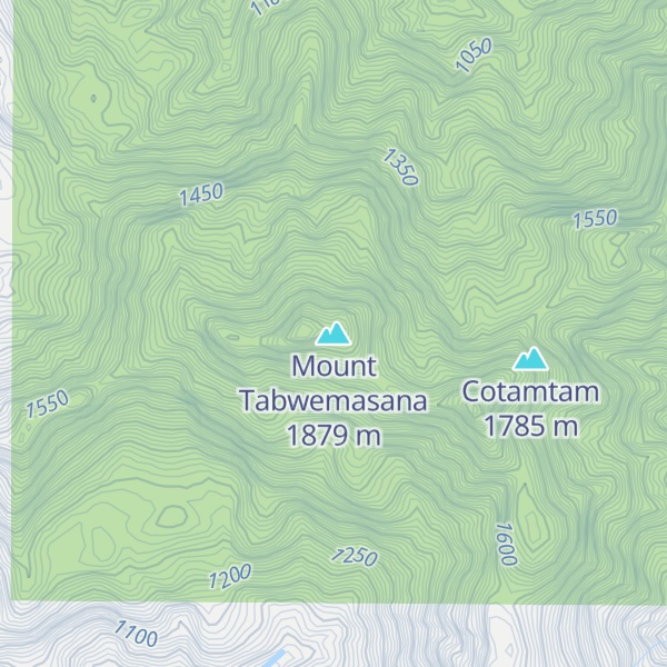
Mount Tabwemasana is the highest peak in Vanuatu, and one of the highest mountains in the Pacific. At 1,879 metres (6,165 ft), Tabwemasana towers above the surrounding mountains and provides fantastic views toward the Coral Sea in East. Located on the isolated west coast of the island of Espiritu Santo. Mount Tabwemasana actually consists of two peaks and local folklore believes that these two peaks (male and female) come together in embrace at night.
Until the 1970s the village of Kerepua was located on the flanks of Tabwemasana, a full day's walk to the coast through thick rainforest. However, in the late 1970s like many other mountain villages, Kerepua was relocated to the coast and now provides the launching pad for any summit attempt.
Very few tourists climb Tabwemasana each year, with the number reaching the summit generally less than six persons per year. This is primarily due to the isolated location of the mountain and the physical difficulty of ascending the peak. Those wishing to climb Tabwemasana must first take a boat from the village of Tasiriki to Kerepua. From Kerepua you trek up a river before leaving the valley for a steep ascent up the mountain. Guides are required as the track is very difficult to follow.
The tree species Metrosideros tabwemasanaensis is found only on Mount Tabwemasana.
We use GPS information embedded into the photo when it is available.
3D mountains overlay
Adjust mountain panorama to perfectly match your photos because recorded by camera photo position might be imprecise.
Move tool
Rotate tool
Zoom
More customization
Choose which peak labels should make into the final photo and what photo title should be.
Next
Photo Location
Satellitte
Flat map
Relief map
Latitude
Longitude
Altitude
OR
Latitude
°'''
Longitude
°'''
Apply
Register Peak
Peak Name
Latitude
Longitude
Altitude
Register
Teleport
PeakVisor
This 3D model of Sagarmatha National Park in Nepal was made using the PeakVisor app topographic data. The mobile app features higher precision models worldwide, more topographic details, and works offline. Download PeakVisor maps today.
Download OBJ model
PeakVisor
The download should start shortly. If you find it useful please consider supporting the PeakVisor app.
PeakVisor for iOS and Android
Be a superhero of outdoor navigation with state-of-the-art 3D maps and mountain identification in the palm of your hand!