Mount Lofty (34°58′S 138°42′E, elevation 710 m (2,330 ft) AHD) is the highest point in the southern Mount Lofty Ranges. It is located about 15 km (9.3 mi) east of the Adelaide city centre, within the Cleland National Park in the Adelaide Hills area of South Australia.
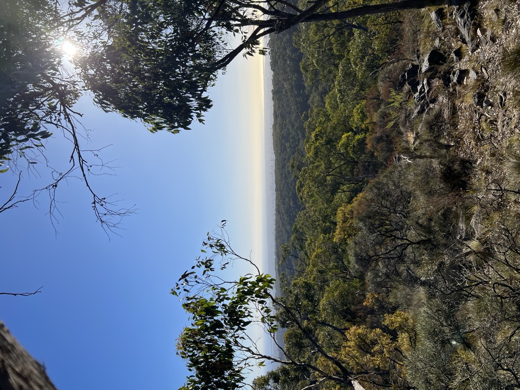
The mountain's summit has panoramic views of the city and the Adelaide plains to the west, and of the Picadilly Valley to the east. It is also popular destination for international tourists, as well as for cyclists coming up the old Mount Barker Road through Eagle on the Hill, and for walkers from Waterfall Gully.
There's a trail leading to the summit.
By elevation Mount Lofty is
# 1 out of 8 in Cleland Conservation Park # 1 out of 69 in Adelaide Hills Council
By prominence Mount Lofty is
# 1 out of 8 in Cleland Conservation Park # 35 out of 2917 in South Australia # 1 out of 69 in Adelaide Hills Council
We use GPS information embedded into the photo when it is available.
3D mountains overlay
Adjust mountain panorama to perfectly match your photos because recorded by camera photo position might be imprecise.
Move tool
Rotate tool
Zoom
More customization
Choose which peak labels should make into the final photo and what photo title should be.
Next
Photo Location
Satellitte
Flat map
Relief map
Latitude
Longitude
Altitude
OR
Latitude
°'''
Longitude
°'''
Apply
Register Peak
Peak Name
Latitude
Longitude
Altitude
Register
Teleport
PeakVisor
This 3D model of Sagarmatha National Park in Nepal was made using the PeakVisor app topographic data. The mobile app features higher precision models worldwide, more topographic details, and works offline. Download PeakVisor maps today.
Download OBJ model
PeakVisor
The download should start shortly. If you find it useful please consider supporting the PeakVisor app.
PeakVisor for iOS and Android
Be a superhero of outdoor navigation with state-of-the-art 3D maps and mountain identification in the palm of your hand!