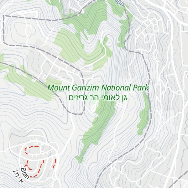
Mount Gerizim (; Samaritan Hebrew: ࠄࠟࠓࠬࠂࠟࠓࠩࠆࠝࠉࠌ ʾĀ̊rgā̊rīzem; Hebrew: הַר גְּרִזִים Har Gərīzīm; Arabic: جَبَل جَرِزِيم Jabal Jarizīm or جَبَلُ ٱلطُّورِ Jabal at-Ṭūr) is one of two mountains in the immediate vicinity of the Palestinian city of Nablus and the biblical city of Shechem. It forms the southern side of the valley in which Nablus is situated, the northern side being formed by Mount Ebal. The mountain is one of the highest peaks in the West Bank and rises to 881 m (2,890 ft) above sea level, 70 m (230 ft) lower than Mount Ebal. The mountain is particularly steep on the northern side, is sparsely covered at the top with shrubbery, and lower down there is a spring with a high yield of fresh water. For the Samaritan people, most of whom live around it, Mount Gerizim is considered the holiest place on Earth.
The mountain is mentioned in the Bible as the place where, upon first entering the Promised Land after the Exodus, the Israelites performed ceremonies of blessings, as they had been instructed by Moses.
Mount Gerizim is sacred to the Samaritans, who regard it, rather than Jerusalem's Temple Mount, as the location chosen by God for a holy temple. In Samaritan tradition, it is the oldest and most central mountain in the world, towering above the Great Flood and providing the first land for Noah’s disembarkation. It is also the location where Abraham almost sacrificed his son Isaac. Jews, on the other hand, consider the location of the near-sacrifice to be Mount Moriah, traditionally identified by them with the Temple Mount. Mount Gerizim continues to be the centre of Samaritan religion to this day, and Samaritans ascend it three times a year: at Passover, Shavuot and Sukkot. Passover is still celebrated by the Samaritans with a lamb sacrifice on Mount Gerizim.
The Samaritan village of Kiryat Luza and an Israeli settlement, Har Brakha, are situated on the ridge of Mount Gerizim. During the First Intifada in 1987, many Samaritan families relocated from Nablus to Mount Gerizim to avoid the violence. Today, about half of the remaining Samaritans live in close proximity to Gerizim, mostly in the small village of Kiryat Luza.
By elevation Mount Gerizim is
# 30 out of 341 in Palestinian Territory # 30 out of 319 in Judea and Samaria
By prominence Mount Gerizim is
# 35 out of 8954 in the Levant Ranges # 4 out of 341 in Palestinian Territory # 4 out of 319 in Judea and Samaria
We use GPS information embedded into the photo when it is available.
3D mountains overlay
Adjust mountain panorama to perfectly match your photos because recorded by camera photo position might be imprecise.
Move tool
Rotate tool
Zoom
More customization
Choose which peak labels should make into the final photo and what photo title should be.
Next
Photo Location
Satellitte
Flat map
Relief map
Latitude
Longitude
Altitude
OR
Latitude
°'''
Longitude
°'''
Apply
Register Peak
Peak Name
Latitude
Longitude
Altitude
Register
Teleport
PeakVisor
This 3D model of Sagarmatha National Park in Nepal was made using the PeakVisor app topographic data. The mobile app features higher precision models worldwide, more topographic details, and works offline. Download PeakVisor maps today.
Download OBJ model
PeakVisor
The download should start shortly. If you find it useful please consider supporting the PeakVisor app.
PeakVisor for iOS and Android
Be a superhero of outdoor navigation with state-of-the-art 3D maps and mountain identification in the palm of your hand!