Mount Finke is a monadnock in the Australian state of South Australia, located in the gazetted locality of Yellabinna about 125 kilometres (78 mi) north of Ceduna.
In 1999, it was described as follows:It is about 5km long with an elevation of 369 m AHD, it stands about 270m above the surrounding landscape. Mt Finke is an isolated block of steeply dipping quartzite believed to be part of a landform dating back some 250 Ma.
It was named by John McDouall Stuart, the British explorer, on 7 August 1858 after William Finke who was a friend "associated with mining & pastoral activities".
It has a locally diverse flora and fauna, including 266 plant species. The open shrubland occurs on thin soils over quartzite with the most common species including Victoria spring mallee (Eucalyptus trivialis), mulga (Acacia aneura), Ooldea mallee (Eucalyptus youngiana) and porcupine grass (Triodia irritans). Grevillea treueriana is endemic to the Mount Finke area. Fauna species include the euro (Macropus robustus), little rock dragon (Ctenophorus fionii), little wood swallow (Artamus minor) and leaf beetle (Paropsisterna bimaculata).
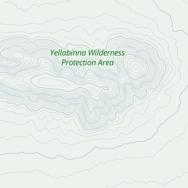
Since 2005, Mount Finke has been located within the boundaries of the protected area known as the Yellabinna Wilderness Protection Area which was originally part of the Yellabinna Regional Reserve.
There's a trail called Mt Finke Track leading to the summit.
By elevation Mount Finke is
# 1 out of 1 in Yellabinna Wilderness Protection Area
By prominence Mount Finke is
# 1 out of 1 in Yellabinna Wilderness Protection Area # 41 out of 1682 in Pastoral Unincorporated Area
We use GPS information embedded into the photo when it is available.
3D mountains overlay
Adjust mountain panorama to perfectly match your photos because recorded by camera photo position might be imprecise.
Move tool
Rotate tool
Zoom
More customization
Choose which peak labels should make into the final photo and what photo title should be.
Next
Photo Location
Satellitte
Flat map
Relief map
Latitude
Longitude
Altitude
OR
Latitude
°'''
Longitude
°'''
Apply
Register Peak
Peak Name
Latitude
Longitude
Altitude
Register
Teleport
PeakVisor
This 3D model of Sagarmatha National Park in Nepal was made using the PeakVisor app topographic data. The mobile app features higher precision models worldwide, more topographic details, and works offline. Download PeakVisor maps today.
Download OBJ model
PeakVisor
The download should start shortly. If you find it useful please consider supporting the PeakVisor app.
PeakVisor for iOS and Android
Be a superhero of outdoor navigation with state-of-the-art 3D maps and mountain identification in the palm of your hand!