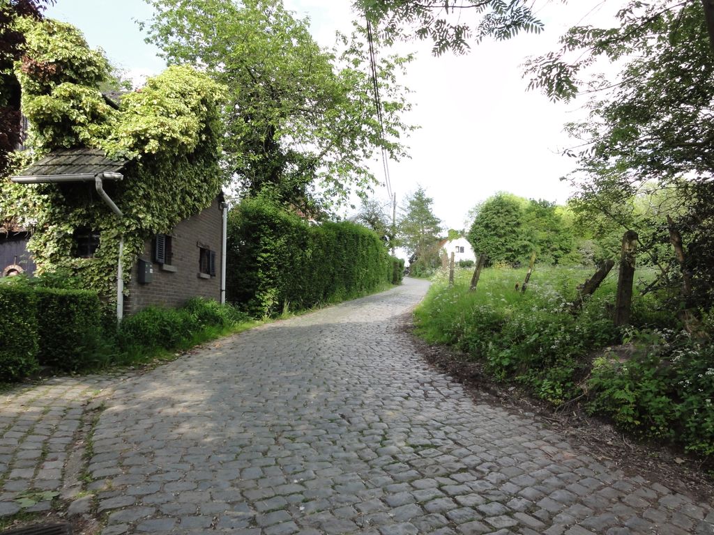
The Molenberg (Mill Hill) is a hill in the municipality of Zwalm, in the Belgian province of East Flanders, with its top at 56 m. It is one of the many hills in the Zwalm region, just north of the Flemish Ardennes. The road of the Molenberg has a roughly-paved cobbled surface, which is classified and protected as a landscape monument. At the foot of the hill there is a 13th-century water mill, the Moldergemmolen, from which the hill takes its name.
There's a trail called Herretweg leading to the summit.
By elevation Molenberg is
# 98 out of 127 in Flanders # 45 out of 50 in East Flanders
We use GPS information embedded into the photo when it is available.
3D mountains overlay
Adjust mountain panorama to perfectly match your photos because recorded by camera photo position might be imprecise.
Move tool
Rotate tool
Zoom
More customization
Choose which peak labels should make into the final photo and what photo title should be.
Next
Photo Location
Satellitte
Flat map
Relief map
Latitude
Longitude
Altitude
OR
Latitude
°'''
Longitude
°'''
Apply
Register Peak
Peak Name
Latitude
Longitude
Altitude
Register
Teleport
PeakVisor
This 3D model of Sagarmatha National Park in Nepal was made using the PeakVisor app topographic data. The mobile app features higher precision models worldwide, more topographic details, and works offline. Download PeakVisor maps today.
Download OBJ model
PeakVisor
The download should start shortly. If you find it useful please consider supporting the PeakVisor app.
PeakVisor for iOS and Android
Be a superhero of outdoor navigation with state-of-the-art 3D maps and mountain identification in the palm of your hand!