Available for connected Garmin and Suunto accounts.
Scan the QR code and open PeakVisor on your phone
Ludogorie Peak map
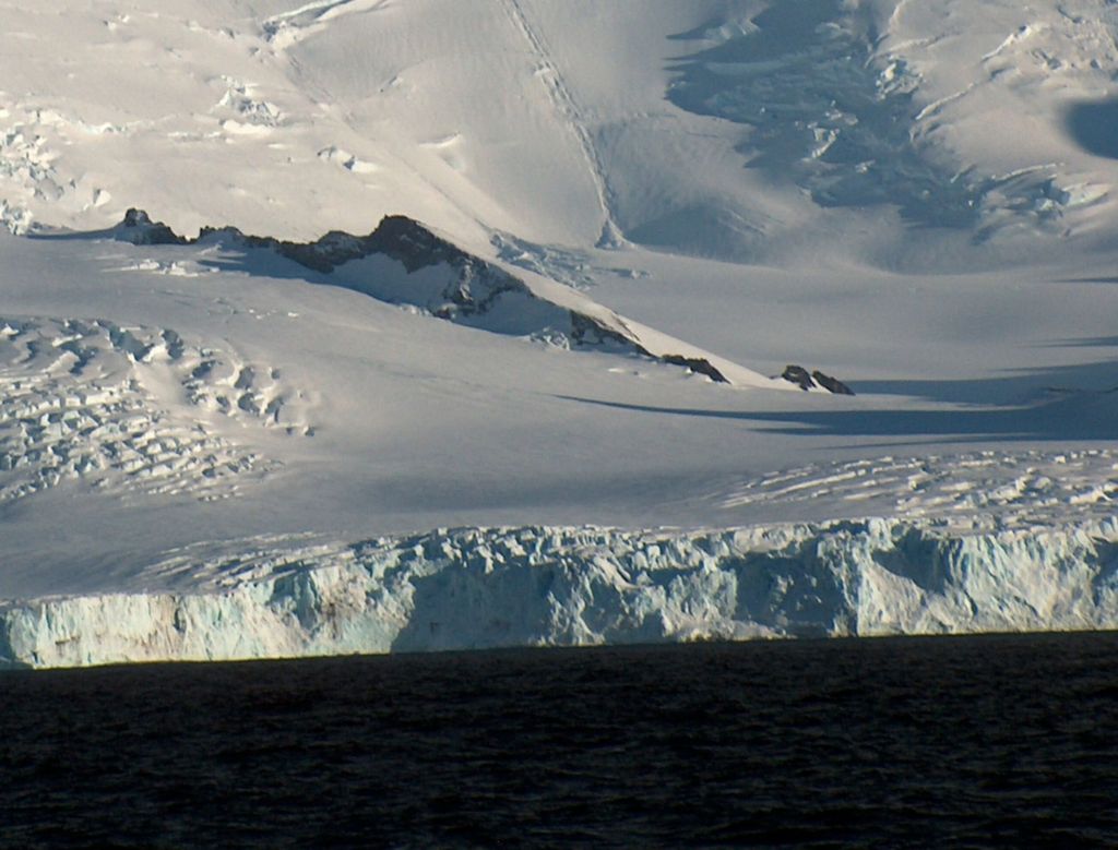
Ludogorie Peak
L
Add photo
4 m
Elevation
Elevation is the altitude of a place above sea level.
Proportional Prominence0
About
Ludogorie Peak (Bulgarian: връх Лудогорие, romanized: vrah Ludogorie, IPA: [ˈvrɤx ɫodoˈɡɔriɛ]) is a peak rising to 350 m in Friesland Ridge, Tangra Mountains in eastern Livingston Island, South Shetland Islands in Antarctica. The peak overlooks Prespa Glacier to the west and south, Macy Glacier to the northeast, and Brunow Bay to the east, and is named after Ludogorie region in northeastern Bulgaria.
We use GPS information embedded into the photo when it is available.
3D mountains overlay
Adjust mountain panorama to perfectly match your photos because recorded by camera photo position might be imprecise.
Move tool
Rotate tool
Zoom
More customization
Choose which peak labels should make into the final photo and what photo title should be.
Next
Photo Location
Satellitte
Flat map
Relief map
Latitude
Longitude
Altitude
OR
Latitude
°'''
Longitude
°'''
Apply
Register Peak
Peak Name
Latitude
Longitude
Altitude
Register
Teleport
PeakVisor
This 3D model of Sagarmatha National Park in Nepal was made using the PeakVisor app topographic data. The mobile app features higher precision models worldwide, more topographic details, and works offline. Download PeakVisor maps today.
Download OBJ model
PeakVisor
The download should start shortly. If you find it useful please consider supporting the PeakVisor app.
PeakVisor for iOS and Android
Be a superhero of outdoor navigation with state-of-the-art 3D maps and mountain identification in the palm of your hand!