Little Rangitoto, officially known as Maungarāhiri / Little Rangitoto, and also as Rangitoto-iti, is a volcano in the Auckland volcanic field in Remuera, New Zealand. The name Maungarāhiri refers to Rāhiri, an ancestor of Ngāpuhi, who journeyed around the North Island (Te Ika-a-Māui). In the 1700s and early 1800s, the volcano was the site of Ngāti Whātua-o-Ōrākei seasonal farms.
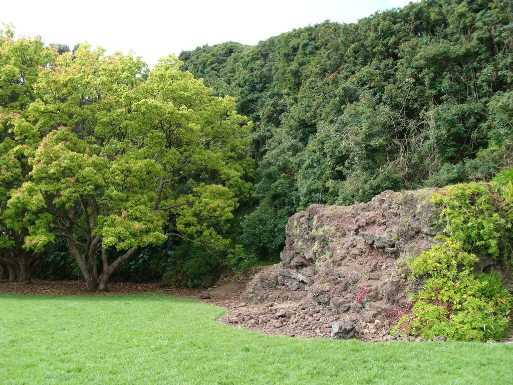
This scoria cone had a peak 75 metres above sea level (30m higher than the surrounding land) before it was mostly quarried away. The quarry site is now Little Rangitoto Reserve, having been partly filled with refuse in the 1950s. Remnants of the southern slopes of the cone lie south of the reserve and underlie houses in Ventnor Road.
A lava flow burst forth from the northwestern base of the cone and flowed north down the valley west of Orakei Basin tuff ring and out into what is now Hobson Bay. Part of this flow can be seen among the mangroves adjacent to the Shore Rd bridge across the creek from St Kentigern School carpark. The toe of the lava flow is buried beneath mud and railway embankment near the Hobson Bay marina.
We use GPS information embedded into the photo when it is available.
3D mountains overlay
Adjust mountain panorama to perfectly match your photos because recorded by camera photo position might be imprecise.
Move tool
Rotate tool
Zoom
More customization
Choose which peak labels should make into the final photo and what photo title should be.
Next
Photo Location
Satellitte
Flat map
Relief map
Latitude
Longitude
Altitude
OR
Latitude
°'''
Longitude
°'''
Apply
Register Peak
Peak Name
Latitude
Longitude
Altitude
Register
Teleport
PeakVisor
This 3D model of Sagarmatha National Park in Nepal was made using the PeakVisor app topographic data. The mobile app features higher precision models worldwide, more topographic details, and works offline. Download PeakVisor maps today.
Download OBJ model
PeakVisor
The download should start shortly. If you find it useful please consider supporting the PeakVisor app.
PeakVisor for iOS and Android
Be a superhero of outdoor navigation with state-of-the-art 3D maps and mountain identification in the palm of your hand!