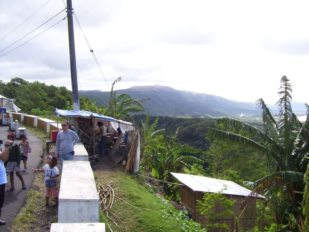
Laguna Caldera is a potentially active volcanic caldera and a geographical depression in Rizal, Philippines. It is broadly elliptical in shape, with dimensions of 20 by 10 km. It has a summit (Mount Sembrano) elevation of 743 metres (2,438 ft). The caldera forms the middle lobe of Laguna de Bay, bound by the Morong Peninsula and Talim Island to the west, and the Jalajala Peninsula to the east.
The caldera may have formed in two stages about 1 million and 27,000-29,000 years ago, during which time at least two major explosive eruptions took place. It is unknown when the Laguna Caldera last erupted but it may have been active during the Holocene. Deposits from the caldera form thick ignimbrite sheets in Rizal, Metro Manila, Laguna, and Bulacan. Remnants of volcanic activity include undated maars at the southern end of Talim Island and a solfatara field on nearby Mount Sembrano. Given the current shape of the lake and the caldera, and how it was once connected to Manila Bay as evidenced by its ground drill geology, its formation is speculated to have been a result of an even earlier cataclysmic eruption, pointing to a possibility that it was once a volcano of considerable elevation that exploded, similar to Krakatoa.
We use GPS information embedded into the photo when it is available.
3D mountains overlay
Adjust mountain panorama to perfectly match your photos because recorded by camera photo position might be imprecise.
Move tool
Rotate tool
Zoom
More customization
Choose which peak labels should make into the final photo and what photo title should be.
Next
Photo Location
Satellitte
Flat map
Relief map
Latitude
Longitude
Altitude
OR
Latitude
°'''
Longitude
°'''
Apply
Register Peak
Peak Name
Latitude
Longitude
Altitude
Register
Teleport
PeakVisor
This 3D model of Sagarmatha National Park in Nepal was made using the PeakVisor app topographic data. The mobile app features higher precision models worldwide, more topographic details, and works offline. Download PeakVisor maps today.
Download OBJ model
PeakVisor
The download should start shortly. If you find it useful please consider supporting the PeakVisor app.
PeakVisor for iOS and Android
Be a superhero of outdoor navigation with state-of-the-art 3D maps and mountain identification in the palm of your hand!