The Kochersberg (French pronunciation: [kɔxəʁsbɛʁɡ]) is a natural region of the French département of Bas-Rhin in Alsace and is a part of the hills found along the eastern side of the Vosges mountains. It gave its name to the Communauté de communes du Kochersberg, a cooperation of 23 municipalities.
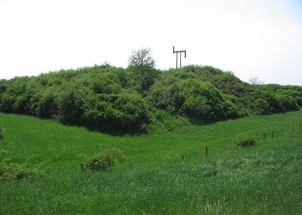
Its name comes from the Kochersberg hill; its highest peak (301 m), stands over Neugartheim-Ittlenheim.
A castle was built on its top in the 13th century. It was destroyed in 1592 and only traces remain.
Between 1794 and 1797, a semaphore tower was built in its place. It was the second relay (after Dingsheim), of the optical telegraph line from Strasbourg to Paris via Saverne and its pass and was used until 1852.
This relay has been replaced in the late 20th century by a motionless memorial which can still be seen (weather permitting), from ten kilometers away.
We use GPS information embedded into the photo when it is available.
3D mountains overlay
Adjust mountain panorama to perfectly match your photos because recorded by camera photo position might be imprecise.
Move tool
Rotate tool
Zoom
More customization
Choose which peak labels should make into the final photo and what photo title should be.
Next
Photo Location
Satellitte
Flat map
Relief map
Latitude
Longitude
Altitude
OR
Latitude
°'''
Longitude
°'''
Apply
Register Peak
Peak Name
Latitude
Longitude
Altitude
Register
Teleport
PeakVisor
This 3D model of Sagarmatha National Park in Nepal was made using the PeakVisor app topographic data. The mobile app features higher precision models worldwide, more topographic details, and works offline. Download PeakVisor maps today.
Download OBJ model
PeakVisor
The download should start shortly. If you find it useful please consider supporting the PeakVisor app.
PeakVisor for iOS and Android
Be a superhero of outdoor navigation with state-of-the-art 3D maps and mountain identification in the palm of your hand!