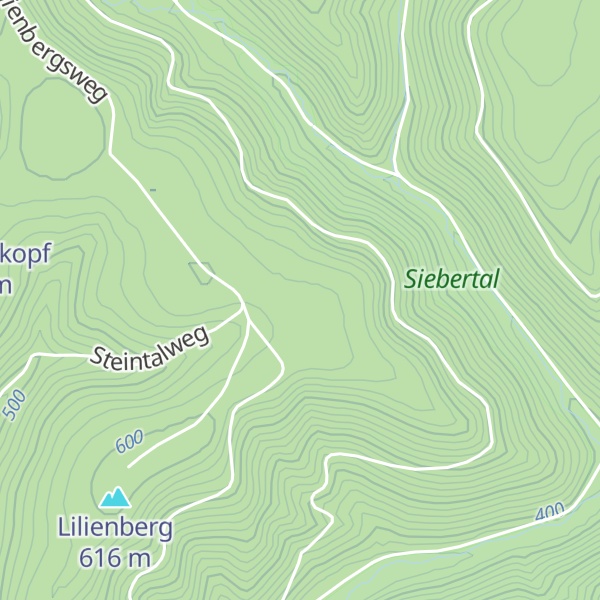
The Kleiner Wurzelnberg hill rises to a height of 610 m above NN in the Harz mountains of Germany, 3.7 km northeast of Sieber in the district of Göttingen in Lower Saxony. It forms a rounded summit (Kuppe) on one of the ridges running south of the Acker which acts as the watershed between the Verlorene Kulmke and the Kleine Kulmke. The Großer Wurzelnberg is located 750 metres further east on the other side of the valley of the Kleine Kulmke.
We use GPS information embedded into the photo when it is available.
3D mountains overlay
Adjust mountain panorama to perfectly match your photos because recorded by camera photo position might be imprecise.
Move tool
Rotate tool
Zoom
More customization
Choose which peak labels should make into the final photo and what photo title should be.
Next
Photo Location
Satellitte
Flat map
Relief map
Latitude
Longitude
Altitude
OR
Latitude
°'''
Longitude
°'''
Apply
Register Peak
Peak Name
Latitude
Longitude
Altitude
Register
Teleport
PeakVisor
This 3D model of Sagarmatha National Park in Nepal was made using the PeakVisor app topographic data. The mobile app features higher precision models worldwide, more topographic details, and works offline. Download PeakVisor maps today.
Download OBJ model
PeakVisor
The download should start shortly. If you find it useful please consider supporting the PeakVisor app.
PeakVisor for iOS and Android
Be a superhero of outdoor navigation with state-of-the-art 3D maps and mountain identification in the palm of your hand!