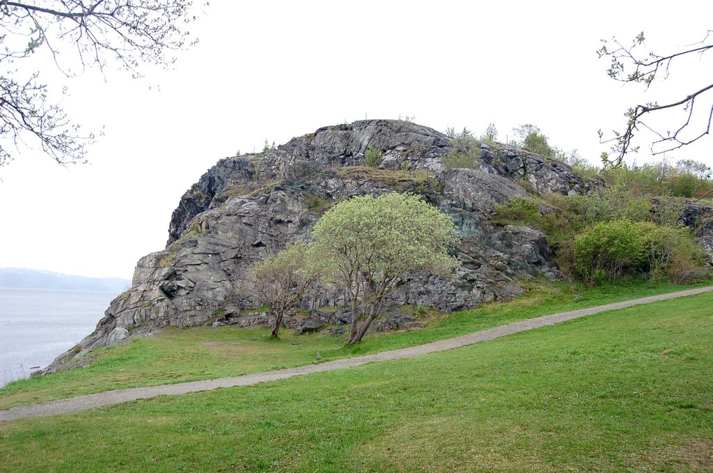
Kjerringberget is a hill located in the Lade area in the municipality of Trondheim in Trøndelag county, Norway. The small mountain is about 45 metres (148 ft) above sea level. The Ladestien trail, which goes from Ladehammeren to Rotvoll, crosses Kjerringberget. The top of Kjerringberget provides a view over western Trondheim, Munkholmen, Trondheimsfjord, and Fosen.
Kjerringberget partly consists of green rocks formed when subterranean magma solidified after flowing out and coming into contact with water, forming pillow lavas. These lavas were later cross-cut by intrusions of trondhjemite. Bymarka west of Trondheim also has similar geological structures, both forming part of the early Ordovician Bymarka ophiolite.
Kjerringberget also has some connections to World War II. Stone from Kjerringberget was used to build a mole in Korsvika. The mole was never finished because the war ended prior to its completion.
We use GPS information embedded into the photo when it is available.
3D mountains overlay
Adjust mountain panorama to perfectly match your photos because recorded by camera photo position might be imprecise.
Move tool
Rotate tool
Zoom
More customization
Choose which peak labels should make into the final photo and what photo title should be.
Next
Photo Location
Satellitte
Flat map
Relief map
Latitude
Longitude
Altitude
OR
Latitude
°'''
Longitude
°'''
Apply
Register Peak
Peak Name
Latitude
Longitude
Altitude
Register
Teleport
PeakVisor
This 3D model of Sagarmatha National Park in Nepal was made using the PeakVisor app topographic data. The mobile app features higher precision models worldwide, more topographic details, and works offline. Download PeakVisor maps today.
Download OBJ model
PeakVisor
The download should start shortly. If you find it useful please consider supporting the PeakVisor app.
PeakVisor for iOS and Android
Be a superhero of outdoor navigation with state-of-the-art 3D maps and mountain identification in the palm of your hand!