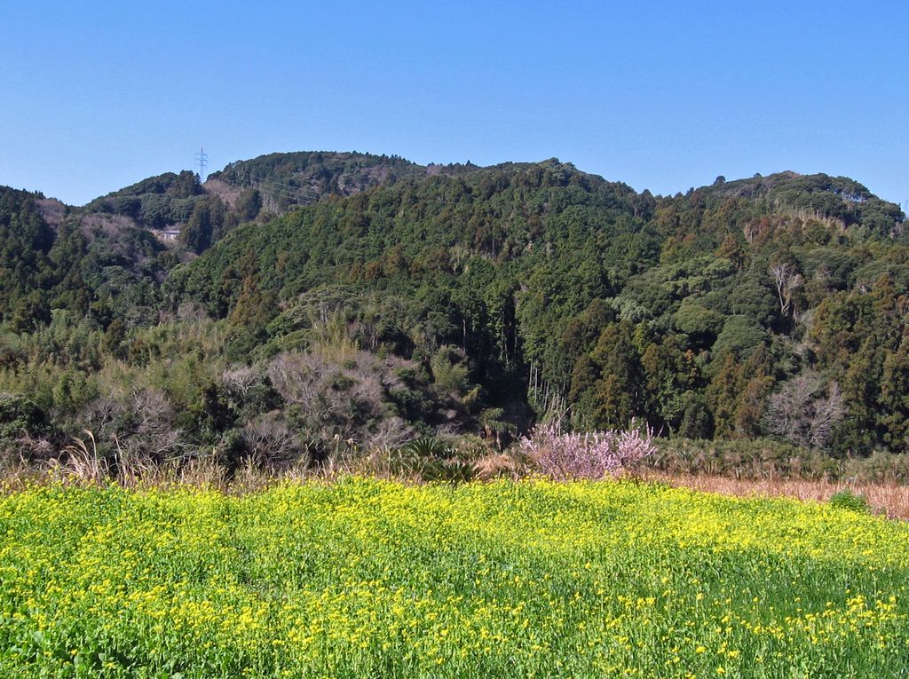
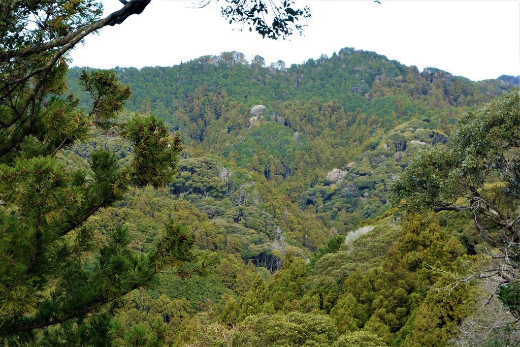
Mount Karasuba (烏場山, Karasuba-yama) is a mountain of modest height on the border of the cities Minamibōsō and Kamogawa in Chiba Prefecture, Japan, reaching an elevation of 266.6 m (875 ft). It is one of the mountains of the Mineoka Mountain District of the Bōsō Hill Range. The kanji for Mount Karasuba, 烏 and 場, mean 'crow' and 'place' respectively. The mountain became a popular hiking destination after the construction of a hiking trail in 1975. The trail features three viewing platforms that offer views of the Pacific Ocean, surrounding hills, and nearby cities.
Mount Karasuba is covered by a laurisilva forest, a type of laurel forest found in subtropical areas. It is home to many examples of the Japanese stone oak and the sudajii castanopsis, an evergreen beech tree. The area around the Odawara district of Minamibōsō is a base for floriculture, and there are many flower fields at the base of Mount Karasuba, even in winter.
We use GPS information embedded into the photo when it is available.
3D mountains overlay
Adjust mountain panorama to perfectly match your photos because recorded by camera photo position might be imprecise.
Move tool
Rotate tool
Zoom
More customization
Choose which peak labels should make into the final photo and what photo title should be.
Next
Photo Location
Satellitte
Flat map
Relief map
Latitude
Longitude
Altitude
OR
Latitude
°'''
Longitude
°'''
Apply
Register Peak
Peak Name
Latitude
Longitude
Altitude
Register
Teleport
PeakVisor
This 3D model of Sagarmatha National Park in Nepal was made using the PeakVisor app topographic data. The mobile app features higher precision models worldwide, more topographic details, and works offline. Download PeakVisor maps today.
Download OBJ model
PeakVisor
The download should start shortly. If you find it useful please consider supporting the PeakVisor app.
PeakVisor for iOS and Android
Be a superhero of outdoor navigation with state-of-the-art 3D maps and mountain identification in the palm of your hand!